


Mount Spieker - Tumbler Ridge, British Columbia
 By Above Tumbler Ridge on YouTube
A flat-topped alpine mountain north of Tumbler Ridge, with an ATV trail up one side, hiking routes up the other, and cracked sandstone cliffs on top. Here is how to get there, the routes, the rock, and our photos and videos from riding it in August 2026.
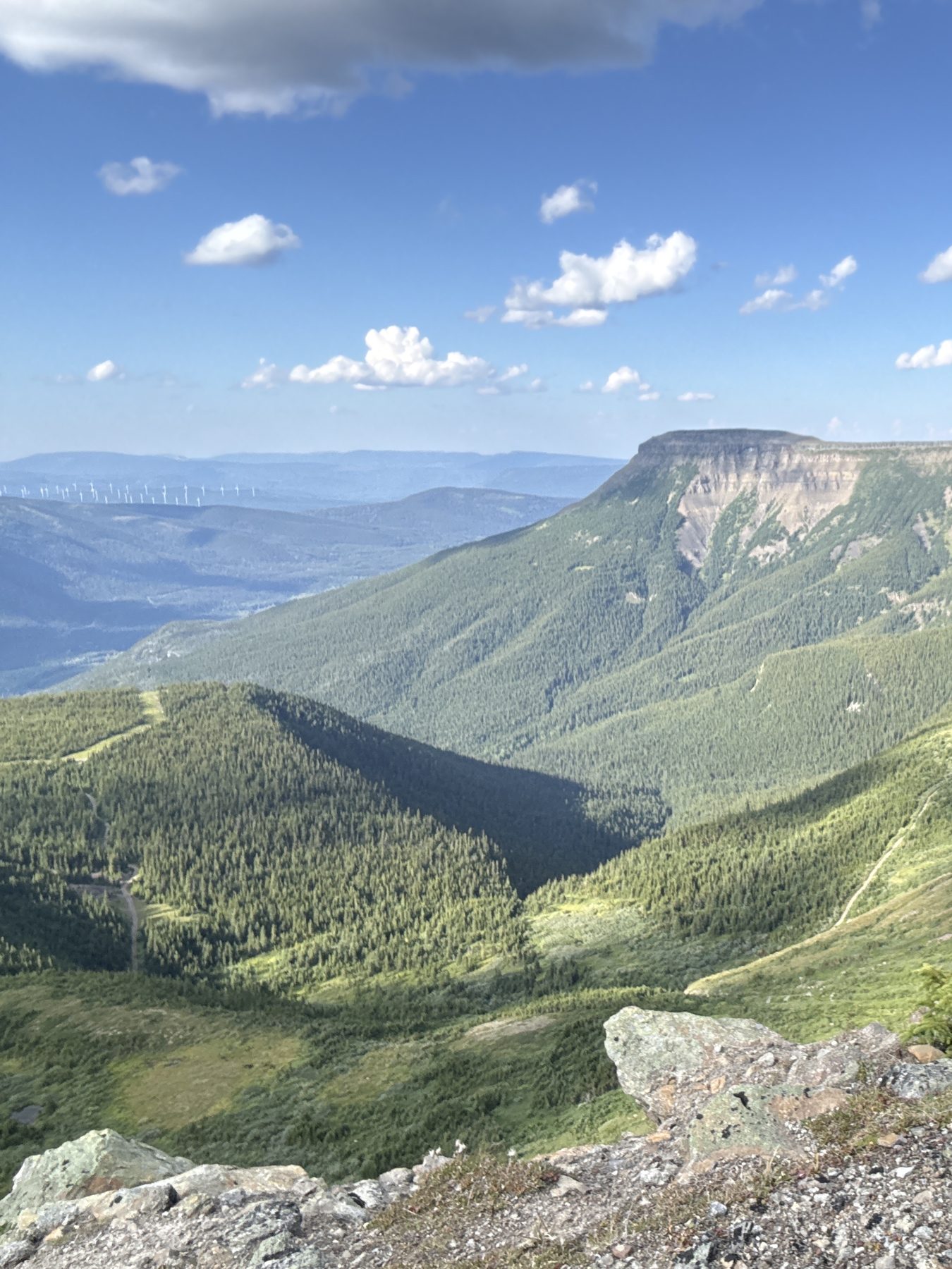
Mount Spieker is a flat-topped mountain north of Tumbler Ridge, inside the Tumbler Ridge UNESCO Global Geopark. Its skyline can be seen from town. Old coal exploration roads climb to the alpine, and once you are on top there is a gentle 4 km ridge to the 1,971 m summit, small tarns, and some of the strangest rock scenery in the Geopark.
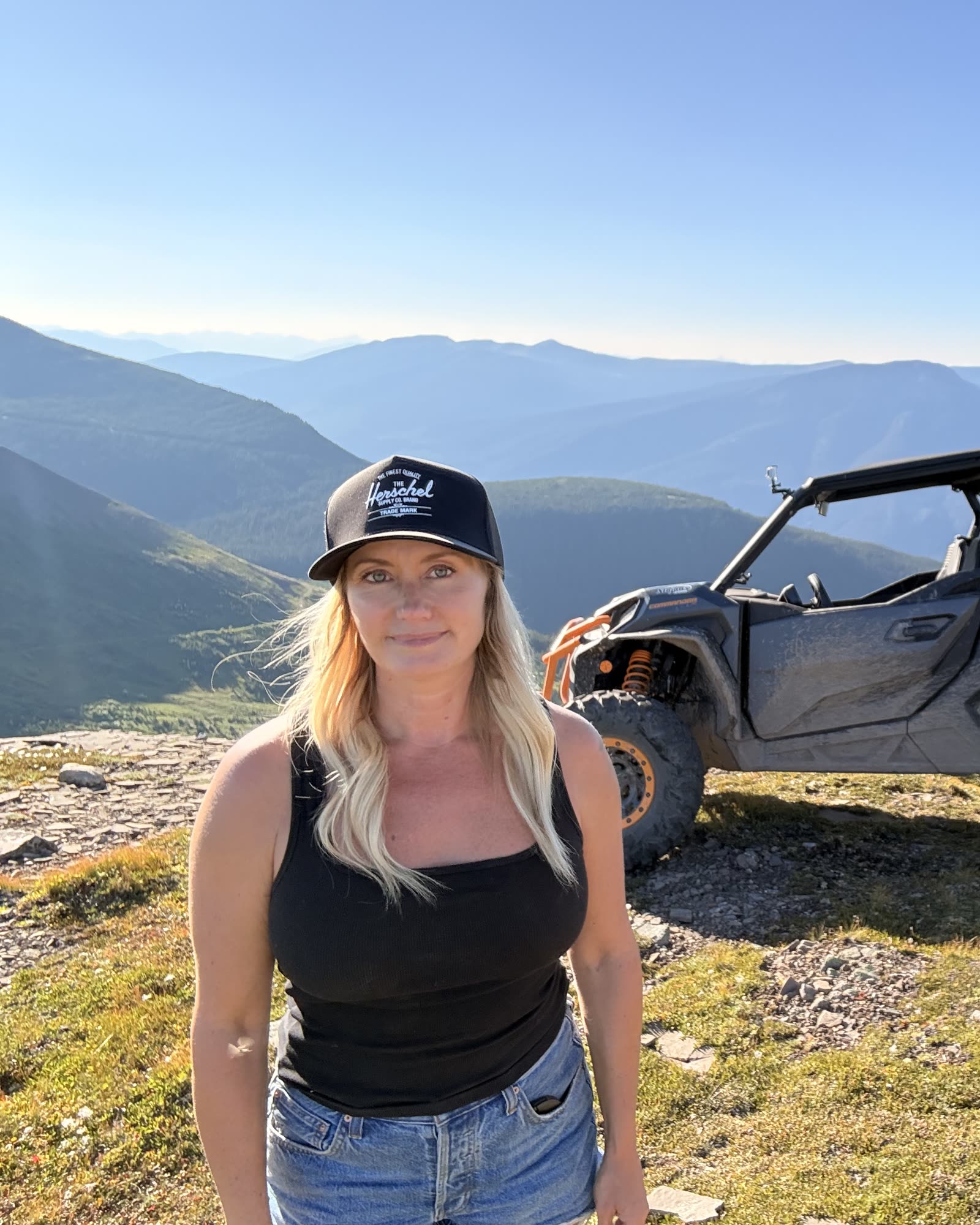
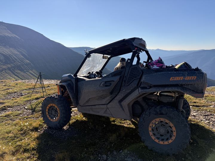
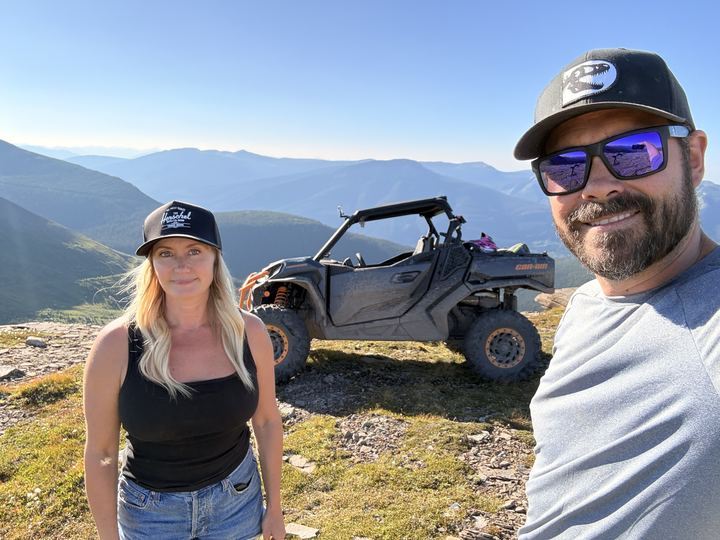
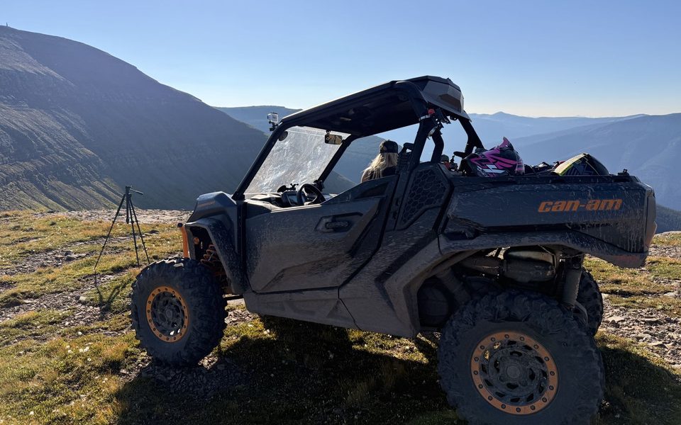
There are two ways up. Hikers start at a gas well at the end of the Perry Creek road, south of the mountain. Riders start from the Windfall Creek Forest Service Road on the north-west side and follow the Grizzly Valley ATV Club’s trail #18, about 10 km one way, rated moderately easy. We took the Commander up the ATV side in August 2026.
Source: Grizzly Valley ATV Club, Mount Spieker brochure (atv / quad), WNMS, Mount Spieker Hiking Routes (hiking), Visit Tumbler Ridge, Mount Spieker (day trip, mountain biking, nordic skiing / snowshoeing).
Sources: WNMS, Mount Spieker Hiking Routes, Tumbler Ridge UNESCO Global Geopark, Mt. Spieker, Visit Tumbler Ridge, Mount Spieker, and the Grizzly Valley ATV Club brochure.
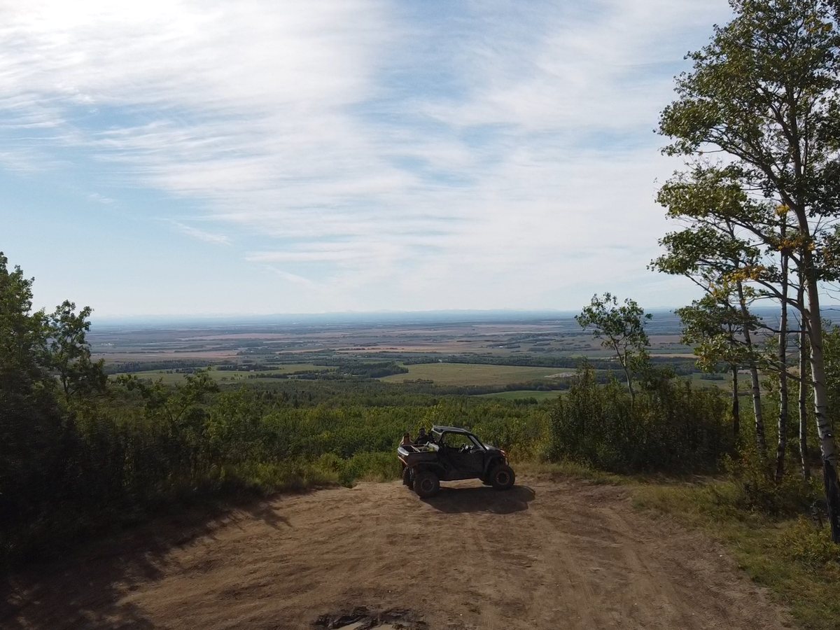
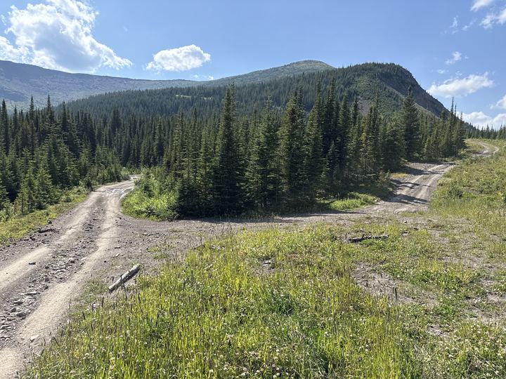
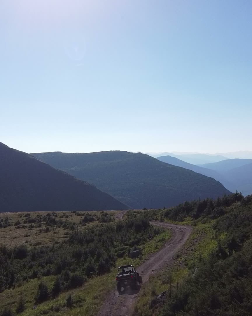
Old coal exploration roads make for a fast, open ride through the spruce. The Commander comes round the corner and leaves the dust hanging in the sun.
See the RouteThe best moments from our August 2026 trip up Mount Spieker, in one post: the ride up in the Commander, the open alpine plateau, and the rocks on top. Swipe through the photos and videos right here, or open the post on Instagram to like it, comment, and follow along.
 Photos and videos from @wildlatitudeco. Instagram loads when you tap.
Riders and hikers use different trailheads on opposite sides of the mountain. Both start north of town on Highway 29, toward Chetwynd. Call the Tumbler Ridge Visitor Centre at (250) 242-3123 for road conditions before you go.
ATV directions from the Grizzly Valley ATV Club brochure and Visit Tumbler Ridge. Hiking directions from WNMS. The Geopark gives the Perry Creek turn at 12.6 km and 15.7 km up Perry Creek Road to the gas site; odometers vary.
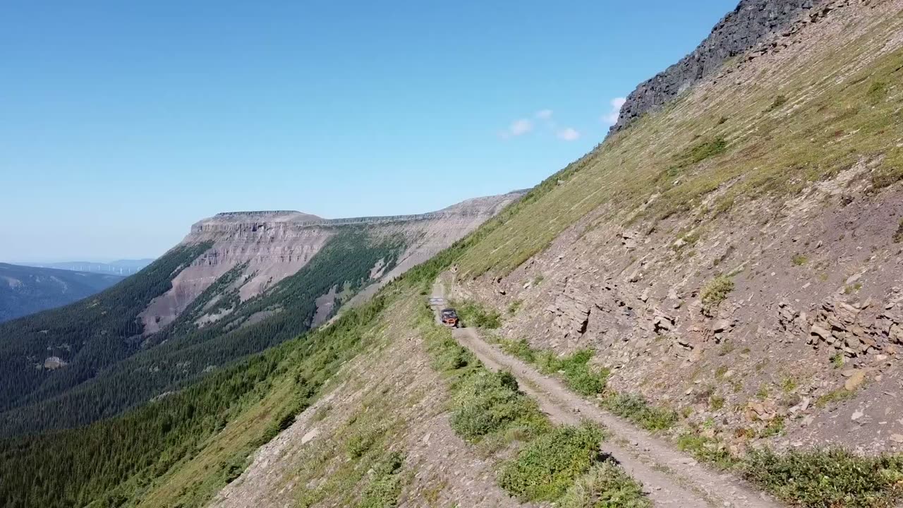
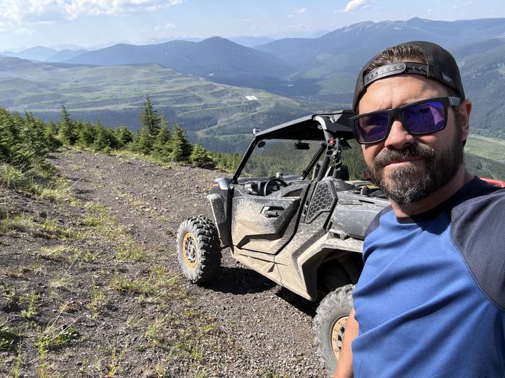
The gravel trail bends along the open hillside, with spruce falling away below and a long line of cliffs across the valley.
The ATV trail to the top, then your three choices for exploring the alpine.
From the staging area, ride about 0.5 km along the Windfall Creek road, then turn left and start climbing on a little-used road.
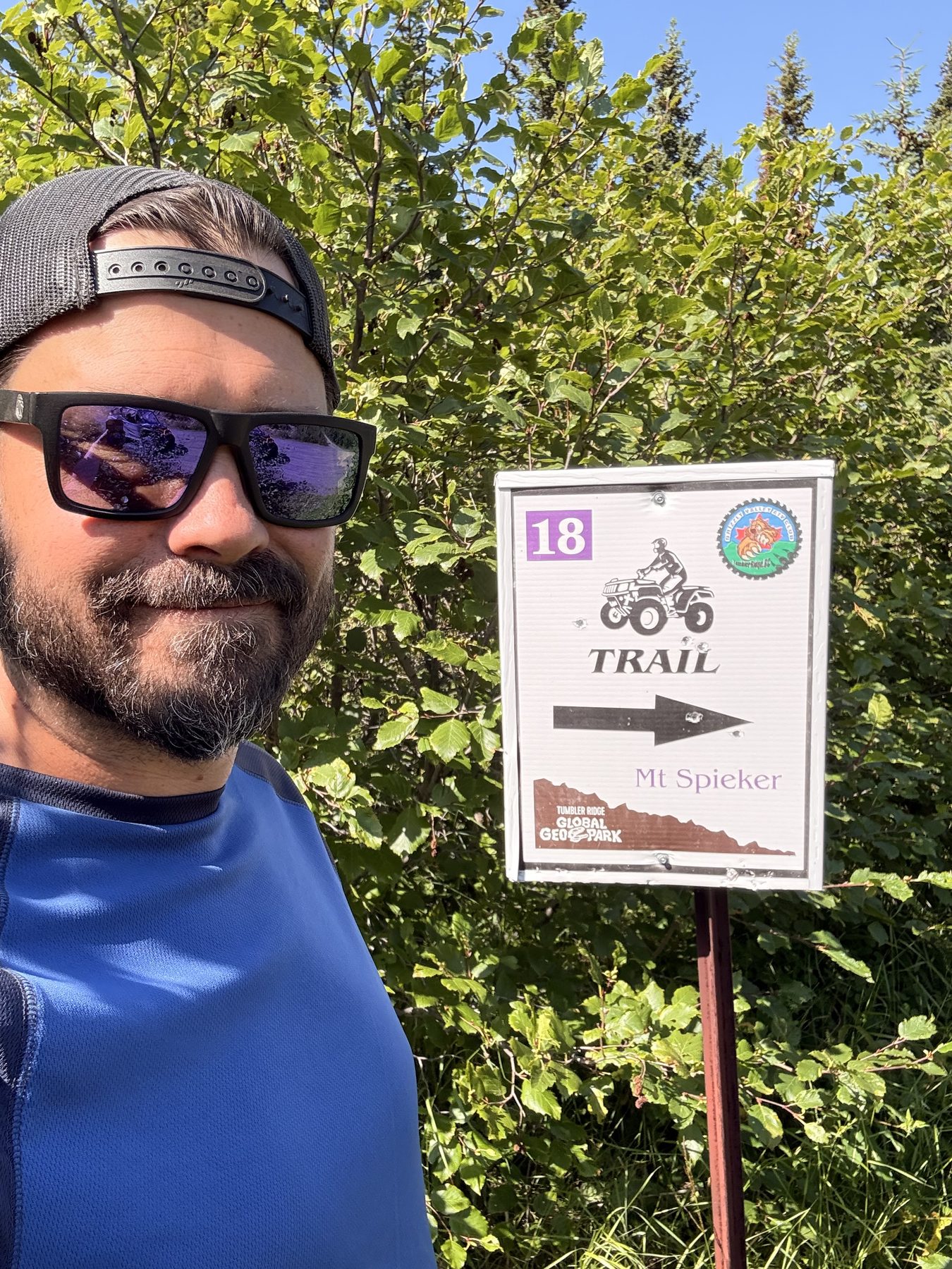
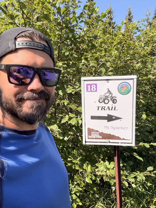
About 4 km up the road, watch for the trail on the right. It leaves the road by climbing a small embankment. The club signs the route as trail 18.
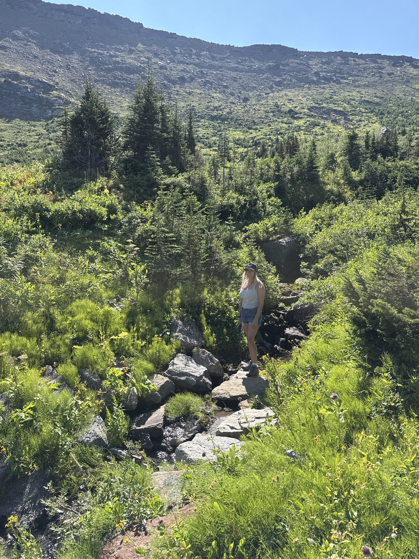
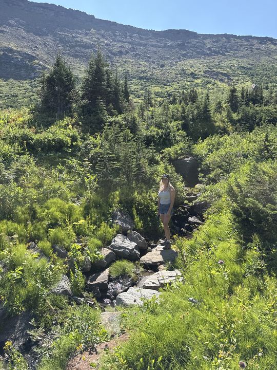
The trail follows a deactivated coal exploration road along the mountainside, past a small waterfall, and through a switchback to the right as you near the top. The club rates the whole ride 2 of 5: moderately easy, with some off-camber sections, hill climbs, rocks, and mud.
East takes you toward the summit of Mount Spieker. South takes you to the Perry Creek Forest Service Road and through to the Wolverine Valley. ATVs must stay on the exploration roads.
From the saddle, an animal path climbs the ridge to the south-west, past the last stunted trees into scrub birch, mountain avens, and moss campion. The top is a good place to look over the former Bullmoose Mine, now returning to wildlife habitat. The high peak to the south is Mount Reesor, 2,043 m.
The true summit lies east along a gentle, 4 km alpine ridge, the skyline you see from Tumbler Ridge. Wildflowers bloom in profusion here in July and August, and marmots live among the rocks.
WNMS and the Geopark both say the most interesting scenery is on the northern leg: views in every direction, small tarns, and cracked rock. Midway along is the Playpen, where crack patterns in the rock form low, intersecting walls, like a corral for small children.
The ridge is bounded by cliffs on both sides and narrows to the north until it squeezes down to the Neck, a strip just a few metres wide with an impressive pattern of intersecting cracks. Two small lakes sit below the east cliffs. Carry on north for a viewpoint over Bullmoose Creek and Bullmoose Mountain, 2,040 m; with binoculars you may spot mountain goats on its south slopes.
Route details from the Grizzly Valley ATV Club brochure, the WNMS trail guide, the WNMS brochure (January 2025), the Tumbler Ridge UNESCO Global Geopark, and Visit Tumbler Ridge. WNMS and Visit Tumbler Ridge list the hike as 6 km return to the summit; the club lists the ATV route as 10 km one way.
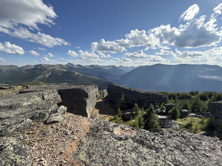
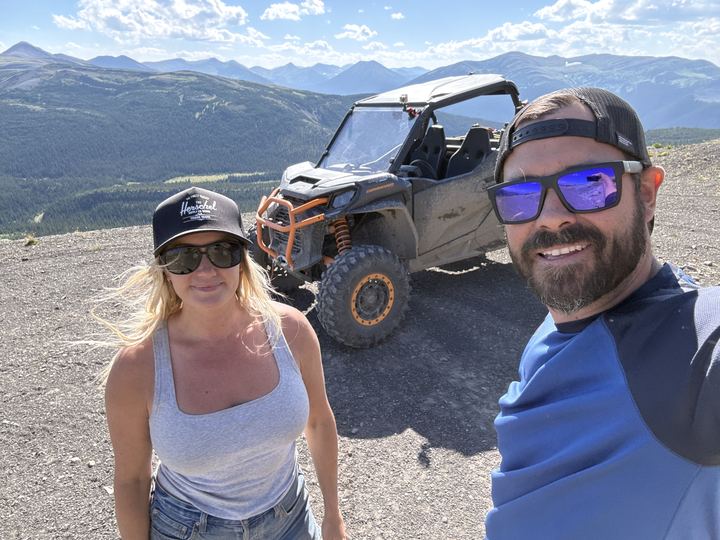
Step out onto the rock above the valley and the ridges around Tumbler Ridge roll out in every direction.
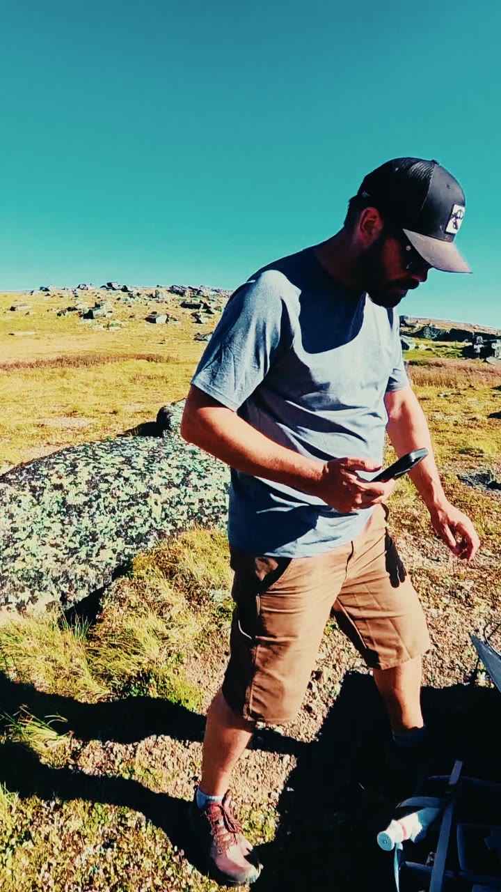
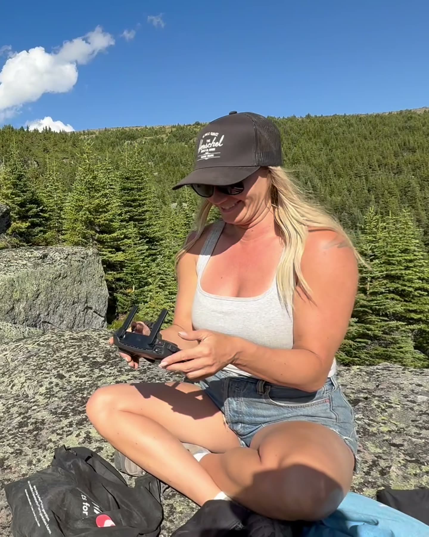
Know Before You GoWe stopped for lunch way up on the Mount Spieker plateau. While we ate, Ryan unfolded the solar panels on his BLUETTI Handsfree backpack so we could power up our cameras and drone.
 Our reel from @wildlatitudeco. Instagram loads when you tap.
Our track from both days on the mountain and the waypoints we marked, recorded in Avenza Maps. Explore it on the map, select a pin to see its name, and download the GPX to follow the same line.
Our track from both days on Mount Spieker, August 21 and 22, 2026, between the ATV trailhead and the south end of the plateau, with 14 waypoints we marked along the way: trail forks, viewpoints, the Rock Gardens Picnic Area, and a spot to explore next time.
GPX is the standard file for sharing a GPS track: our route as a line of points, each with a position and an elevation. Import it into Trailforks, Gaia GPS, Avenza Maps, onX, Garmin Connect, or any app or handheld GPS that reads GPX, and you can follow the same line we rode. Download the map for offline use before you leave cell service, and carry a paper map and compass as backup.
We camped at Moose Lake Recreation Site, north of Tumbler Ridge off Highway 29, and drove our Can-Am Commander along the highway to the Bullmoose Mine turnoff, our staging area for Mount Spieker.
Moose Lake details from Visit Tumbler Ridge and Camping RV BC. Call the Tumbler Ridge Visitor Centre at (250) 242-3123 for road conditions.
Sources: Visit Tumbler Ridge, WNMS, and the WNMS brochure.
Alpine weather, wildfire, and road conditions change quickly. These official sources open straight to the right place, so check them the day you head out.
 Forecast at Mount SpiekerHour-by-hour Environment Canada model forecast for this exact spot, via SpotWX. Mountain weather can differ a lot from town.
 Tumbler Ridge forecast and alertsThe official 7-day forecast for Tumbler Ridge, with any active weather warnings.Weather alerts mapEvery active Environment Canada warning and advisory, on a map.
From the drone, the Commander is a speck on the old road cut into the mountainside, with rock and spruce above and below.
Read the RockThe summit plateau, and the vertical cliffs that hold it up, are rocks of the Gates Formation, laid down in the Lower Cretaceous. Coal seams in the same formation are the reason Tumbler Ridge has metallurgical coal mines.
The thick sandstone and conglomerate is deeply cracked, making small grottos to scramble and explore, and the cliffs break away into blocks along the edges. Large quartzite erratics sit on the conglomerate in places. Elsewhere the thinner layers show cross-bedding, a sign of the ancient river or tidal currents that laid down the sand.
Sources: Tumbler Ridge UNESCO Global Geopark, Mt. Spieker, Visit Tumbler Ridge.
Visit the Geosite Page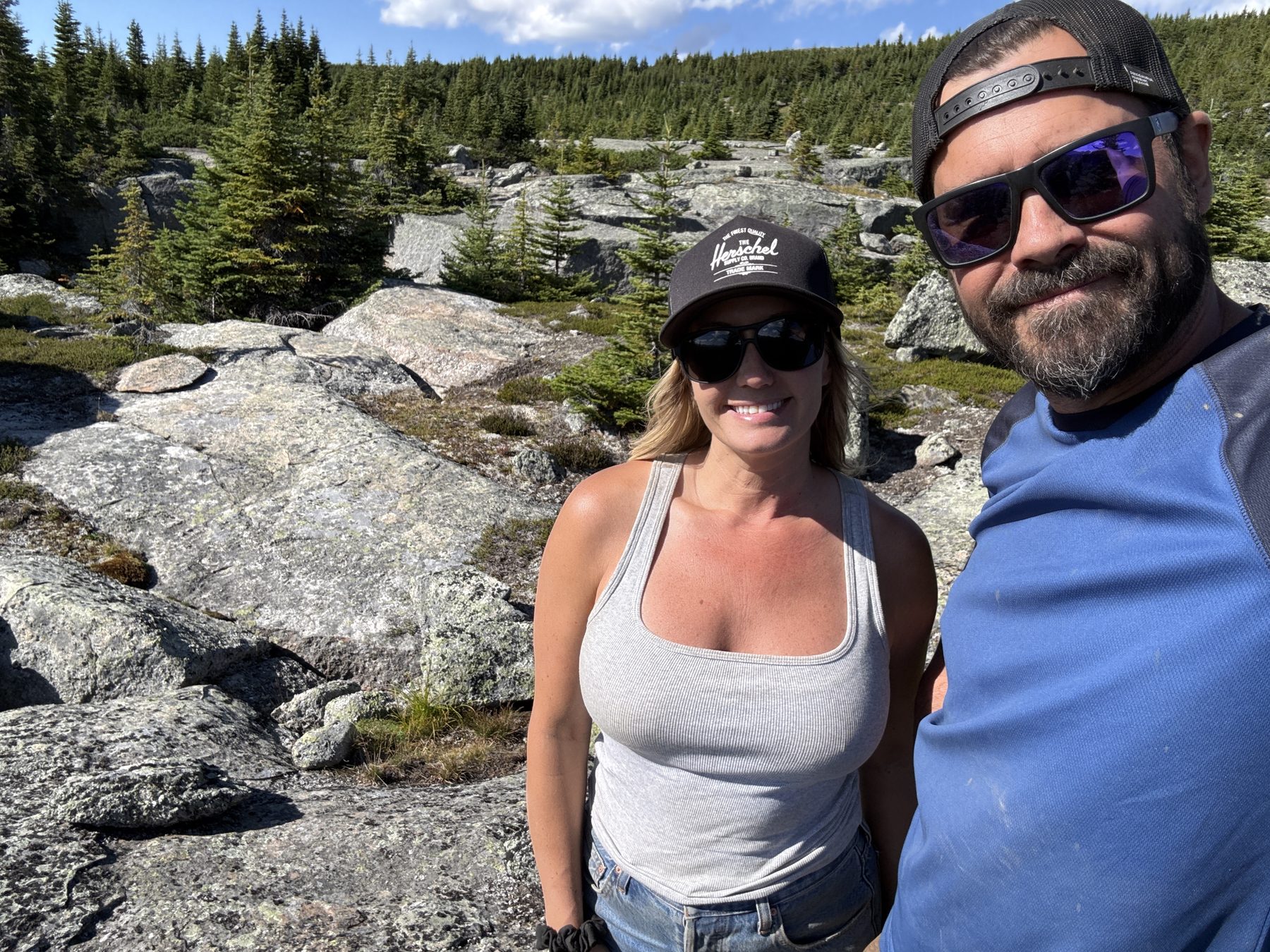
Stacie stands on a rock to meditate. Ryan, in the background, tells the camera, "this is how the magic is made," then walks up beside her with an "Om."
 Our reel from @wildlatitudeco. Instagram loads when you tap.
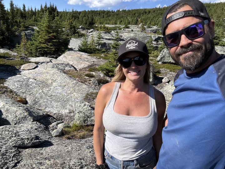
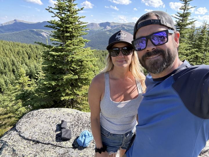
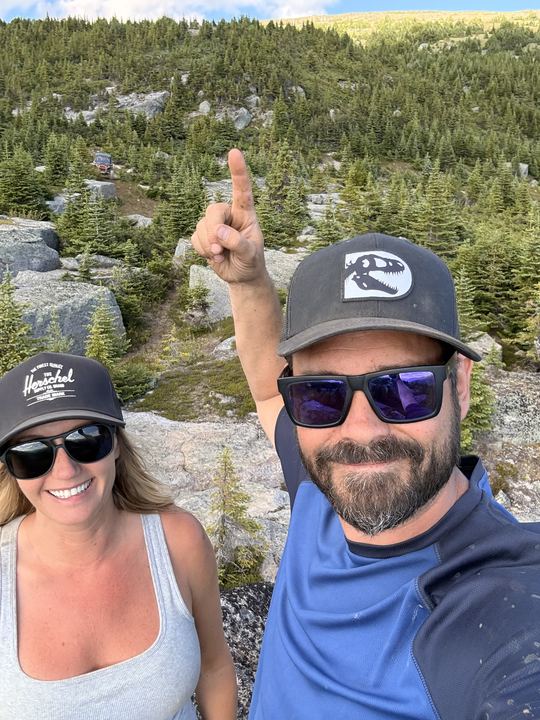
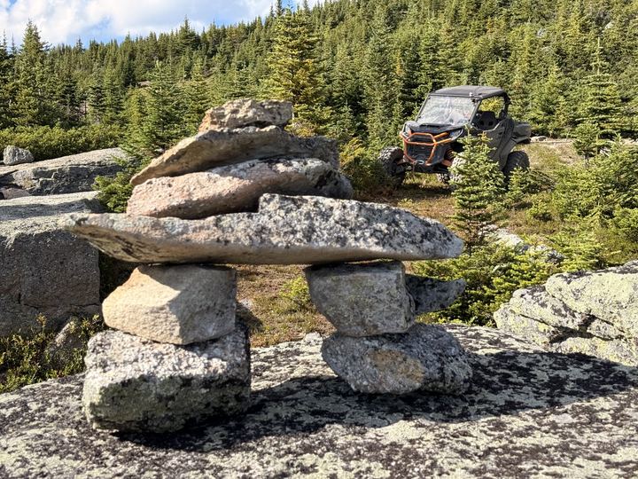
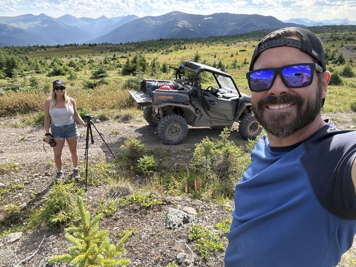
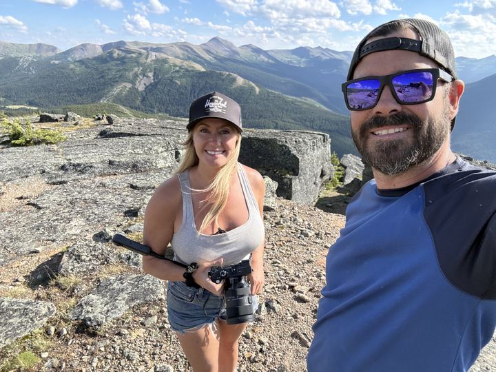
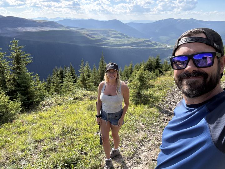
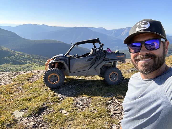
Our photos from the trail and the alpine on Mount Spieker, August 2026. Select any photo to open it full size.
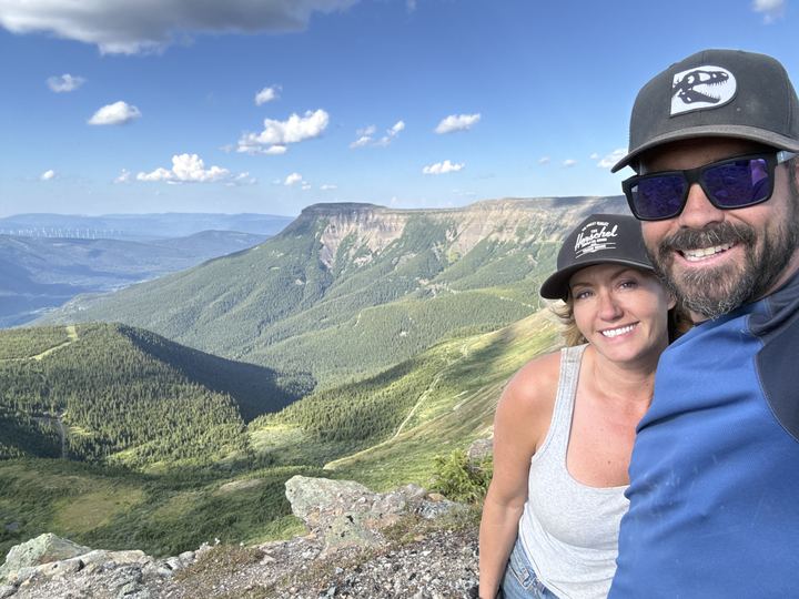
Not ours. This is someone else’s video of the mountain, shared because it shows the ridge well. All credit to the creator; please subscribe to their channel.
By Above Tumbler Ridge on YouTube
Videos from other creators are embedded from YouTube and remain the property of their owners. Wild Latitude is not affiliated with these channels. Nothing loads from YouTube until you press play.
The sources we used to plan. Open either brochure map right here, or download it from its owner before you lose signal.
 WNMS Trail GuideMount Spieker Hiking Routes #18 from the trail builders
 Tumbler Ridge UNESCO Global GeoparkMount Spieker geosite: Gates Formation geology and the Neck
 Visit Tumbler RidgeMount Spieker hiking, ATV, and wildlife information
 Recreation Sites and Trails BCOfficial provincial listing for the Mount Spieker Trail
Mount Spieker is a flat-topped mountain north of Tumbler Ridge in northeastern British Columbia, inside the Tumbler Ridge UNESCO Global Geopark. Its skyline can be seen from town.
The summit is 1,971 m above sea level, according to WNMS and the Tumbler Ridge UNESCO Global Geopark.
Yes. The Grizzly Valley ATV Club rides Mount Spieker as its trail #18, about 10 km one way from a staging area off the Windfall Creek Forest Service Road, rated 2 of 5 (moderately easy). Visit Tumbler Ridge says ATVs must stay on the exploration roads.
WNMS lists 6 km return to the summit, 3 to 4 hours, with 330 m of elevation gain, rated moderate. The routes above the saddle are open alpine, not built trails, so route-finding skills help.
Hikers start at the gas well at the end of the Perry Creek road, reached from Highway 29 by the radio-controlled Wolverine Forest Service Road. Riders offload at a staging area just before an electrical substation on the Windfall Creek Forest Service Road, off the Bullmoose Mine road.
Two rock features on the northern leg of the ridge. The Playpen is a spot where cracks in the rock form low intersecting walls like a corral. The Neck is where the ridge squeezes down to a strip a few metres wide, with an impressive pattern of intersecting cracks.
July and August, when the alpine wildflowers are in bloom. Snow can sit in the cracks in the cliffs even in late summer, and wind and fog can move in without warning.
Grizzly bears, marmots, white-tailed and willow ptarmigan, and golden eagles are all seen often. Caribou are spotted in the alpine, and mountain goats live on Bullmoose Mountain across the valley.
Answers draw on WNMS, the Tumbler Ridge UNESCO Global Geopark, Visit Tumbler Ridge, and the Grizzly Valley ATV Club brochure.
We were sad to leave, but we can't wait to come back. Great adventure.
 Our reel from @wildlatitudeco. Instagram loads when you tap.
Trip stories, planning and gear posts from the Wild Latitude blog that cover Mount Spieker.
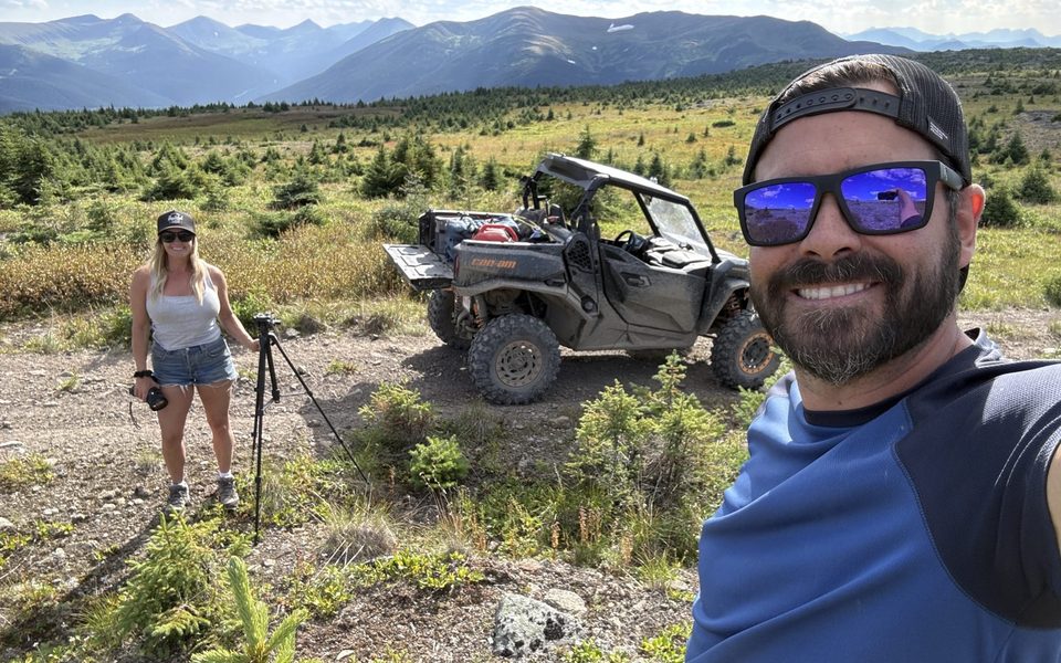 Our Story
Behind the Scenes: How the Magic Is Made
The final shot looks cinematic. The behind-the-scenes is considerably less serious. Filming our second film at Moose Lake and Mount Spieker.
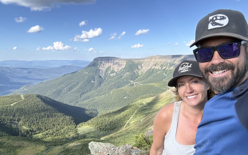 Off-Grid Tech & Gear
We Live by the Sun
House, campsite, trail: all of it runs on sun. The story behind our BLUETTI Banff Mountain Film Festival entry.
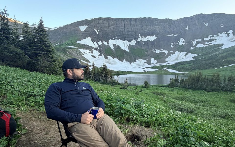 Off-Grid Tech & Gear
How We Work From the Backcountry
A Starlink Mini, a few batteries, and as much sun as we can catch. Our whole off-grid office setup, piece by piece, and how it fits together.
 Trip Planning
6 Adventures Near Grande Prairie, Alberta
From the Dunes on the edge of town to alpine lakes in Tumbler Ridge: the six trips we have full guides for, how far they are, and who they suit.
 Trip Planning
Our First Season, and Where We're Headed Next
A look back at our first season in the Commander, and a map of the winter and summer trips we're planning next. Got ideas? We'd love to hear them.
Every trip we take gets its own guide. Start with the others around Tumbler Ridge.
Check the conditions, pack layers for the alpine, open the brochure map, and follow along for the next adventure.