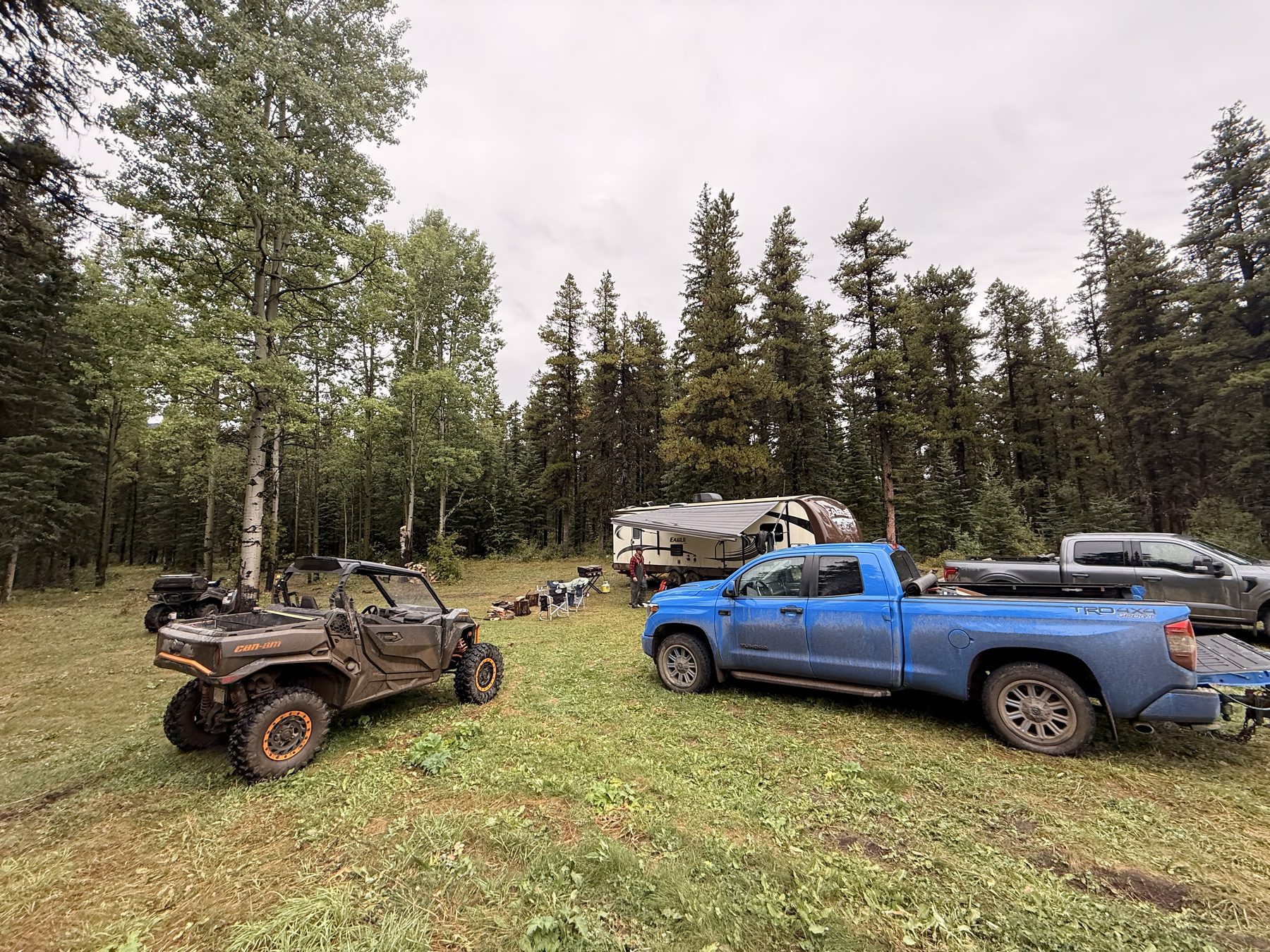
Km 0 · Our camp
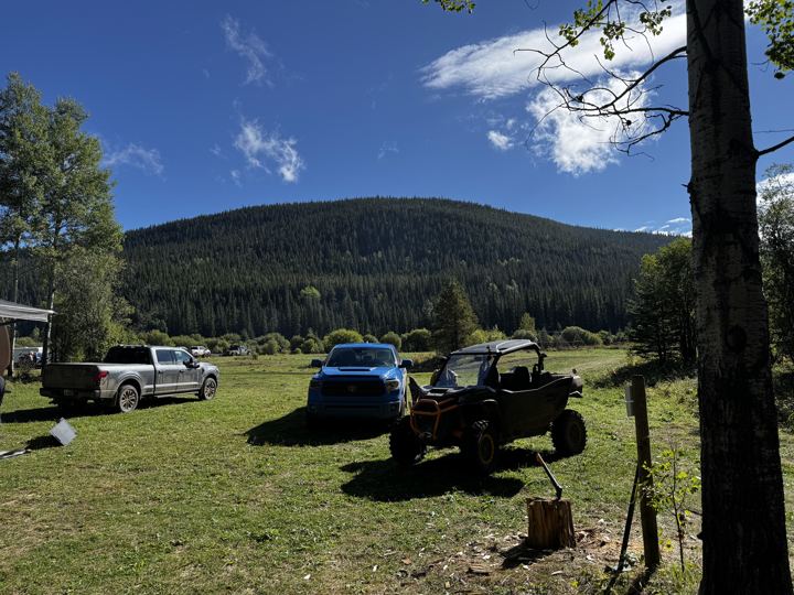
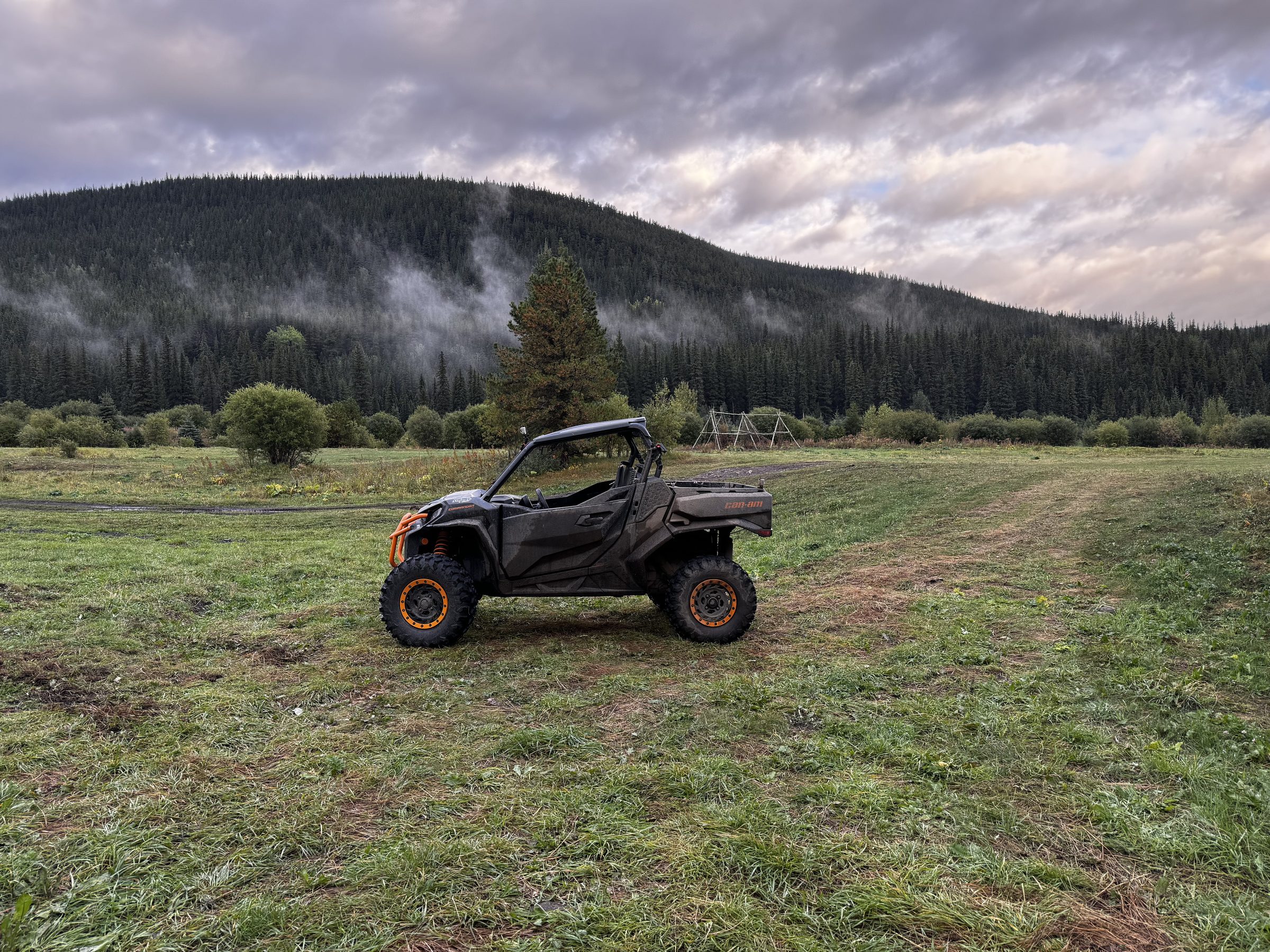
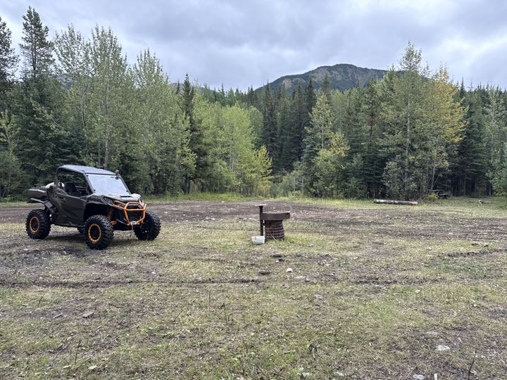
Sherman Meadow
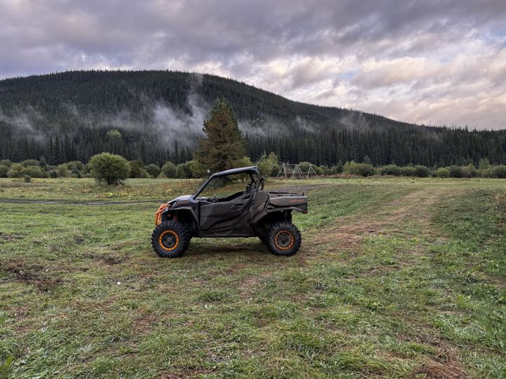
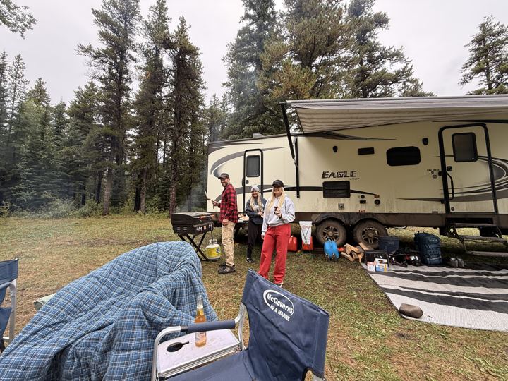
Wide open, with corrals and fire pits and room for a travel trailer and all our gear. We did not see toilets or water. Camping pass area.
Open in Google Maps →
Alberta’s tallest waterfall, at the end of the Two Lakes Road and a rough 4x4 trail south-west of Grande Prairie. Here is how to get there, where to camp, our GPS tracks, and our photos and videos from a long weekend at Sherman Meadow with a side trip up Horn Ridge.
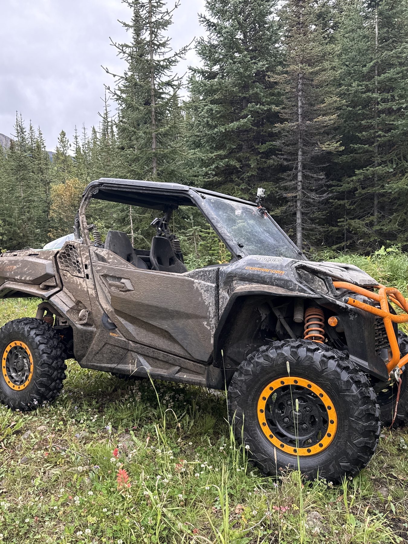
Kakwa Falls is the tallest waterfall in Alberta: the Kakwa River drops 30 m over a ledge into a punch bowl, deep in Kakwa Wildland Provincial Park near the British Columbia border. Getting there is half the trip. The Two Lakes Road is a long industrial gravel road, and the last stretch is a rough trail that Alberta Parks says only quads should take.
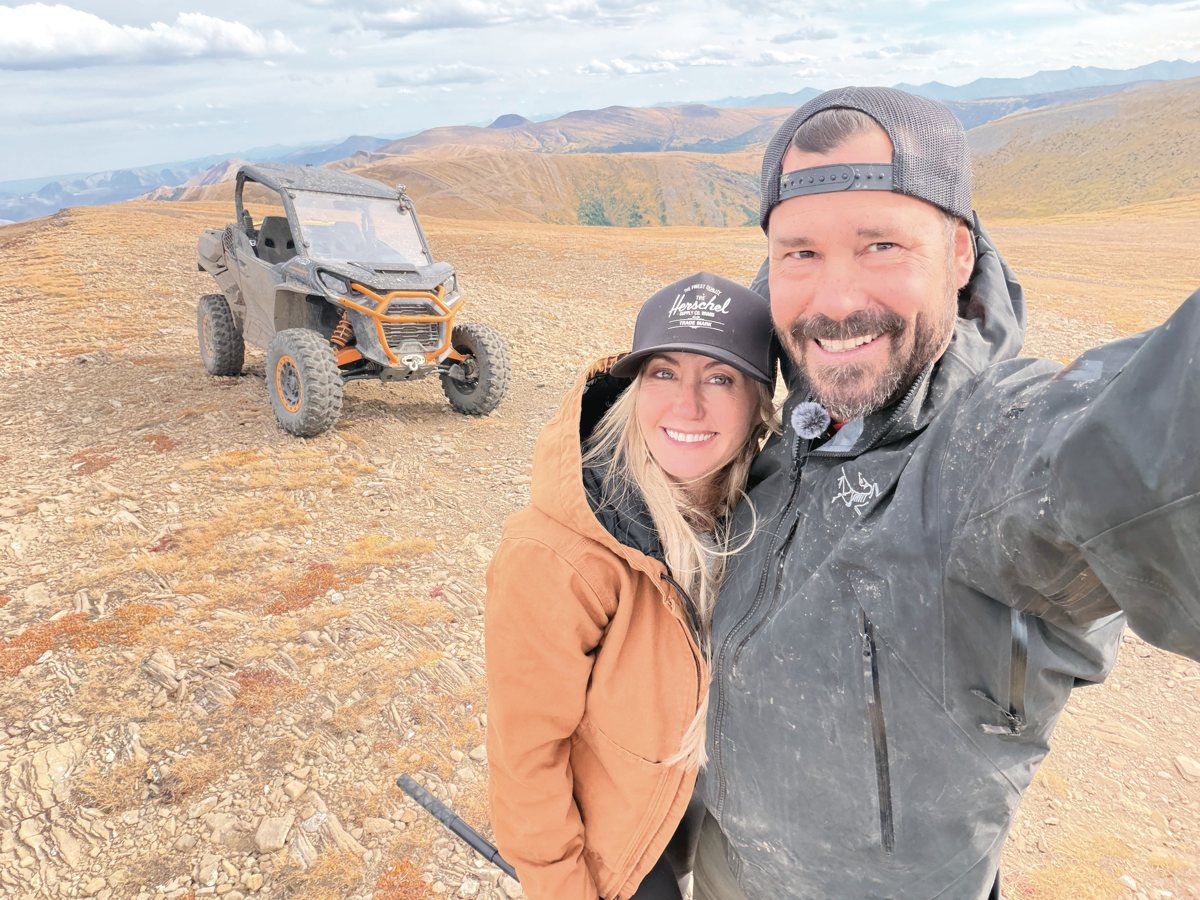
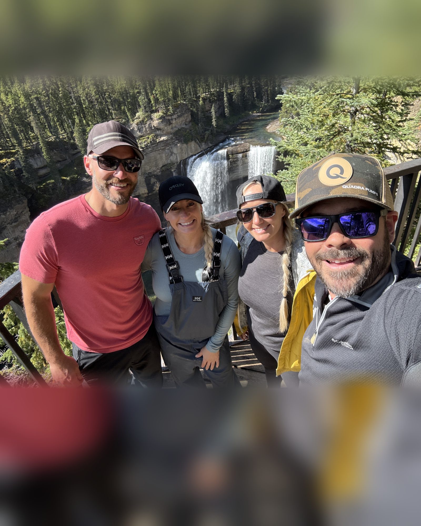
We spent the Labour Day long weekend at Sherman Meadow, a big open staging area on public land outside the park, with Stacie’s twin sister Shelly and her boyfriend Nick. From camp it was 25.8 km on our GPS track to the falls parking area, and 55 km for the day there and back. From the parking area, a 1.2 km walk through the trees takes you to the viewing deck.
On our last day we tried Horn Ridge, an alpine ridge on the park’s northern edge, and turned back about halfway up. Our tracks, waypoints, and four campsites are all in Maps & GPX and Campsites.
Source: Alberta Parks, Kakwa Wildland Provincial Park (horseback riding, hiking, snowmobiling).
Sources: Alberta Parks, Kakwa Wildland Provincial Park, Alberta Parks, Kakwa recreation, RidersWest (2014), Government of Alberta, Public Lands Camping Pass (Sherman Meadow checked against its boundary map). Distances are from our own GPS track.
The whole weekend was about this view. Our drone drifts in over the Kakwa River canyon as the river pours 30 m over the ledge into its punch bowl: Alberta’s tallest waterfall.
How We Got ThereThe best moments from our long weekend at Kakwa Falls, in one post: the ride in, the falls, our camp at Sherman Meadow, and Horn Ridge. Swipe through the photos and videos right here, or open the post on Instagram to like it, comment, and follow along.
 Photos and videos from @wildlatitudeco. Instagram loads when you tap.
Alberta Parks publishes a kilometre log for the drive; past Sherman Meadow we have added the distances from our own track. There is no cell service in the park, so call Alberta Parks in Grande Prairie at 780-538-5350 for road conditions before you leave town.
Kilometre log from the Alberta Parks Kakwa brochure. Sherman Meadow on the Alberta Parks Two Lakes and Kakwa corridor map. Vehicle rules from Alberta Parks, Kakwa recreation. Kilometres from Sherman Meadow are from our own Avenza Maps track; odometers vary. Alberta Parks also gives 120 km and 140 km from Grande Prairie to Two Lakes.
A wide, sunny meadow inside the park, about 4 km before the falls. We stopped here just before 1 p.m. to stretch our legs before the last, roughest stretch.
Every stop we marked between Sherman Meadow and the falls, in order, with the kilometre from camp. Scroll through it, or open the same waypoints on the map in Maps & GPX.
A huge open field on public land, with corrals and fire pits and room for trucks, trailers, and a travel trailer. Horses were wandering through while we were there. We camped here three nights and rode from here each day.
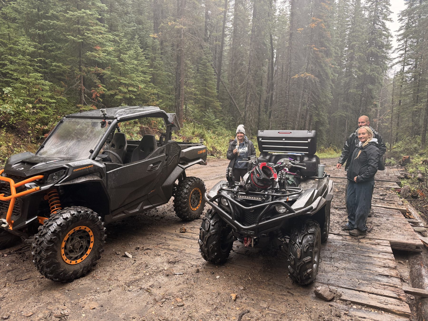
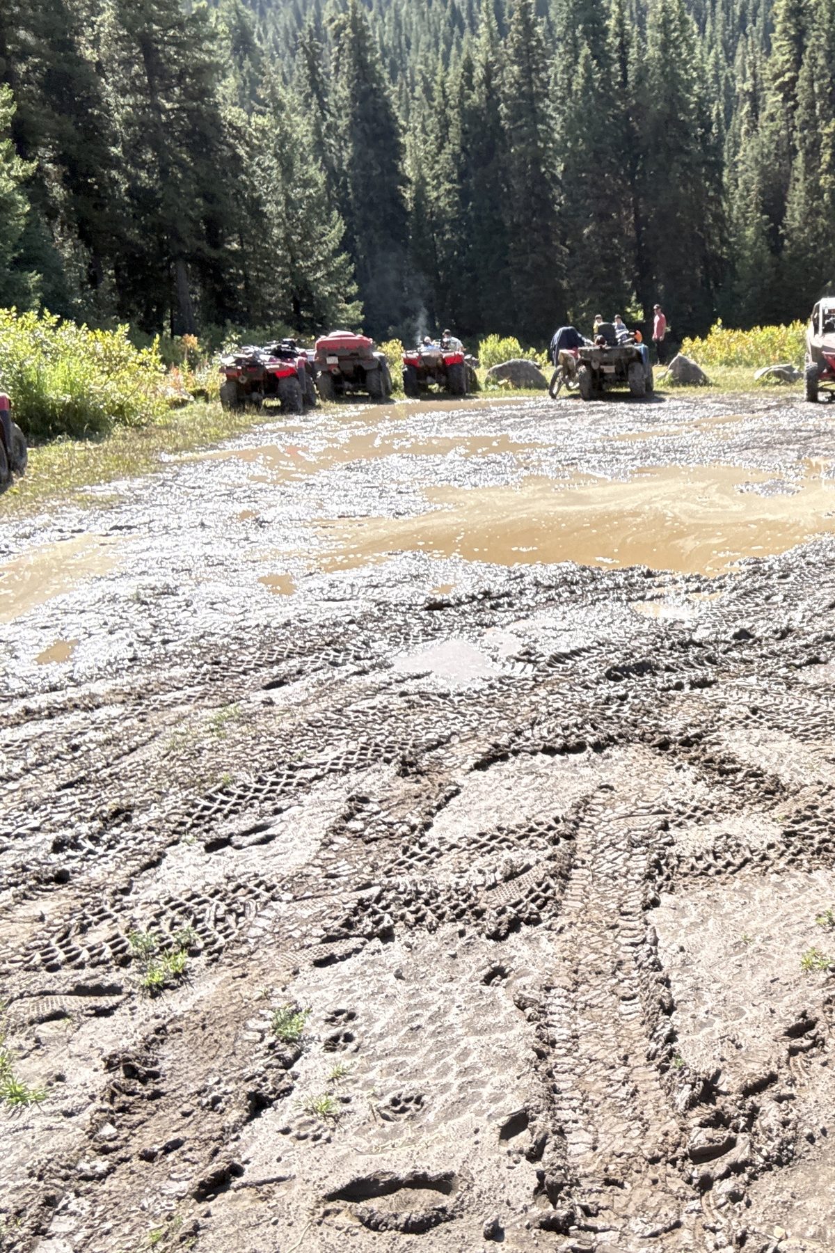
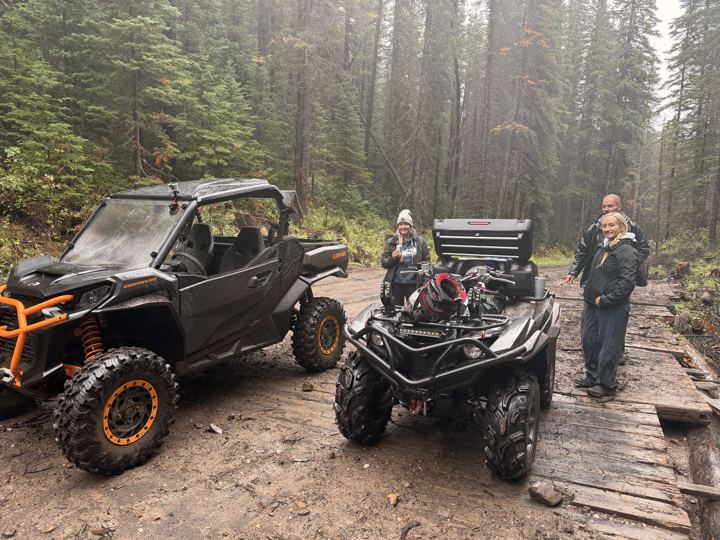
Wooden rig mats laid over a wet section of the trail. In Friday’s rain this was as far as we went: a good spot to stop, stretch, and turn around.
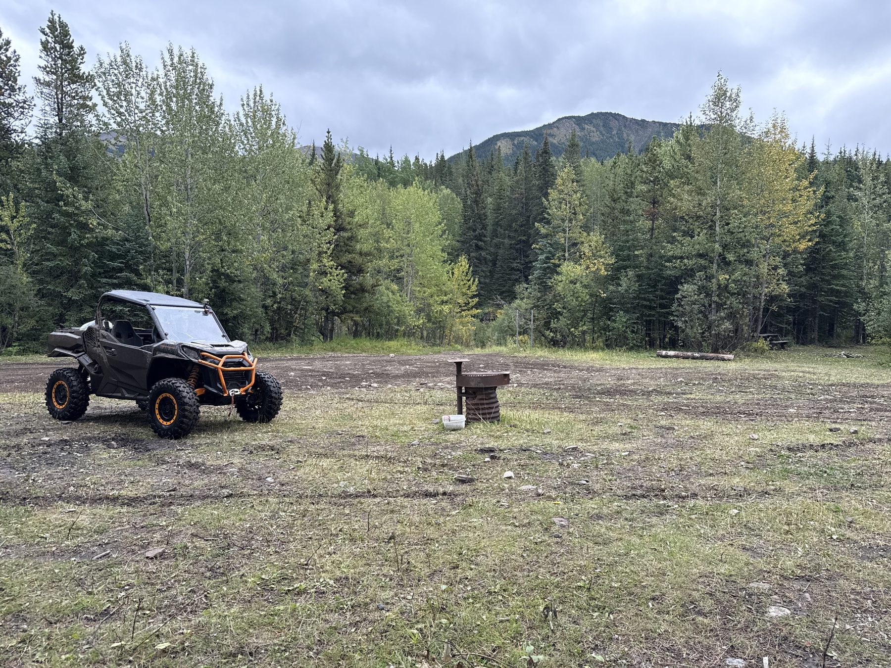
A big, open clearing with a fire pit, just before the park boundary. The Horn Ridge trail starts here; stay on the main trail for the falls. RidersWest describes the same split: right for Horn Ridge, left for the falls.
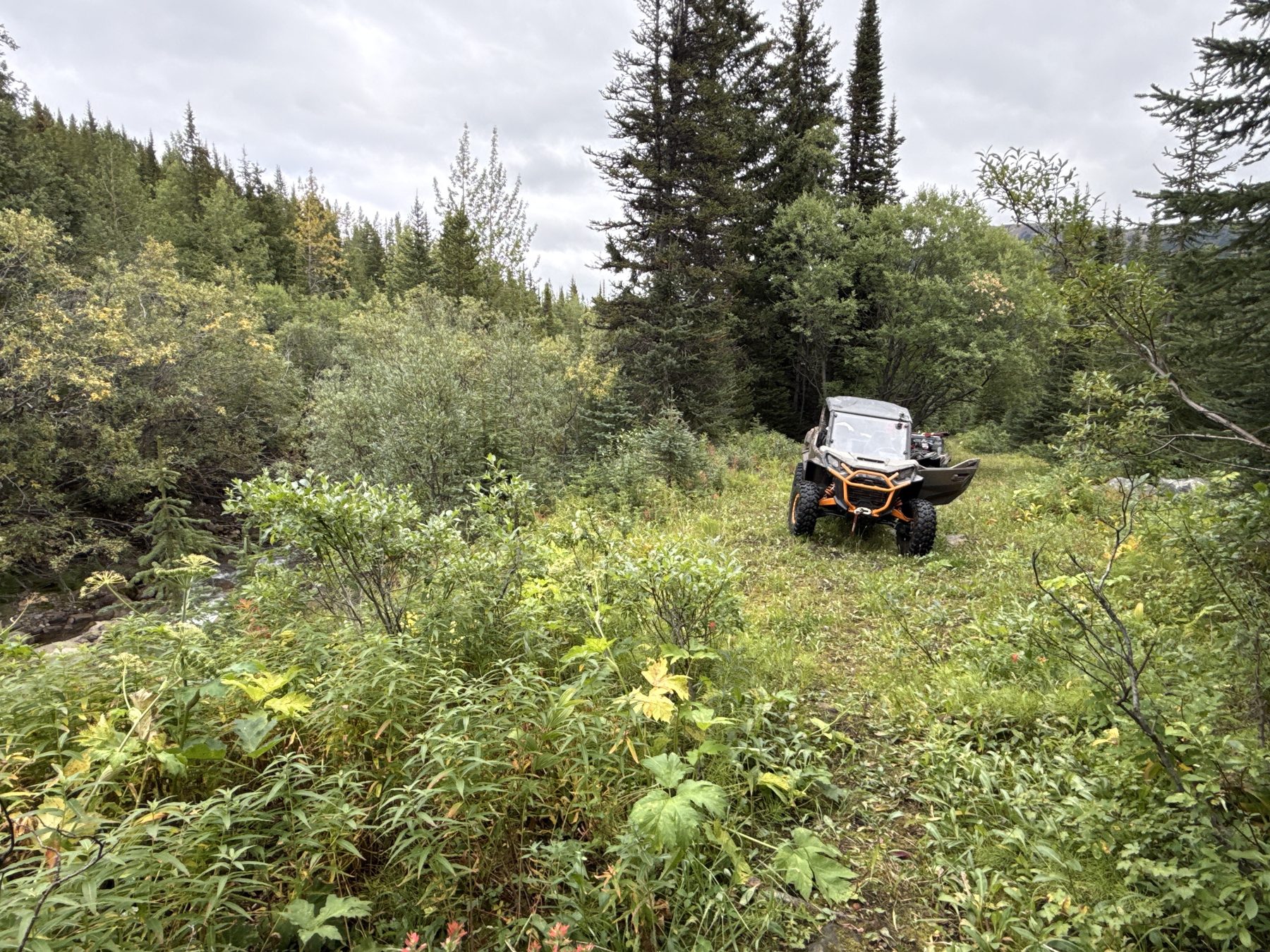
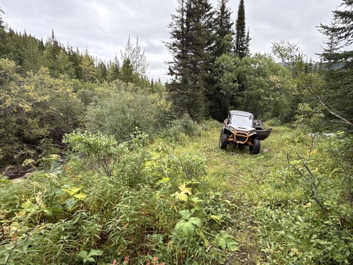
A short side trail drops to a grassy clearing beside a creek: a perfect spot for a side-by-side and a small camp. We checked it out on the ride back from the falls.
An equestrian staging area inside the park, in a big open meadow. Its campsites are for equestrian users only. From here to the falls, Alberta Parks recommends quads only.
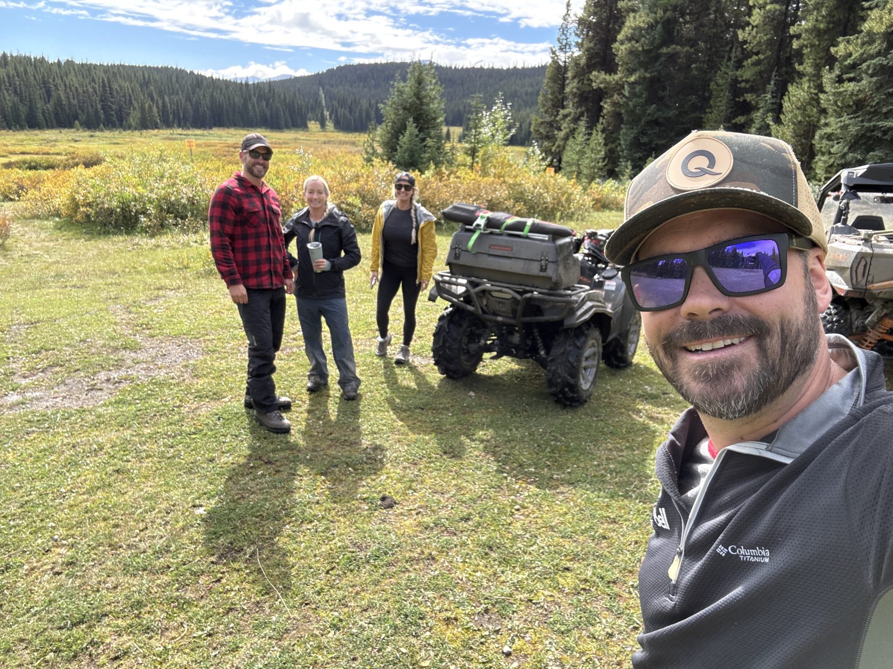
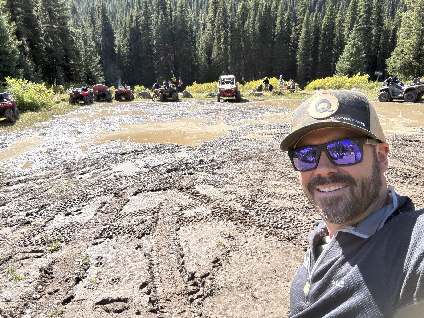
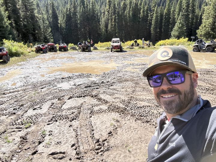
The end of the trail for machines: a big, muddy parking lot with picnic tables, fire pits, and vault toilets. On a sunny long weekend it was full of quads and side-by-sides.
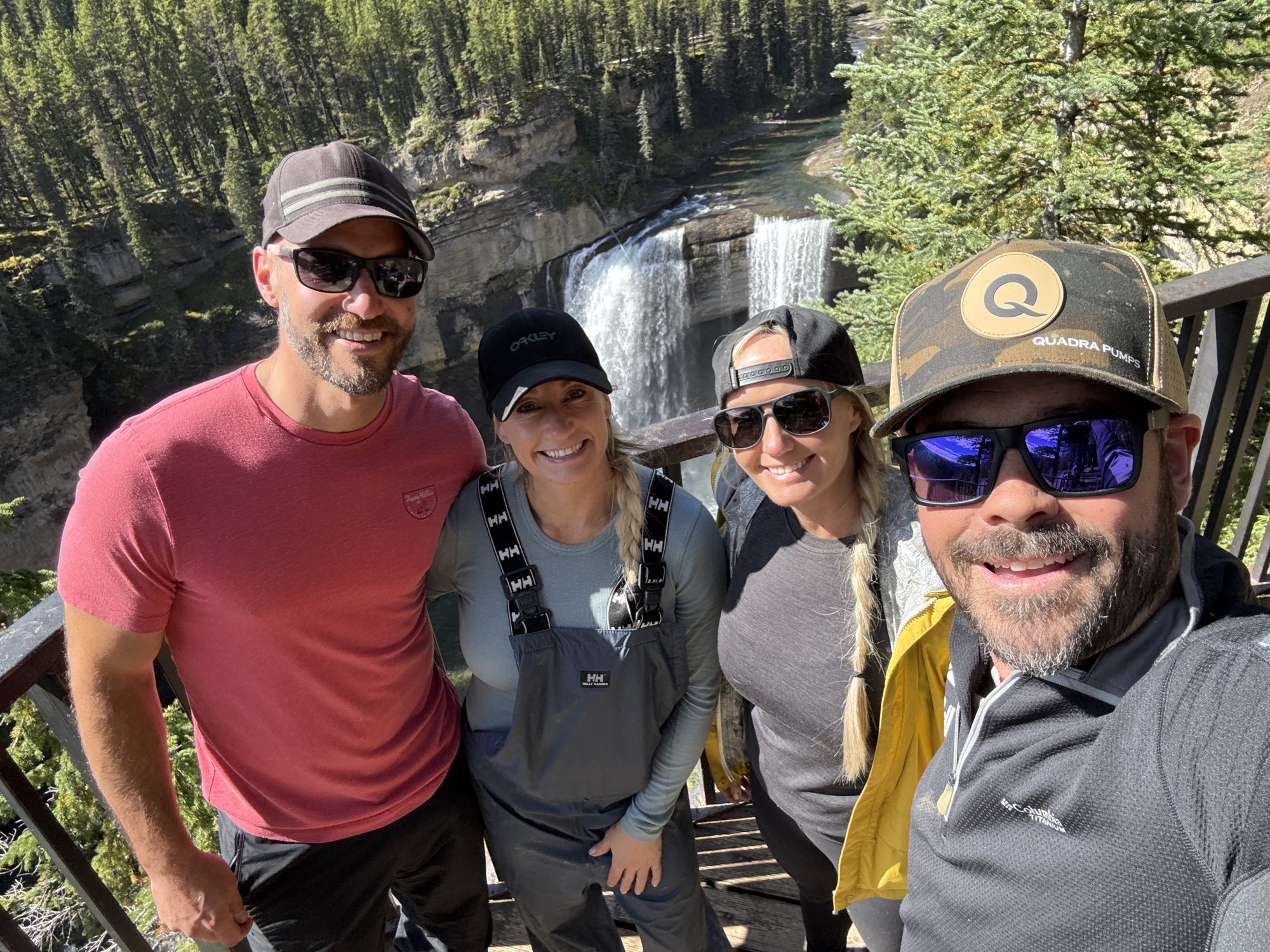
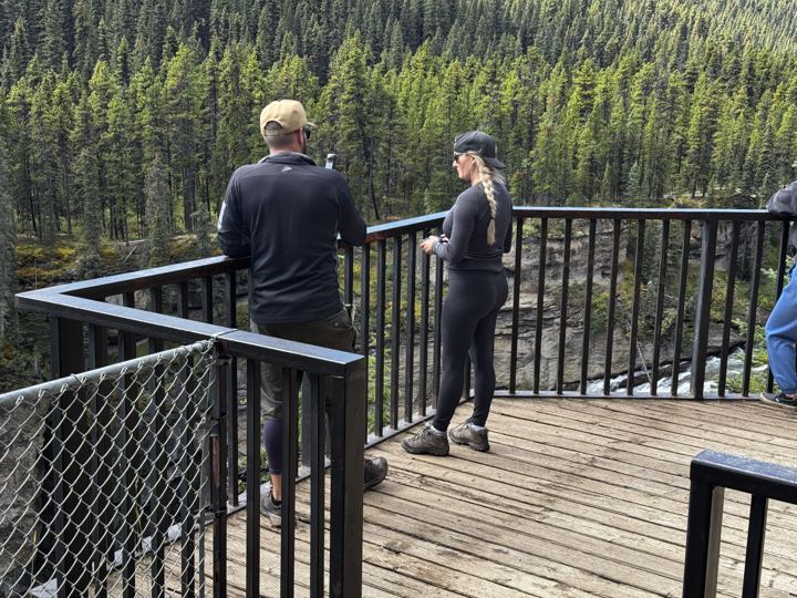
A treed walking trail runs along the canyon to a wooden viewing deck over the falls. Alberta’s tallest waterfall pours 30 m over a rock ledge into the Kakwa River canyon below.
Waypoints, notes, and kilometres are from our own Avenza Maps recordings, September 4 to 6, 2026. The junction split matches RidersWest; facilities and vehicle rules are from Alberta Parks, Kakwa Falls day use and Alberta Parks, Kakwa recreation. The park has two more waterfalls, Lower Kakwa Falls and Francis Peak Creek Falls; we did not visit them.
Our three rides from Sherman Meadow and nine waypoints, recorded in Avenza Maps. Explore them on the map, select a pin to read our note, and download the GPX to follow the same line.
Our three rides from Sherman Meadow, September 4 to 6, 2026, and nine waypoints: our camp, the rig mats, the Horn Ridge junction, two campsites, Deadhorse Meadows, the day use area, the falls, and our Horn Ridge turnaround. Select a pin to read our note.
GPX is the standard file for sharing a GPS track: our route as a line of points, each with a position and an elevation. Import it into Trailforks, Gaia GPS, Avenza Maps, onX, Garmin Connect, or any app or handheld GPS that reads GPX, and you can follow the same line we rode. Download the map for offline use before you leave cell service, and carry a paper map and compass as backup.
We camped at Sherman Meadow and marked three more spots on the trail. Scroll on to see all four.
Wide open, with corrals and fire pits and room for a travel trailer and all our gear. We did not see toilets or water. Camping pass area.
Open in Google Maps →
A big, open clearing with a fire pit, where the Horn Ridge trail starts. Room for several machines.
Open in Google Maps →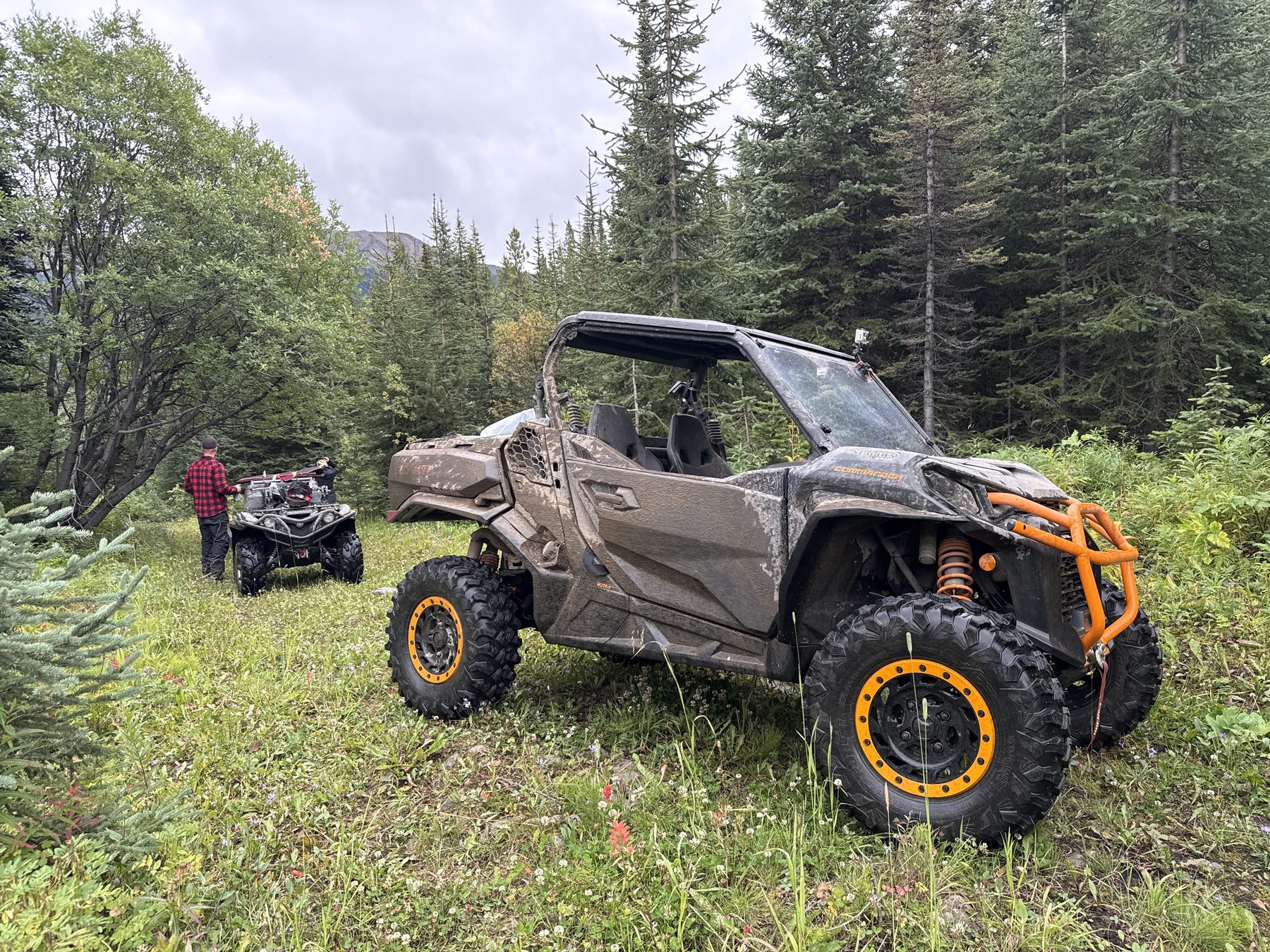
A grassy clearing beside a creek, a short drop off the trail. We marked it as our dream spot for a small side-by-side camp.
Open in Google Maps →
Equestrian staging inside the park, with privies and fire pits but no water. Its campsites are for equestrian users only.
Open in Google Maps →Sources: Government of Alberta, Public Lands Camping Pass (Sherman Meadow checked against the government’s boundary map), Alberta Parks, Kakwa recreation, Alberta Parks, Deadhorse Meadows, Alberta Parks, Two Lakes brochure. Campsite notes and coordinates are from our own trip.
Sources: Alberta Parks, Kakwa recreation, Alberta Parks, Kakwa Wildland Provincial Park, Alberta Parks Kakwa brochure (wildlife), RidersWest (water and timing), and our own trip.
Weather, wildfire, and road conditions change quickly this far out. These official sources open straight to the right place, so check them the day you head out.
 Forecast at Kakwa FallsHour-by-hour Environment Canada model forecast for this exact spot, via SpotWX. Mountain weather can differ a lot from town.
 Grande Cache forecast and alertsThe official 7-day forecast for Grande Cache, with any active weather warnings.Weather alerts mapEvery active Environment Canada warning and advisory, on a map.
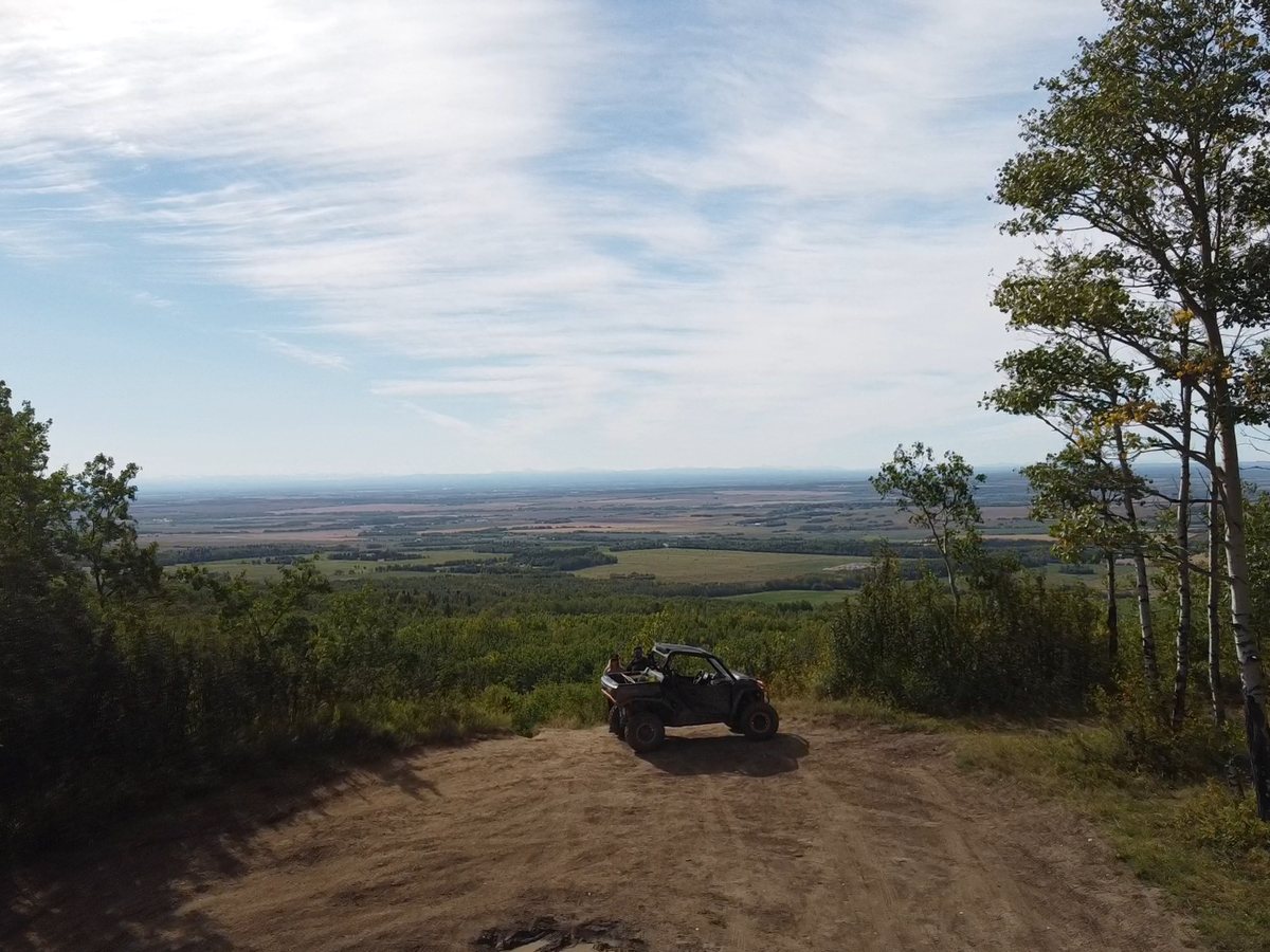
Horn Ridge is an alpine ridge on the northern edge of Kakwa Wildland Provincial Park, about 9 km north of the falls. RidersWest describes old exploration roads over most of the ridge, outside the park, with one branch climbing to a forestry radio repeater and views over the Kakwa Valley and Two Lakes.
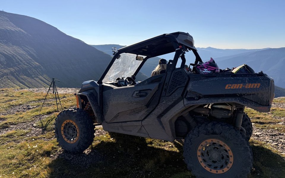
On Sunday we rode up from the open campsite at the junction. In 3.3 km the trail climbed from about 1,330 m to 1,680 m and got steadily rougher, with loose rock and steep, rocky pitches. At our pop break, about halfway up, we turned around. We had not packed tire patch kits, and one of our crew had an injured neck that was getting sore with every bump.
Mountain goats and grizzly bears live up here, and it is fragile alpine country, so stay on the existing trails. In 2025 the Government of Alberta’s draft Upper Smoky Sub-regional Plan proposed a conservation area covering Coal, Horn, and Torrens Ridge for caribou summer range.
Sources: RidersWest (2014), Canadian Geographical Names Database, Horn Ridge, CPAWS Northern Alberta (2025), Government of Alberta, Upper Smoky Sub-regional Plan. Distances and elevations are from our own track.
See Our Horn Ridge Track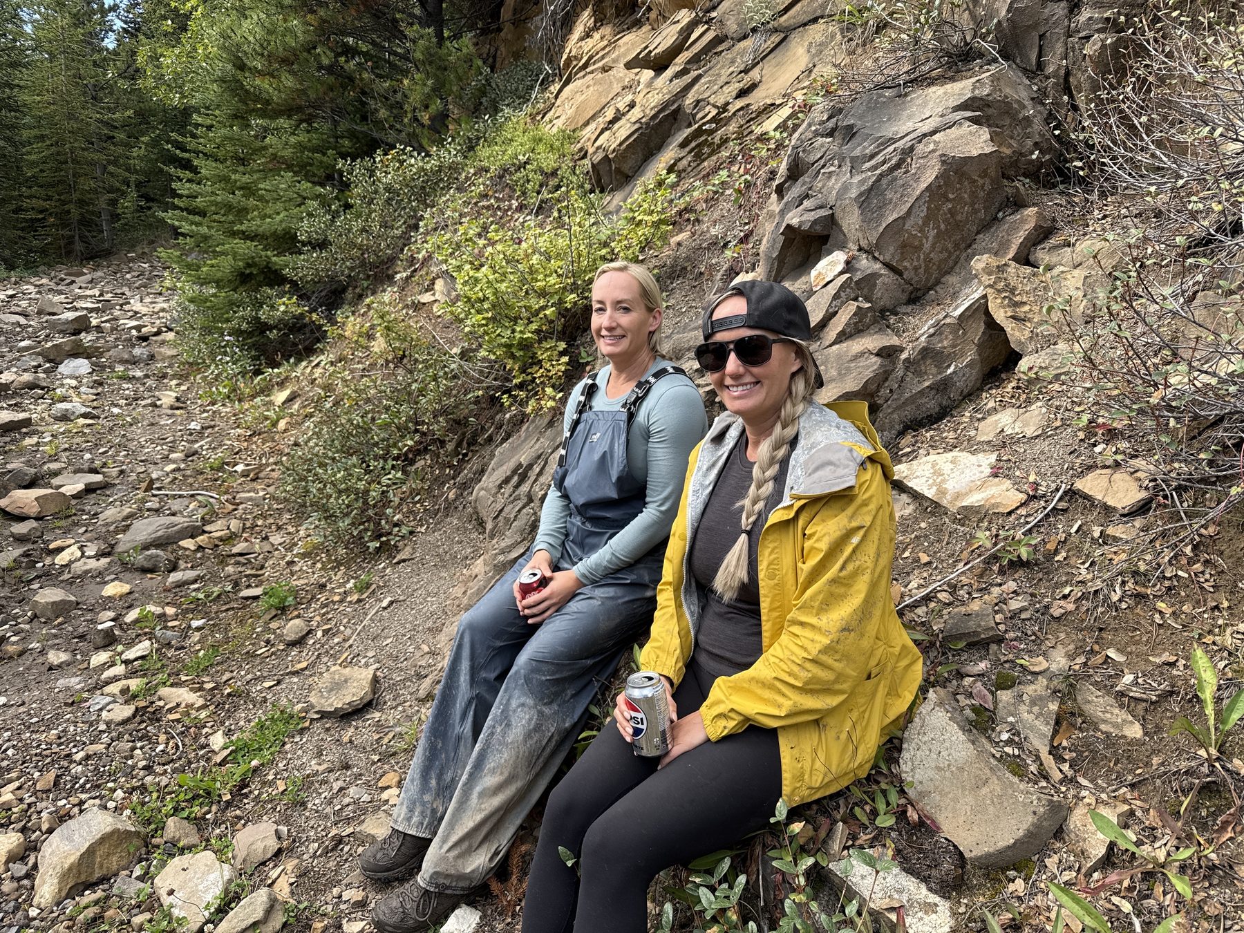
Kakwa means porcupine in Cree. The park was set aside in 1996 and covers about 650 km² of forested valleys, clear creeks, kettle lakes, and high ridges, with Kakwa Mountain, La Creche Mountain, and Mount May among its peaks. Together with Willmore Wilderness Park and BC’s Kakwa Provincial Park it forms the Kakwa-Willmore Interprovincial Park, the first park shared by Alberta and British Columbia.
Indigenous families from the Jasper area were the first to live and trap in the Kakwa and Two Lakes country. Trappers and outfitters from around Grande Prairie found it in the 1930s, and Peace Country riders, hunters, and campers have used it ever since. A 2002 folk history project recorded their stories, and the tapes are kept at the Grande Prairie Museum.
The park is home to at least 450 plant species, 30 of them rare in Alberta, with 300-year-old Engelmann spruce in its high southern valleys.
Sources: Alberta Parks Kakwa brochure (2007), Alberta Parks, Wikipedia, Kakwa Wildland Provincial Park.
Visit Kakwa on Alberta Parks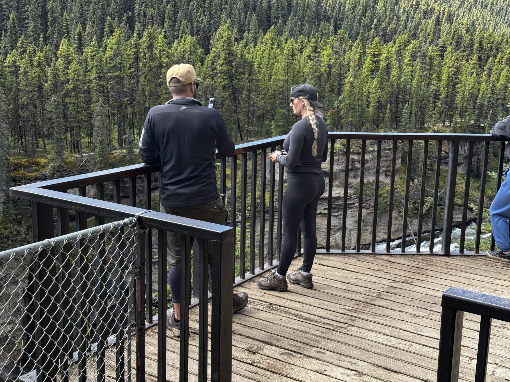
Three nights at Sherman Meadow with Stacie’s twin sister Shelly and her boyfriend Nick: a rainy first ride, the falls, and Horn Ridge.
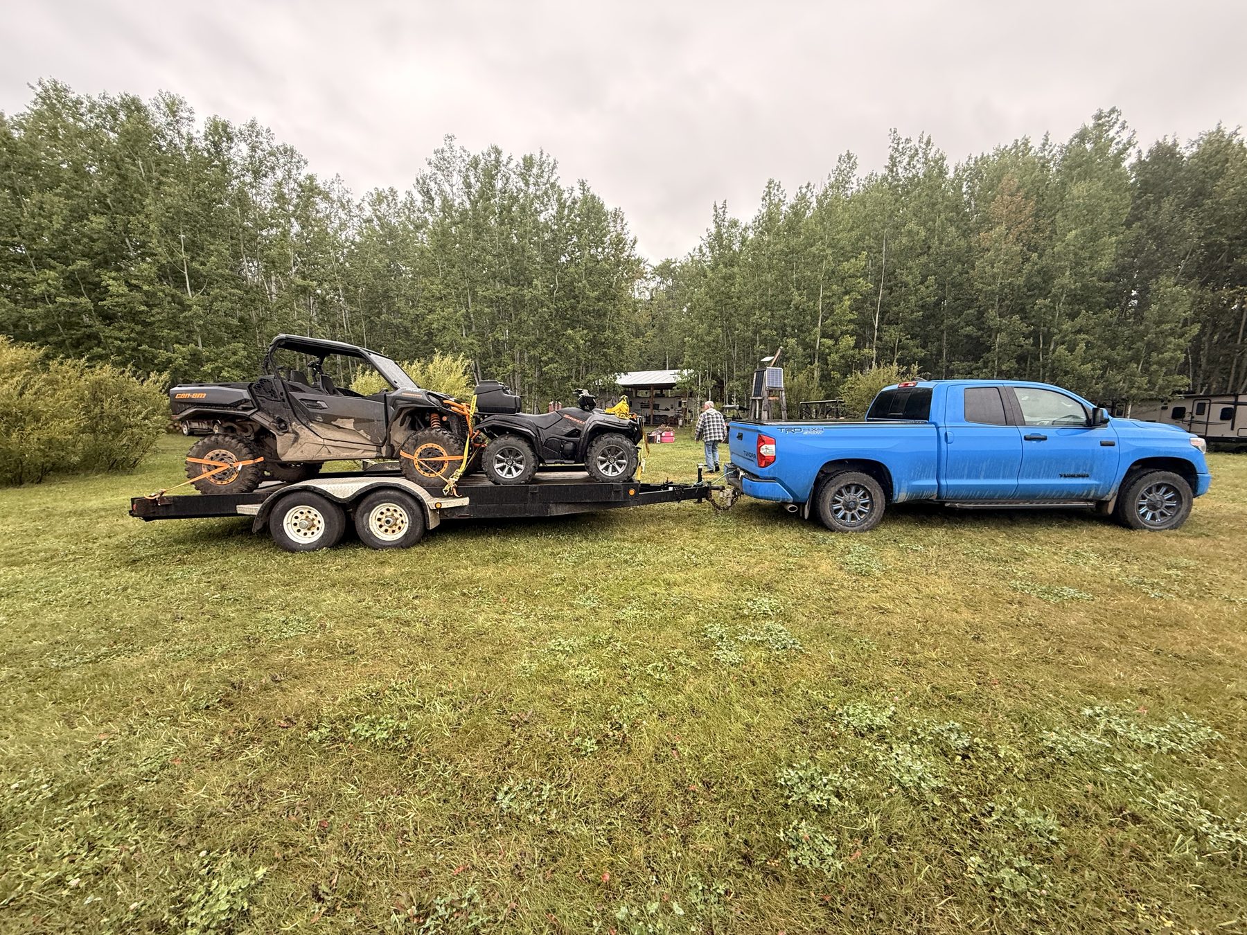
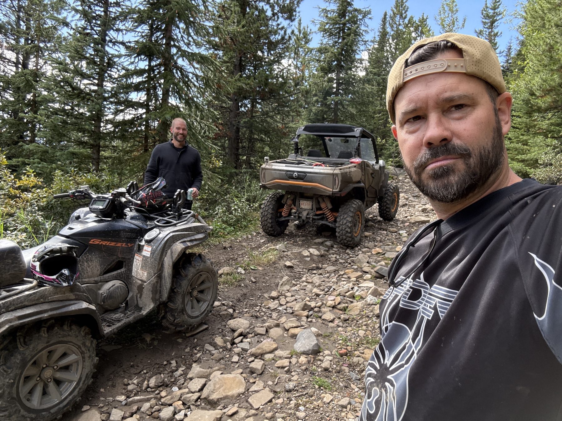
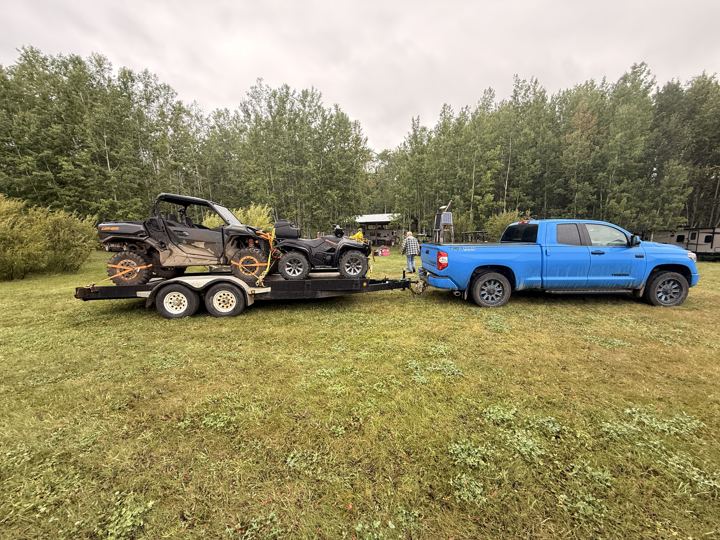
We left the Jumping Jack trailer at home for this one. The Tundra hauled our Can-Am Commander and Nick’s quad on a long flat deck, and we bunked in the travel trailer with Shelly and Nick. We rolled into Sherman Meadow on Thursday evening and set up camp.
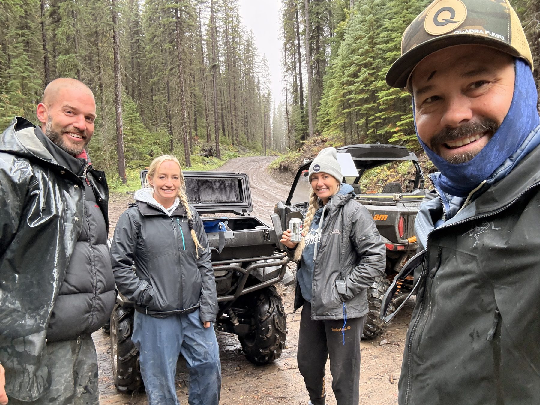
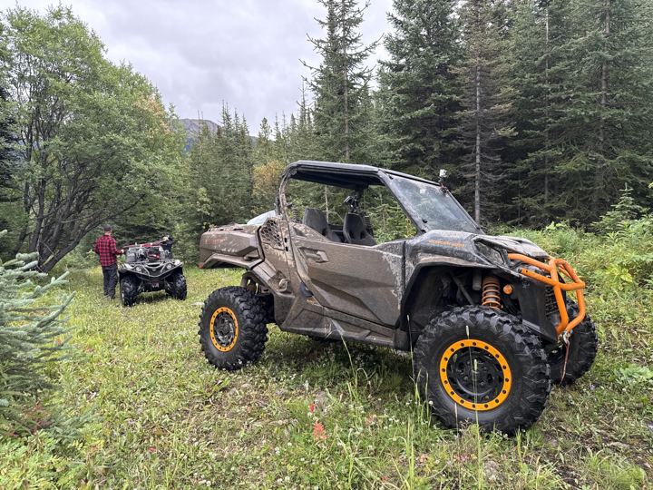
It rained. We waited out the worst of it in the travel trailer, then suited up in rain gear in the afternoon and rode 10.6 km out to the rig mat crossing and back: 21 km of wet, muddy trail to get a feel for it.
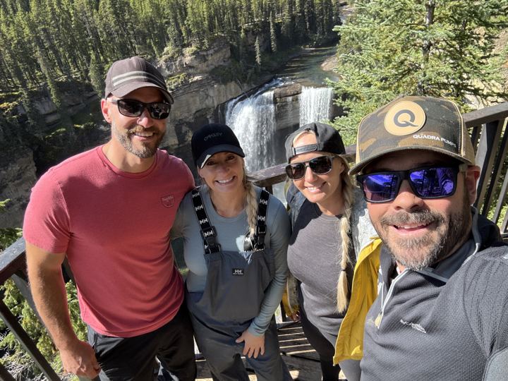
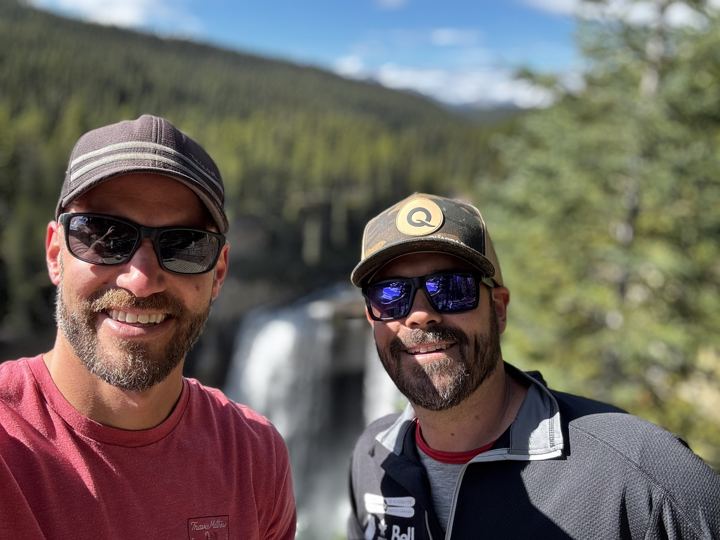
The main event, in sunshine. We stopped at Deadhorse Meadows just before 1 p.m., parked in the packed, muddy day use lot about half an hour later, and were on the viewing deck just before 2 p.m. On the way back we found the Dream Micro-Overland Campsite and the open campsite at the Horn Ridge junction, then spent the evening at camp: 55 km for the day.
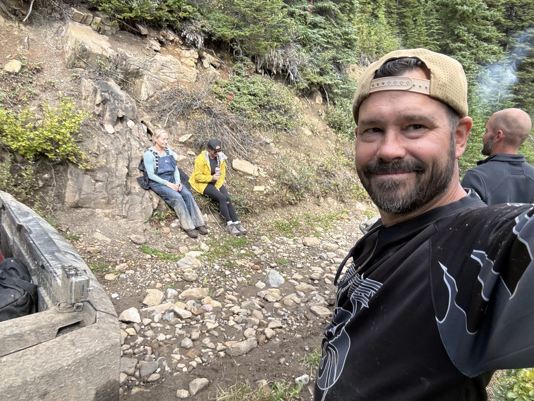
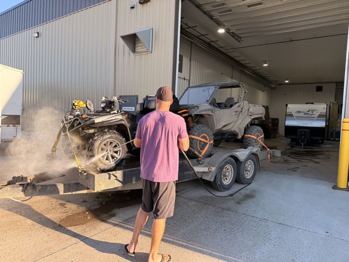
We rode up Horn Ridge from the junction and made it about halfway, to 1,680 m, before turning back: the trail got rougher than we were ready for, we had no tire patch kits, and one of our crew’s injured neck was getting sore. We stopped at Lick Creek on the ride back to camp, then drove home to wash off the Kakwa mud.
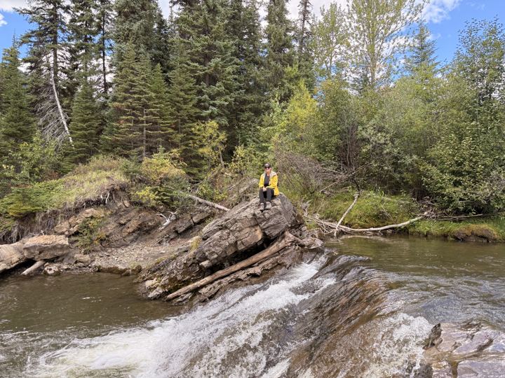
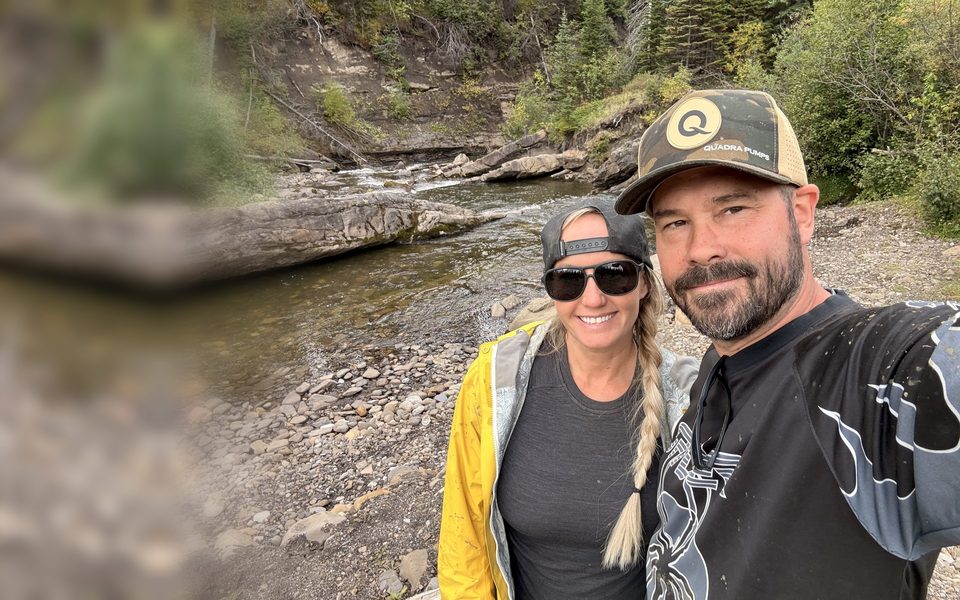
Clear water over rock ledges beside the Lick Creek bridge, 3.5 km from Sherman Meadow, where the 4x4 trail to the falls begins. We stopped here on Sunday, on the ride back from Horn Ridge.
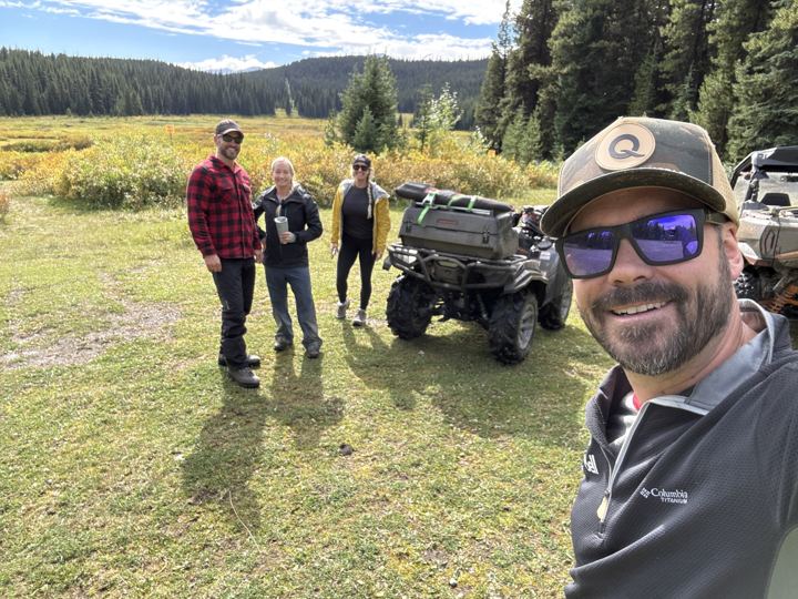
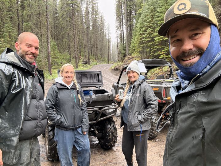
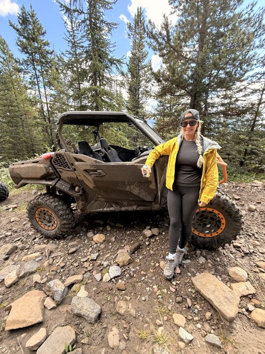
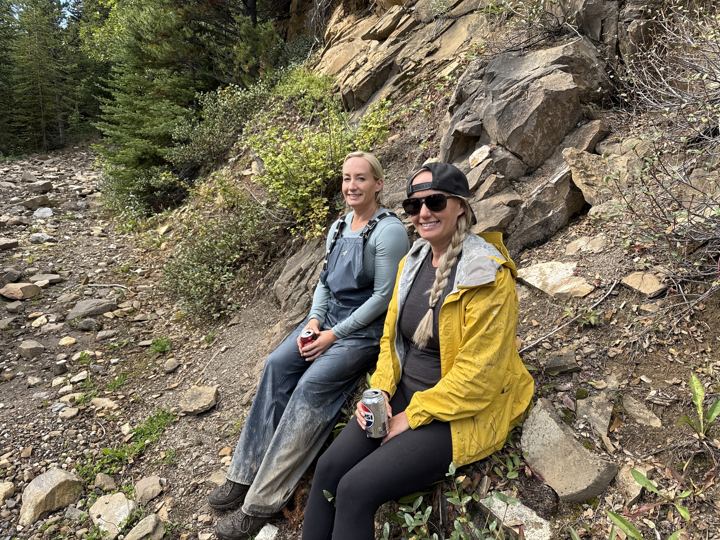
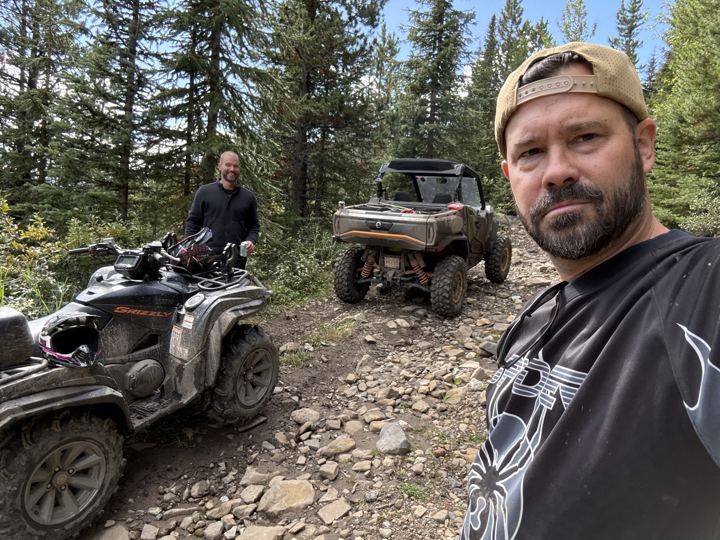
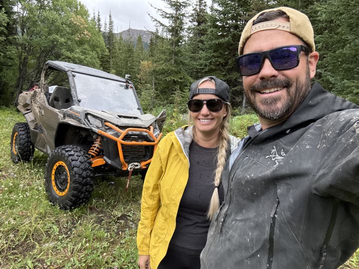
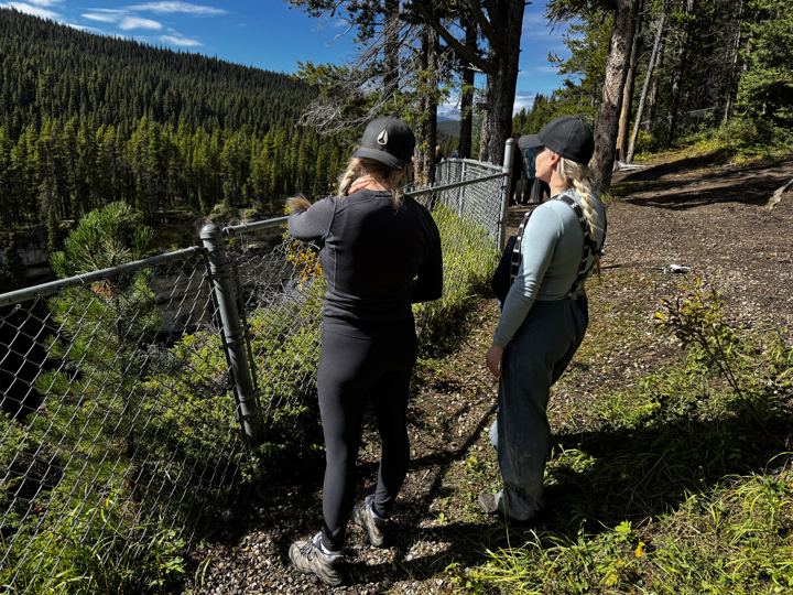
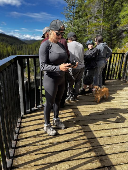
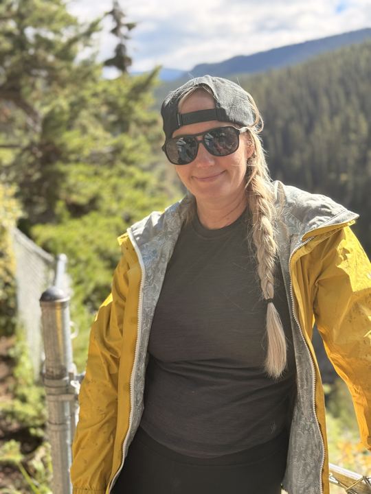
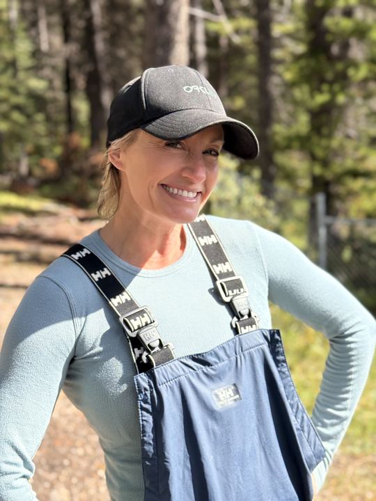
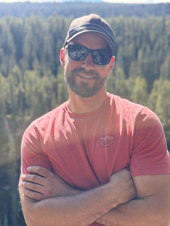
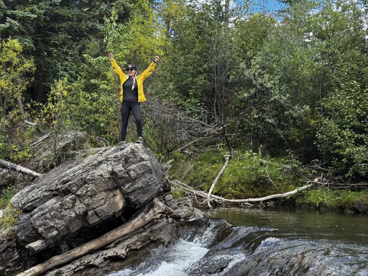
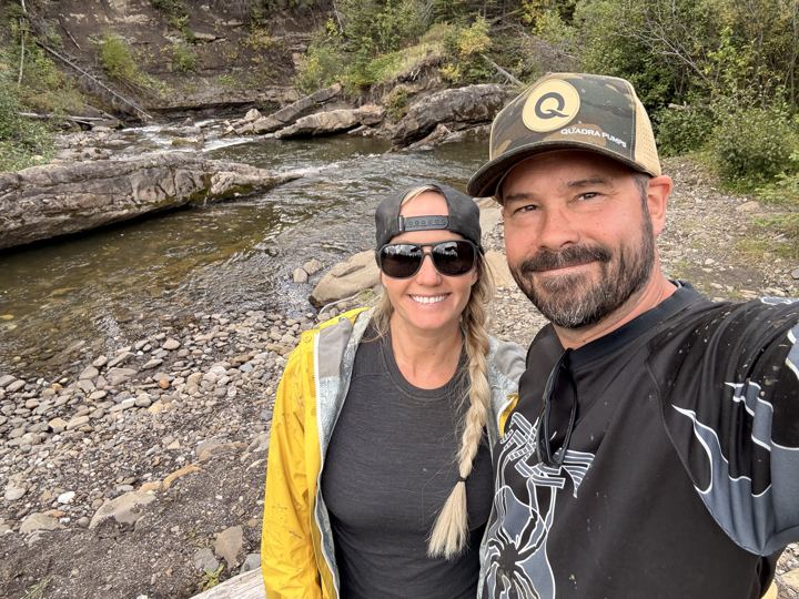
Our photos from Sherman Meadow, the trail, the falls, and Horn Ridge, September 2026. Select any photo to open it full size.
Not ours. These are other people’s videos of the same trail, shared because they show the falls and the ride in well. All credit to the creators; please subscribe to their channels.
By Ron PATRICK Quad ADVENTURES on YouTube
By MIKES OFF-ROAD NATION on YouTube
By Velocity Video on YouTube
Videos from other creators are embedded from YouTube and remain the property of their owners. Wild Latitude is not affiliated with these channels. Nothing loads from YouTube until you press play.
The sources we used to plan, plus the maps we would download before losing signal.
 Alberta Parks: Kakwa Wildland Provincial ParkPark overview, maps, and the regulations brochureAlberta Parks: Kakwa Recreation and AccessOff-highway vehicle rules, staging areas, and road accessAlberta Parks: Kakwa Falls Day Use AreaParking, facilities, and the 1.2 km viewpoint trail
 Public Lands Camping PassNeeded to camp on public land, including Sherman Meadow
 Our Kakwa Falls and Horn Ridge GPXOur three tracks and nine waypoints, September 4 to 6, 2026Two Lakes and Kakwa Corridor Map (PDF)Alberta Parks map with Sherman Meadow, Lick Creek, and the fallsKakwa Trails and Camping Map (PDF)Alberta Parks map of park trails and camping
 Backroad Mapbooks: Kakwa Falls MapDestination map for Kakwa Falls and the park
 Google MapsDirections to the Kakwa Falls day use area
Kakwa Falls is in Kakwa Wildland Provincial Park, near the British Columbia border south-west of Grande Prairie, Alberta. Alberta Parks puts the falls day use area 168 km from Grande Prairie by Highway 40, Highway 666, and the Two Lakes Road.
Kakwa Falls is 30 m high, the tallest waterfall in Alberta, according to Alberta Parks. The park has two other falls: Lower Kakwa Falls, east of the main falls, and Francis Peak Creek Falls.
On our GPS track it was 25.8 km from our camp at Sherman Meadow to the Kakwa Falls day use parking area, and 55 km for the round trip with a side trip to a campsite on the way back. From the parking area it is a 1.2 km walk to the viewpoint.
Only partway. Alberta Parks says the road past Lick Creek is for 4x4s and off-highway vehicles only, and that the last stretch from Deadhorse Meadows to the falls parking area is accessible only by quad. Expect creek crossings, mud, ruts, and rock ledges. We left the truck at Sherman Meadow and rode in on our side-by-side and a quad.
Yes. Sherman Meadow is a staging area on public land just outside the park. When we camped there for three nights it was wide open, with corrals and fire pits and lots of room for a travel trailer, but we did not see toilets or water. It sits inside Alberta's Public Lands Camping Pass area, so buy a pass before you go.
Yes, on the trail to the Kakwa Falls day use area only. Alberta Parks does not allow off-highway vehicles anywhere else in the park, and not on the 1.2 km walking trail from the parking area to the falls viewpoint.
Horn Ridge is an alpine ridge on the northern edge of Kakwa Wildland Provincial Park, about 9 km north of Kakwa Falls. The trail up it starts from a big open campsite on the Kakwa trail, 12.5 km from Sherman Meadow on our track. We climbed from about 1,330 m to 1,680 m in 3.3 km before turning back.
No. Alberta Parks says there is no cell phone reception in the park. Call Alberta Parks in Grande Prairie at 780-538-5350 for road conditions before you leave town.
Answers draw on Alberta Parks, the Alberta Parks Kakwa brochure, RidersWest, the Canadian Geographical Names Database, the Government of Alberta, and our own trip.
Trip stories, planning and gear posts from the Wild Latitude blog that cover Kakwa Falls.
 Trip Planning
Our First Season, and Where We're Headed Next
A look back at our first season in the Commander, and a map of the winter and summer trips we're planning next. Got ideas? We'd love to hear them.
 Trip Planning
6 Adventures Near Grande Prairie, Alberta
From the Dunes on the edge of town to alpine lakes in Tumbler Ridge: the six trips we have full guides for, how far they are, and who they suit.
Every trip we take gets its own guide. Start with the others in northwestern Alberta.
Call ahead for road conditions, download our GPX, pack a tire kit, and follow along for the next adventure.