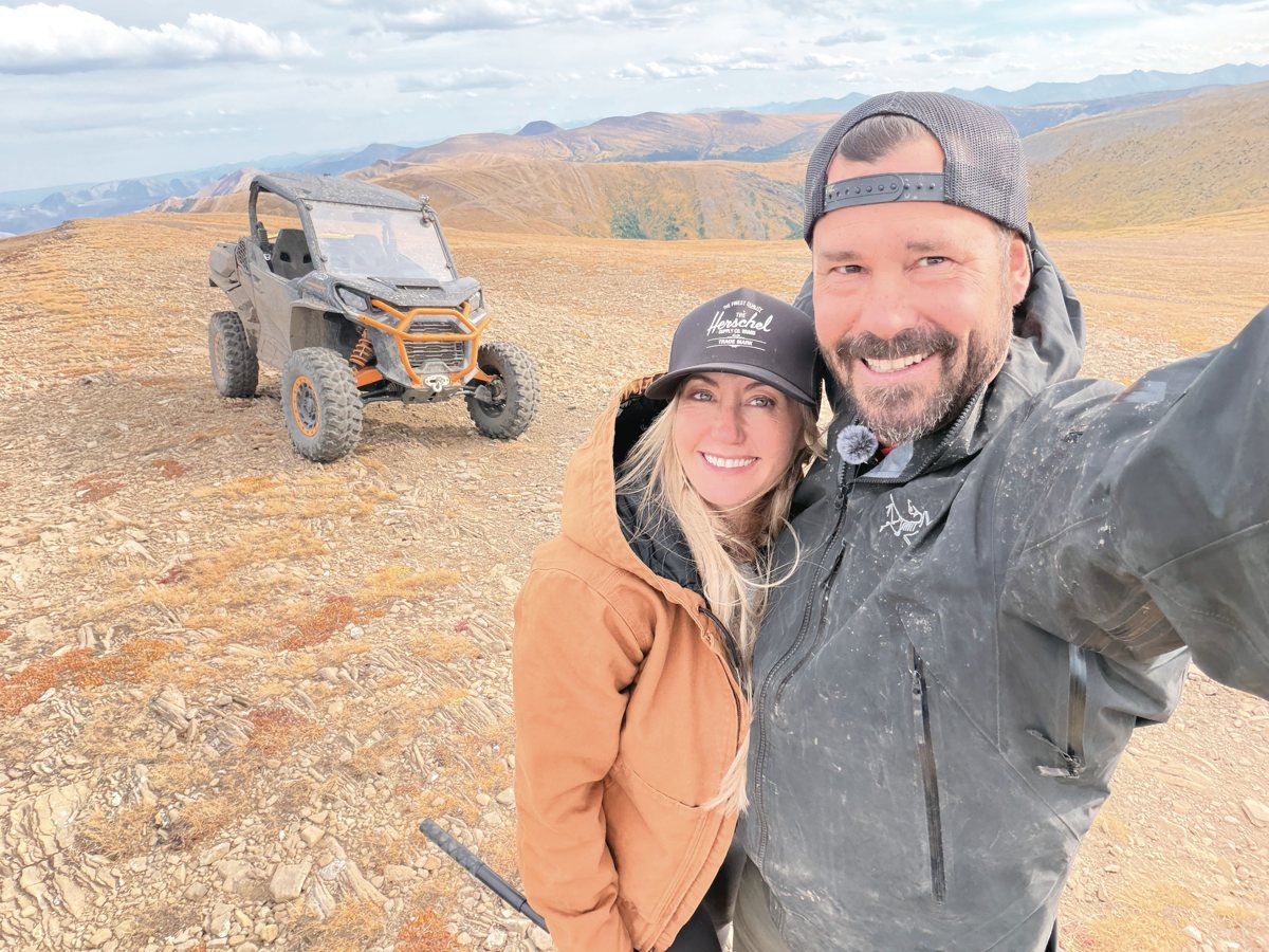
We Need a Bigger Winch Tree
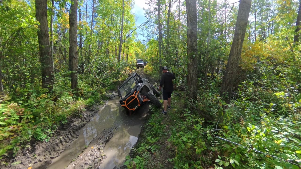
The first anchor tree was not up to the job. 14 sec, sound on.
The highest point west of Grande Prairie, with a viewpoint over the whole Peace Country and a web of trails through the aspen. Here is how to get there, where you can ride, the old radar base on top, and our photos and videos from two short rides in the Commander.
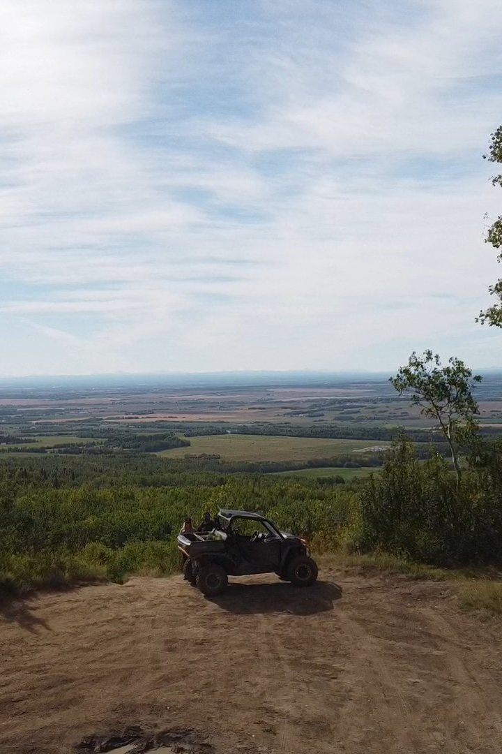
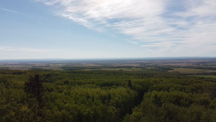
Saskatoon Mountain is a 150 m hill rising out of the farmland 30 km west of Grande Prairie, between Wembley and Beaverlodge. At 940 m it is the highest point west of the city, and from the top you can see the Peace Country laid out in every direction: forest, fields, rivers, and on a clear day the Rocky Mountains to the west.
It is a Provincial Recreation Area, day use only, with a small day use area on the plateau and a network of informal trails through the aspen and spruce. Off-highway vehicles are allowed on the west side of Range Road 92. It is about 45 minutes from our door in Grande Prairie, and only 15 minutes from our family campsite, which makes it an easy ride whenever we are out there.
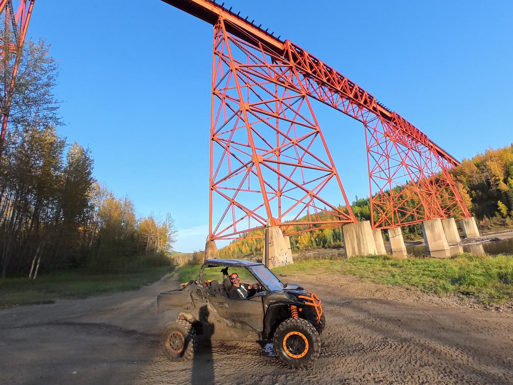
We have ridden it twice in the Commander: once with Ryan’s brother Norman and Ryan’s dad in their side-by-side, and once on our own. Both rides were quick and unplanned, about two hours each. We followed our own route up from Range Road 93 and a few routes we found on AllTrails, and it was still easy. We have barely touched the place. We will be back next summer to explore more of it, record our own tracks for you to use, and this guide will grow when we do.
Source: Alberta Parks, Saskatoon Mountain PRA (atv / quad, hiking, nordic skiing / snowshoeing, wildlife), County of Grande Prairie, Saskatoon Mountain plan (2012) (heritage & history).
Sources: Alberta Parks, Saskatoon Mountain PRA and the County of Grande Prairie’s Saskatoon Mountain plan (2012). Alberta Parks gives the distance from the city as 30 km and 32 km on the same page, and calls it a 70 m hill; the county plan and the province’s reclassification FAQ say 150 m.
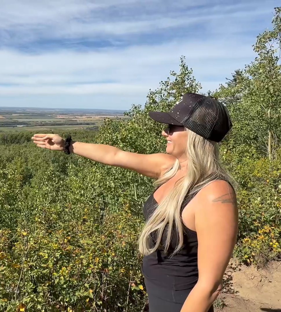
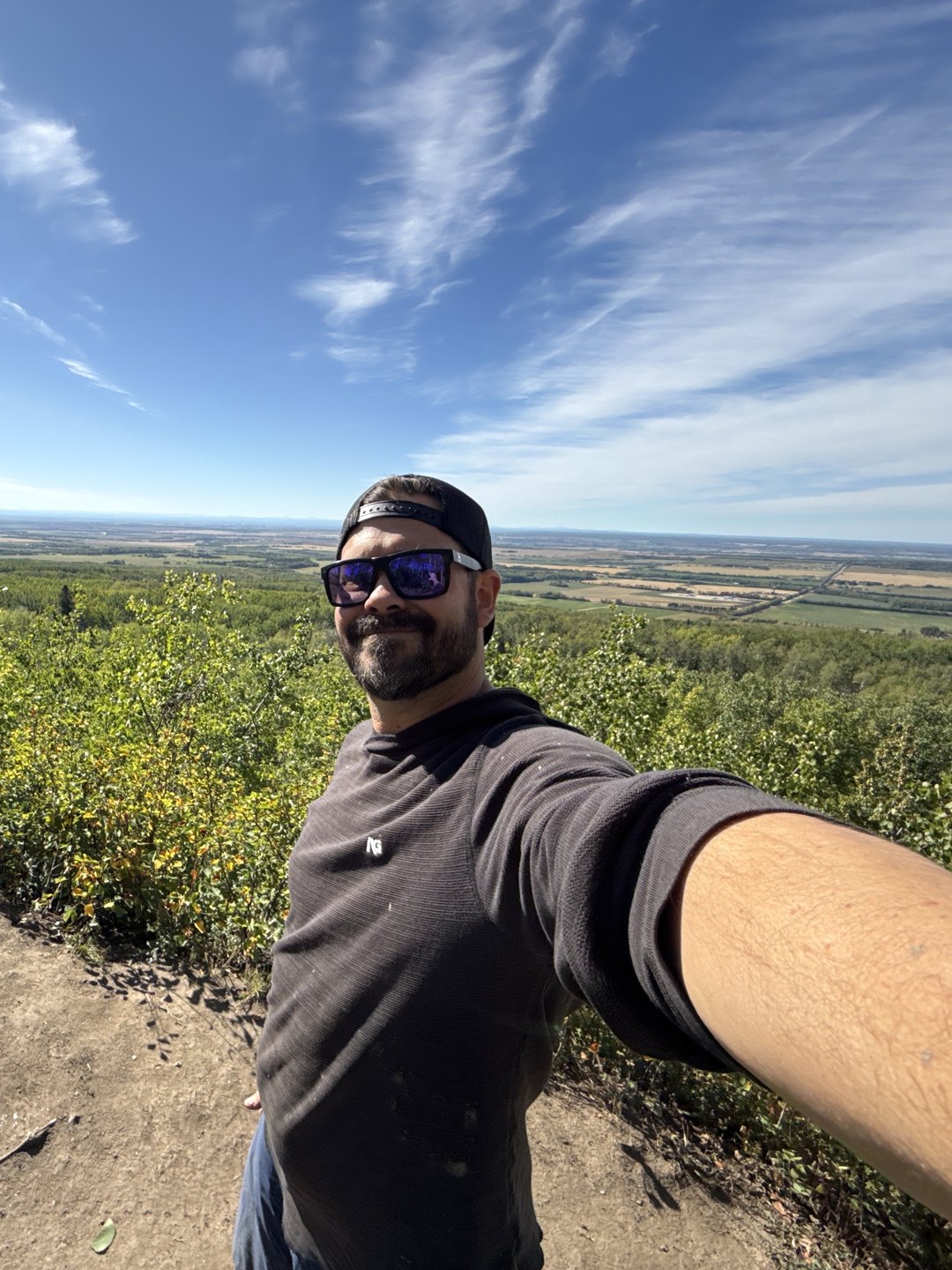
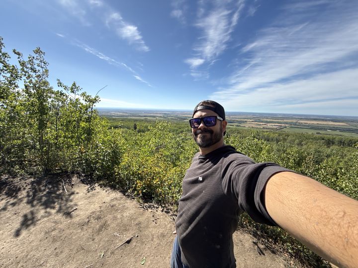
From the viewpoint you look straight across the valley to where Stacie grew up. In this video she points out her brother’s land, the family farm she grew up on near Beaverlodge, then the camera follows the farmland west to the Rocky Mountains on the horizon. So Saskatoon Mountain is not only a handy spot for a quick side-by-side ride. It is literally Stacie’s backyard.
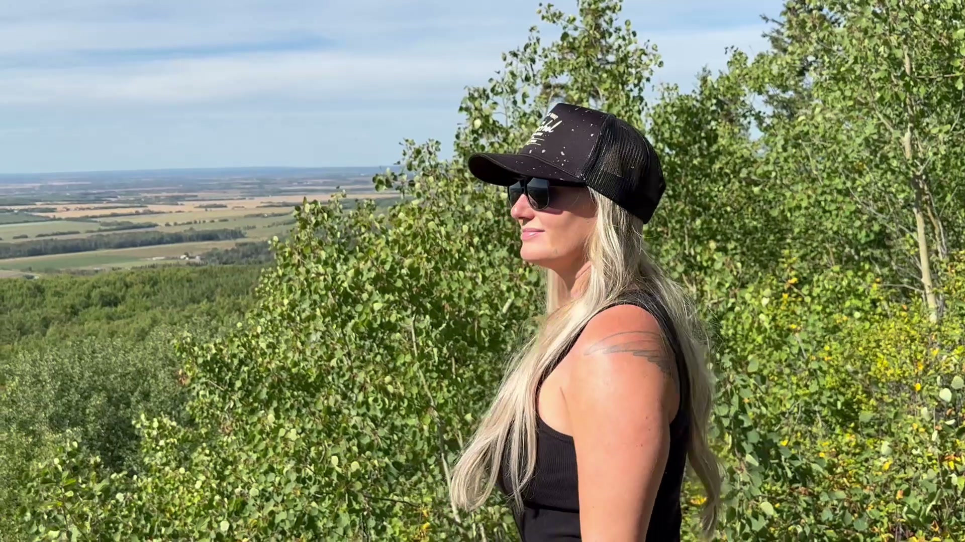

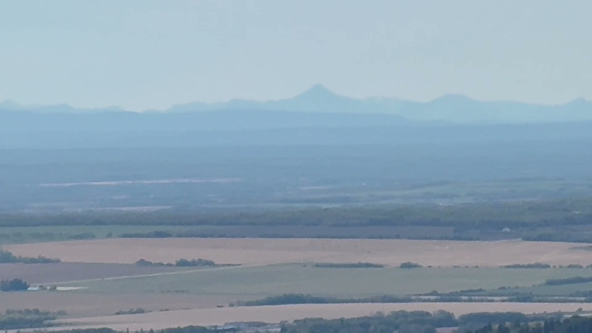
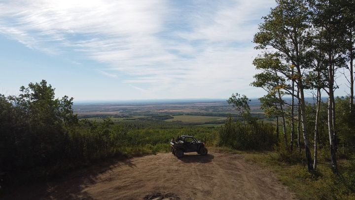
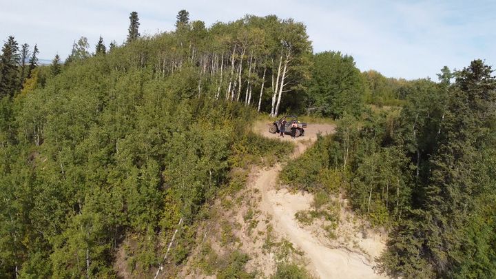
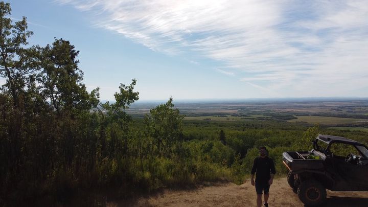
The plateau ends at a sandy clearing on the edge of the hill. Park the machine, and the whole Peace Country is spread out below you.
Get DirectionsA paved road runs all the way to the day use area on top, so any vehicle can get you to the viewpoint. Call Alberta Parks Grande Prairie at 780-538-5350 for current conditions.
Directions from the County of Grande Prairie plan (2012) and the Town of Beaverlodge. OHV rule from Alberta Parks.
There is no single route here. Old ski trails, cutlines, and power line rights-of-way criss-cross the hill, most of them on the west side. Here is our route from Range Road 93, three public AllTrails routes we also followed, and the rules for riding them.
Our route, which we mapped and shared on AllTrails for others to use. The longest of the four, with about 140 m of climbing. It starts low on the south side, off Range Road 93, and winds up wide doubletrack through aspen and spruce to the plateau and the viewpoint before looping back down. Unmarked side trails branch off everywhere, so download our GPX or carry an offline map.
An out and back from the plateau down the west and south-west slopes, the steepest side of the hill, with 99 m of climbing on the way back up. AllTrails rates it easy.
The flattest of the four, with 63 m of climbing. It starts on Range Road 92 at the east edge and runs west across the hill to the plateau, mostly on its own trails. Stay on the west side of Range Road 92 when you ride.
A shorter loop from the south edge of the plateau, with 87 m of climbing, sharing parts of the longer routes.
The trails are a mix of old Nordic ski trails cut by the radar base crews, service rights-of-way, and cutlines. None is formally maintained. They are shared by riders, hikers, skiers, mountain bikers, horseback riders, and dog walkers, and the steep slopes erode quickly, so ride slowly and stay on the trail.
In our two rides we covered a small part of the hill. There is a lot more terrain out here that we have not seen yet. Next summer we plan to explore it and record our own tracks to share here.
Our route measured from our own GPX. Lengths, climbs, and ratings for the others from AllTrails: From RR93, Saskatoon Mountain Trails, Loop from RR92, and Short Loop. Trail history and use from the County of Grande Prairie plan (2012); OHV rule from Alberta Parks.
Our route from Range Road 93 and three public AllTrails routes, all meeting on the plateau by the viewpoint. Download our GPX, or open any route in AllTrails and save it for offline use before you lose signal.
Our route from Range Road 93, which we mapped and shared on AllTrails: a 7.1 km loop on the south side of the hill, climbing about 140 m through aspen and spruce to the plateau and the viewpoint, then back down. Download the GPX to follow the same line.
Saskatoon Mountain Trails on AllTrails: 4.8 km out and back with 99 m of climbing, rated easy.
Saskatoon Mountain Loop from RR92 on AllTrails: a 4.3 km loop with 63 m of climbing, starting from Range Road 92 on the east side.
Saskatoon Mountain Short Loop on AllTrails: a 3.7 km loop with 87 m of climbing.
Sources: Alberta Parks, Saskatoon Mountain PRA and the Alberta Parks reclassification FAQ.
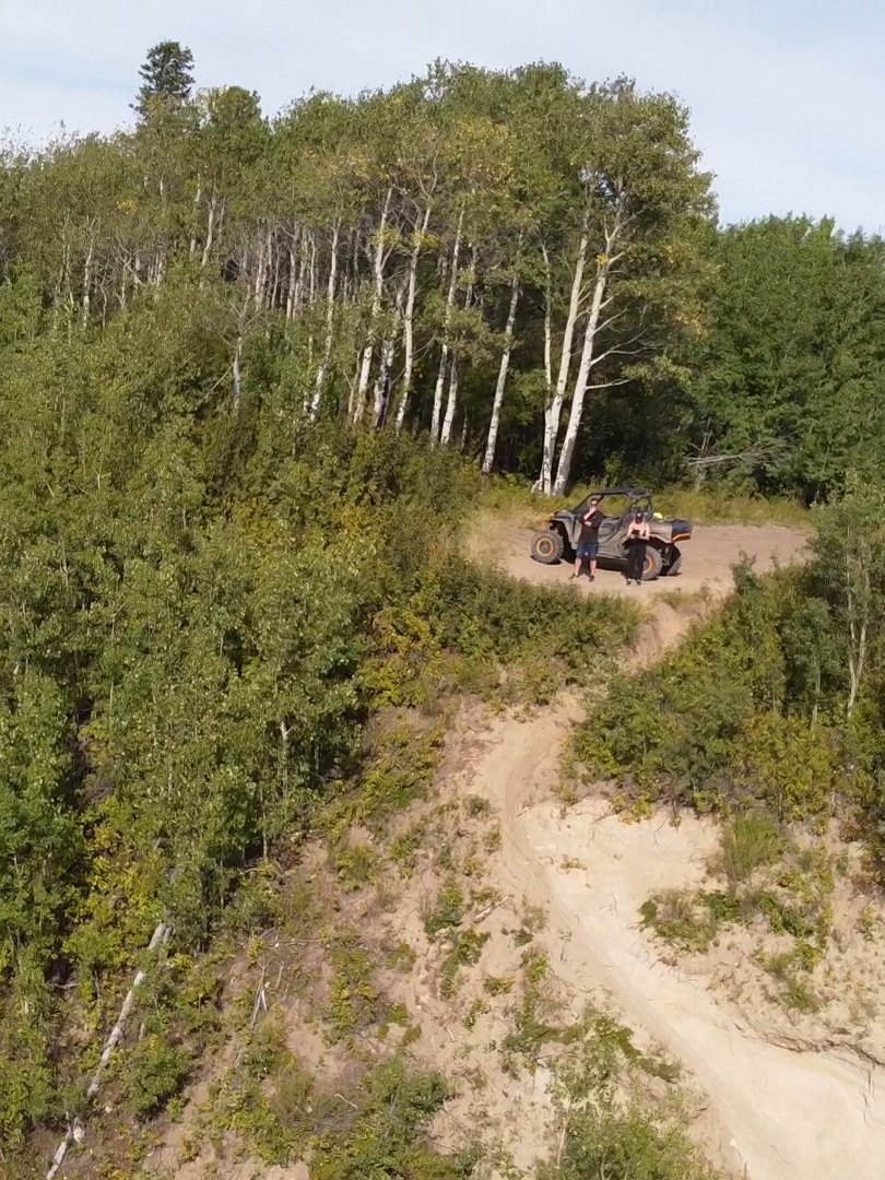
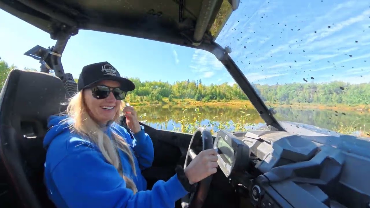
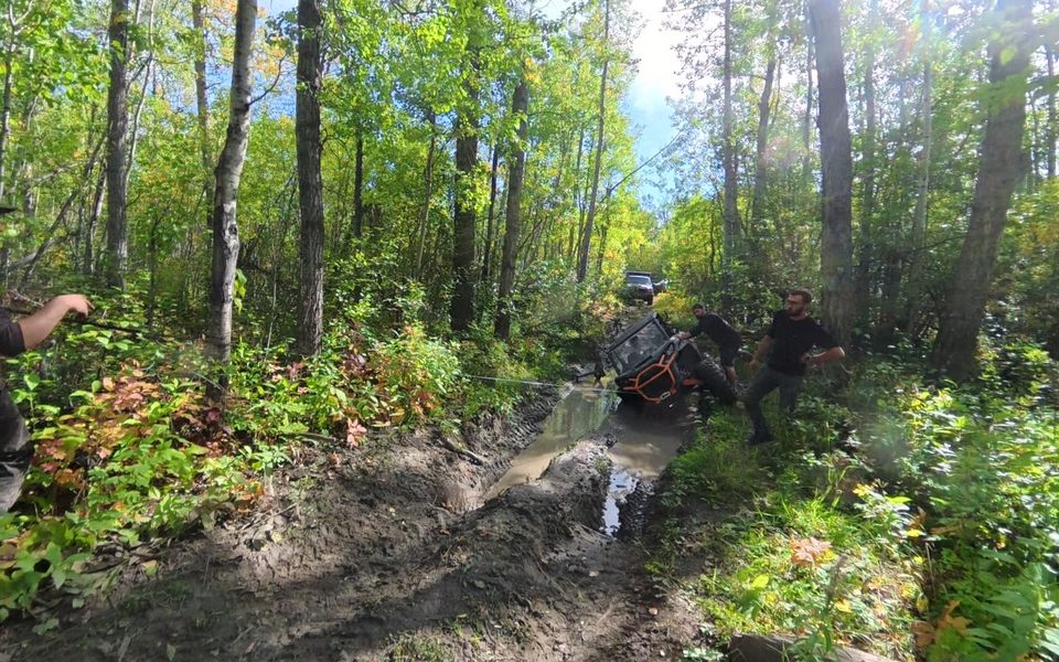
On one of our rides we tipped the Commander into a deep mud hole on a trail through the aspen. Some new friends stopped, hooked up a winch, and pulled us back out. It is the best argument we know for riding these trails with a second machine and a winch.
The first anchor tree was not up to the job. 14 sec, sound on.
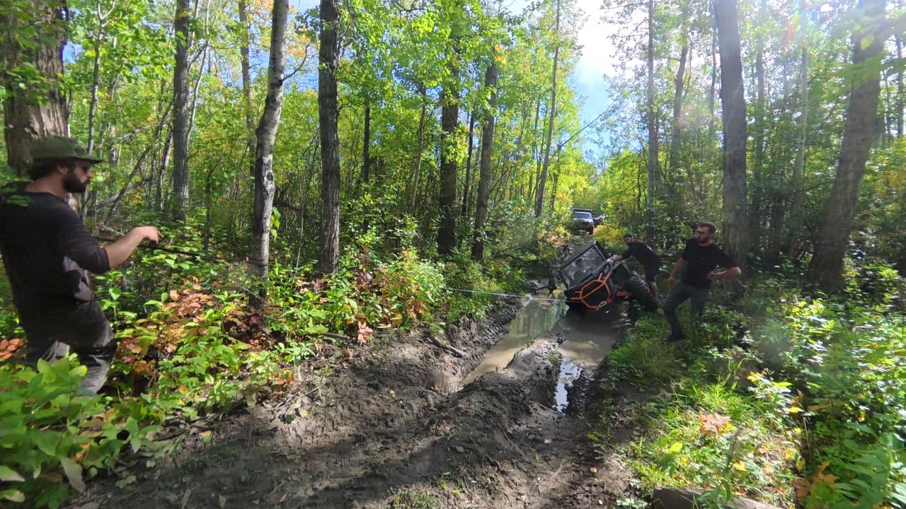
Rigging the winch to pull the Commander back onto its wheels. 1 min 31 sec, sound on.
Weather, fire bans, and road conditions change quickly. These official sources open straight to the right place, so check them the day you head out.
 Forecast at Saskatoon MountainHour-by-hour Environment Canada model forecast for the top of Saskatoon Mountain, via SpotWX.
 Beaverlodge forecast and alertsThe official 7-day forecast for Beaverlodge, with any active weather warnings.Weather alerts mapEvery active Environment Canada warning and advisory, on a map.
Two short rides in the Commander, once with Ryan’s brother Norman and Ryan’s dad in their side-by-side and once on our own, and both turned into more than a quick rip around the hill.
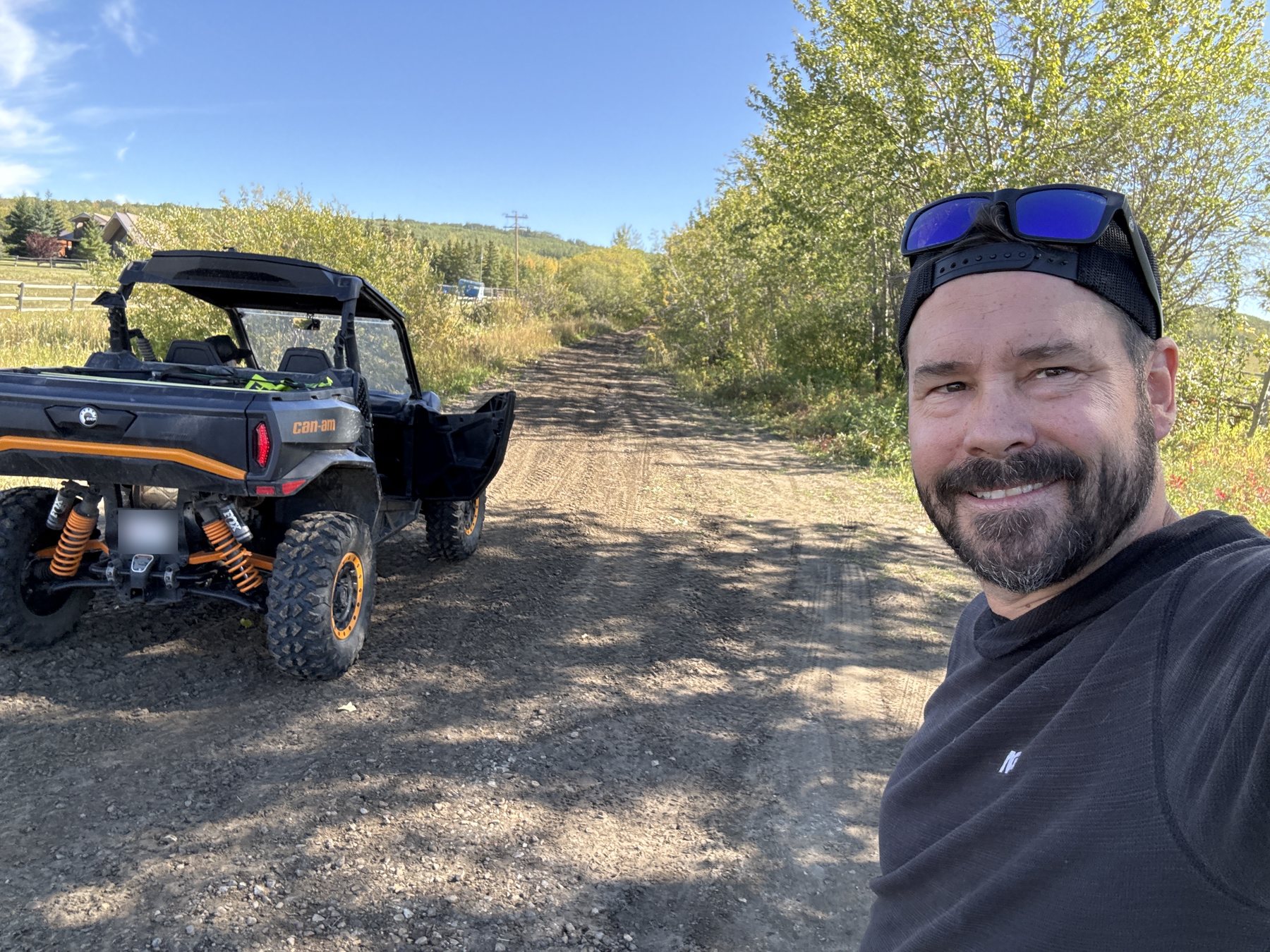
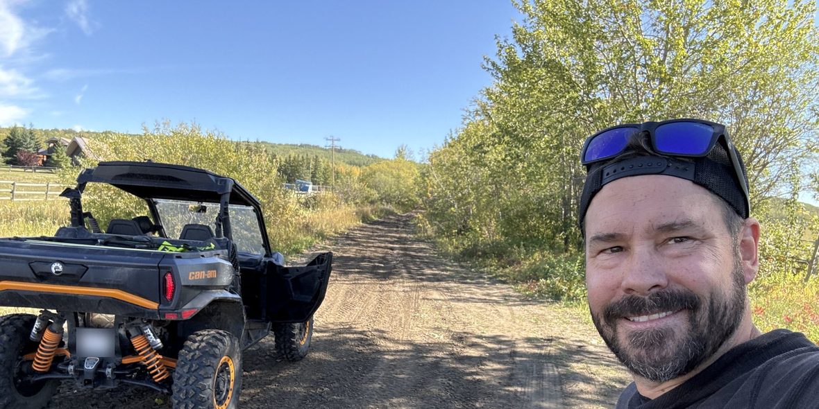
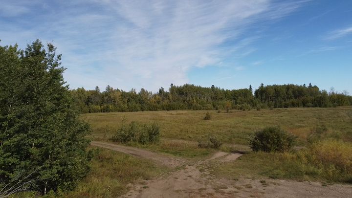
We unloaded at the trailhead off Range Road 93 on the south side of the hill and followed our route up through the aspen and spruce toward the plateau.
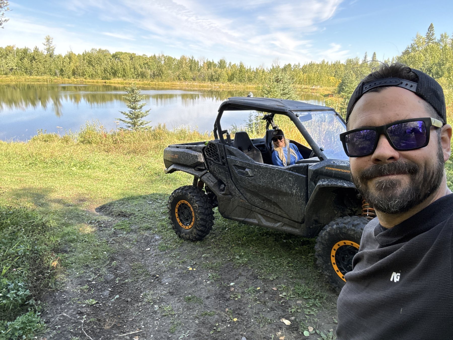
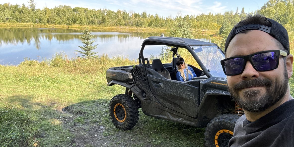
Partway up, the trail opens onto a quiet pond ringed with spruce. It is a beautiful spot, and a great place to stop for a picnic.
It is also where Ryan took Stacie on their very first date. Of course our first date was an outdoor adventure.
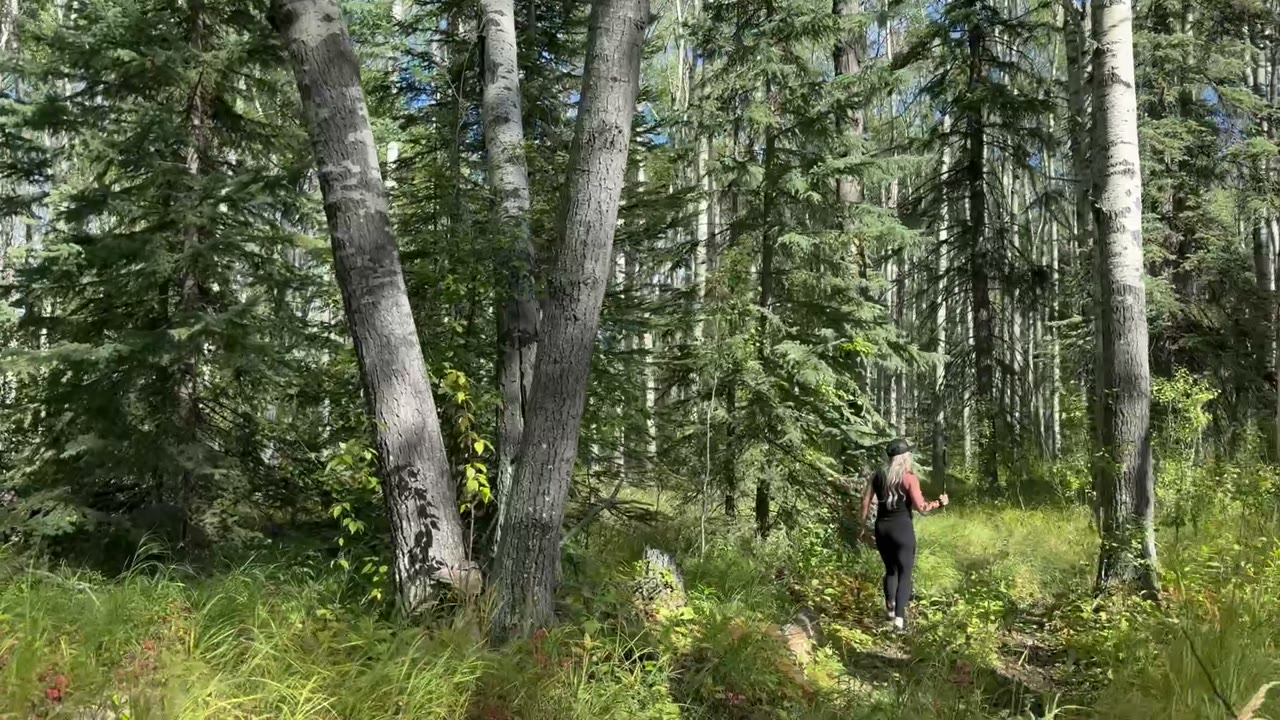
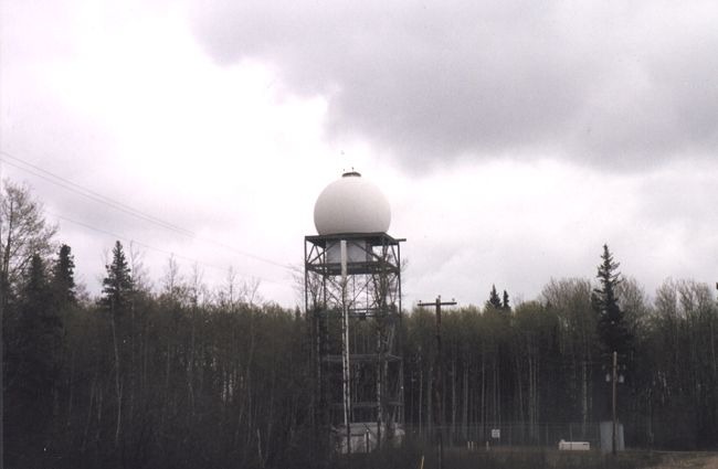
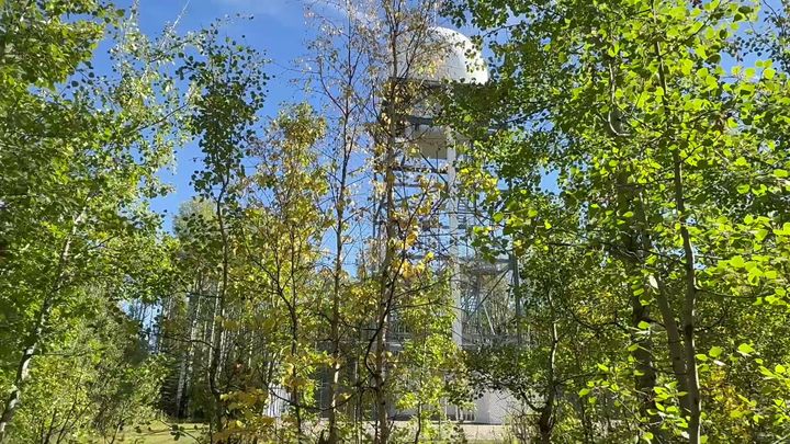
Growing up near Beaverlodge, Stacie and her twin sister Shelly could see a big white dome on top of Saskatoon Mountain from their house. They were sure it was Disneyland. It was really the radar station from the Cold War.
All these years later we were right beside it, so we left the Commander and headed into the bush to find it, like two kids sneaking into Disneyland. The white dome still stands on its tower, on a small parcel of federal land next to the recreation area, so enjoy it from the trees.
Press play and part 2 starts on its own when part 1 ends.
In 1952 the United States Air Force built a radar base on the summit, part of the Pinetree Line, and closed the hill to the public. It was handed to Canada in 1963 as Canadian Forces Station Beaverlodge, and at its busiest about 70 buildings stood on top. The crews cut hiking and cross-country ski trails, some of which are still the trails you ride today.
The base closed for good in August 1988. The next year the buildings were removed and the ground seeded with grass. Saskatoon Mountain became a Natural Area in 1995 and a Provincial Recreation Area in 2018. The radar tower and its white dome still stand on a small parcel of federal land beside the recreation area. Alberta Parks calls it a Doppler radar station. It is the dome Stacie and Shelly could see from home as kids, and thought was Disneyland (see Sneaking Into Disneyland).
The hill’s story goes back much further. It was one of the first places in the area to come out from under the ice at the end of the last glaciation, and archaeologists have found stone tools below charcoal dated to 8,000 years ago. The Beaver First Nation hunted and gathered here, and homesteaders farmed the slopes in the early 1900s.
Sources: Pinetree Line archive, Beaverlodge, County of Grande Prairie plan (2012), Alberta Parks reclassification FAQ, Alberta Parks, and the Town of Beaverlodge. The FAQ dates the radar station from 1950; the county plan and Beaverlodge say 1952.
Read the Beaverlodge History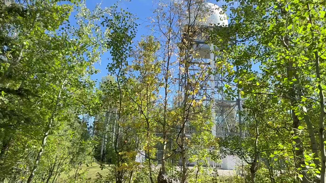 1 / 2
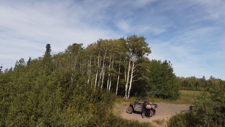
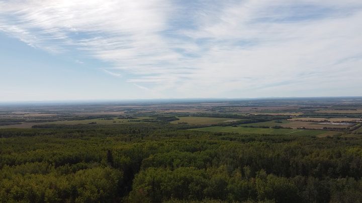
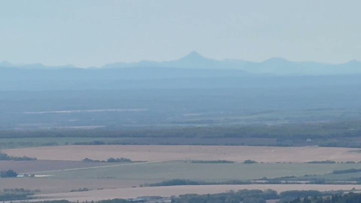
Our photos from the trailhead, the pond, and the viewpoint, with stills from our drone. Select any photo to open it full size.
The sources we used to plan, our route as a GPX file, and the AllTrails routes we followed.
 Saskatoon Mountain Plan (PDF)County of Grande Prairie, 2012: maps of the trails, viewpoints, and day use site
 Our GPX Route: From RR93Our 7.1 km loop from Range Road 93 to the plateau and viewpoint
 Our Route on AllTrails: From RR93The 7.1 km loop we mapped and shared, with map and reviewsAllTrails: Saskatoon Mountain Trails4.8 km out and back, map and recent reviewsAllTrails: Loop from RR924.3 km loop from Range Road 92, map and recent reviewsAllTrails: Short Loop3.7 km loop, map and recent reviews
Saskatoon Mountain is about 30 km west of Grande Prairie, Alberta, between Wembley and Beaverlodge, in the County of Grande Prairie No. 1. Turn north off Highway 43 onto Range Road 92 and follow the paved access road to the day use area on top.
The top is 940 m above sea level, the highest point west of Grande Prairie. The hill rises about 150 m above the farmland around it, according to Alberta Parks and the County of Grande Prairie.
Yes, on the west side only. Alberta Parks restricts off-highway vehicles to the area west of Range Road 92. The trails are informal and not maintained, so stay on existing trails; the slopes erode easily.
No. Saskatoon Mountain Provincial Recreation Area is day use only. The day use area has a small parking lot, picnic tables, fire pits, and an outhouse.
The Peace Country spread out below: forest, farmland, rivers, and foothills, and on a clear day the Rocky Mountains to the west. There are two viewpoints on the mountain.
Yes, on a clear day. From the viewpoint the Peace Country farmland runs west to the Rocky Mountains on the horizon. Alberta Parks lists views of the Rockies from both viewpoints.
A radar tower with a white dome, on a small parcel of federal land beside the recreation area, where the Cold War radar station stood. Alberta Parks calls it a Doppler radar station. It is not part of the recreation area. The radar base itself closed in 1988.
Yes. The United States Air Force built a radar base on the summit in 1952. It became Canadian Forces Station Beaverlodge in 1963 and closed for good in August 1988. The buildings were removed and the land reclaimed in 1989.
Yes, with primitive weapons only (shotgun, muzzleloader, or bow) and a firearm discharge permit from Alberta Parks. Target shooting is not allowed. Wear bright colours in the fall.
Alberta Parks lists more than 50 bird species and 30 butterfly species, with moose, mule deer, black bears, cougars, coyotes, and snowshoe hares.
Answers draw on Alberta Parks, the reclassification FAQ, the County of Grande Prairie plan (2012), and the Town of Beaverlodge.
Two short rides, and most of the hill still to see. We will be back in summer 2027 to explore the rest, and we will add what we find here.
Trip stories, planning and gear posts from the Wild Latitude blog that cover Saskatoon Mountain.
 Trip Stories
Stuck on Saskatoon Mountain
We tipped the Commander into a deep mud hole on a Saskatoon Mountain trail. How some new friends and a winch got us out, and what we carry for recovery.
 Trip Planning
6 Adventures Near Grande Prairie, Alberta
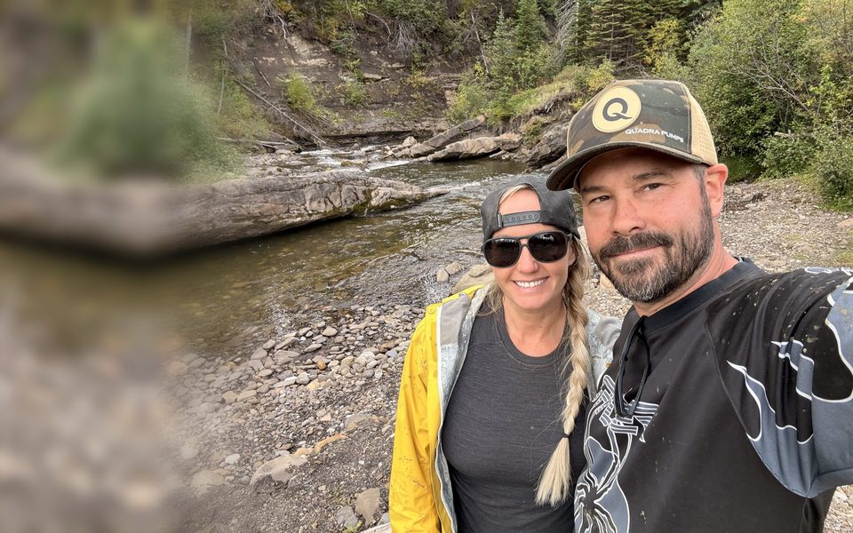
From the Dunes on the edge of town to alpine lakes in Tumbler Ridge: the six trips we have full guides for, how far they are, and who they suit.
 Our Story
Why We Started Wild Latitude
Two entrepreneurs, two provinces, and an office that comes along. Who we are, why we started Wild Latitude, and what you will find here.
Every trip we take gets its own guide. Start with the others around Grande Prairie.
Check the conditions, download our route, stay west of Range Road 92, and save some time for the view.