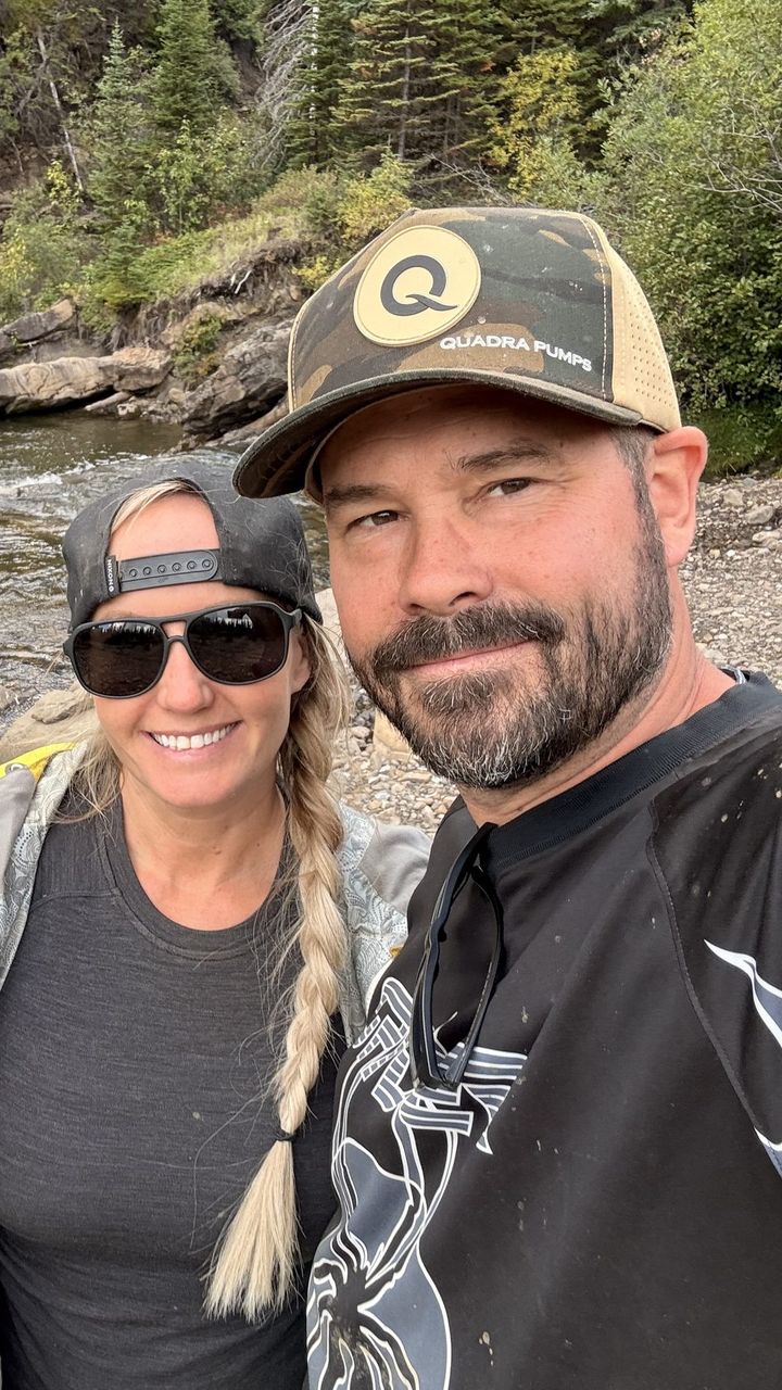
You don’t have to go far from Grande Prairie to find real backcountry. Here are the six trips we’ve written full guides for so far, starting minutes from town and working out to Tumbler Ridge, just over the BC line.
Each one links to its full adventure guide, with how to get there, the route and maps, where to camp, what to know before you go, and our own photos and videos. For the big picture, see Our Backyard.
1. The Dunes, Grande Prairie
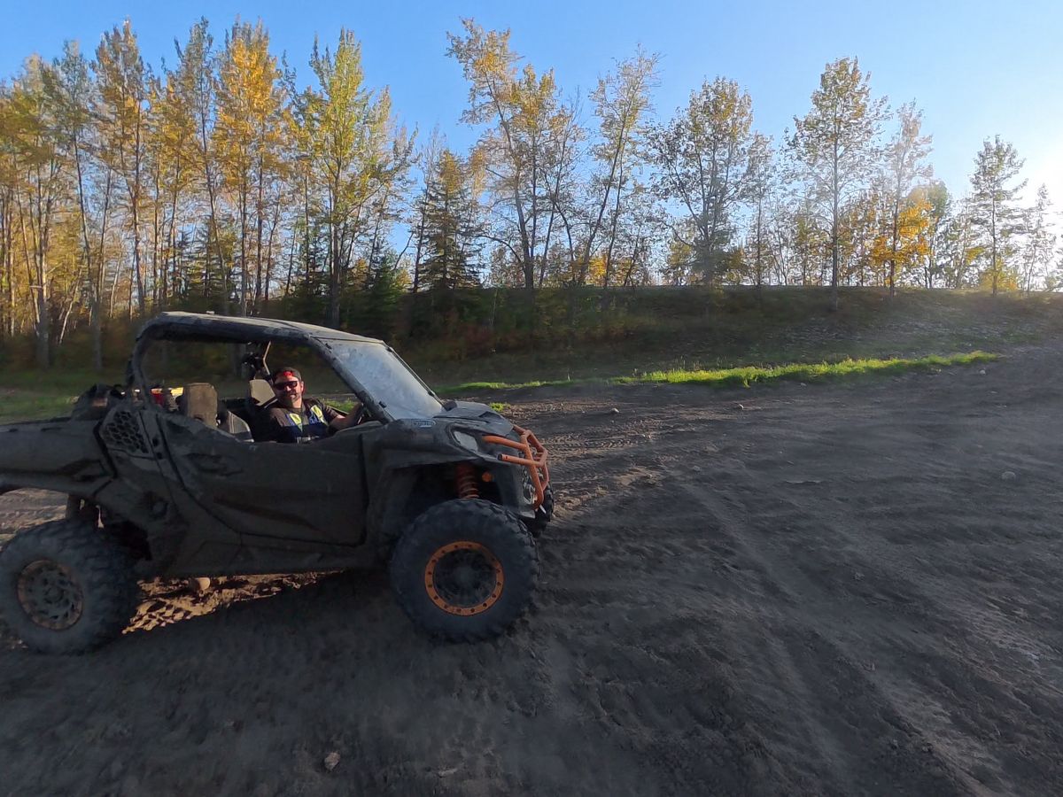
How far: the south edge of Grande Prairie. Good for: side-by-sides, quads, and an evening ride.
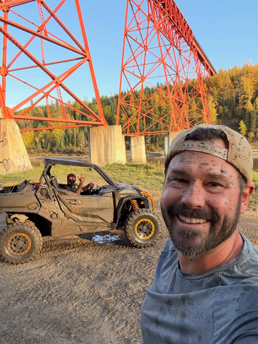
Everyone in Grande Prairie calls it the Dunes. On the map it’s the Wapiti Sand Dunes: sand bowls, aspen trails, a clifftop view of the CN trestle, and the Wapiti River. Our loop was 28 km. That’s the beauty of the Dunes: a full adventure in two or three hours, minutes from town.
2. Saskatoon Mountain, County of Grande Prairie
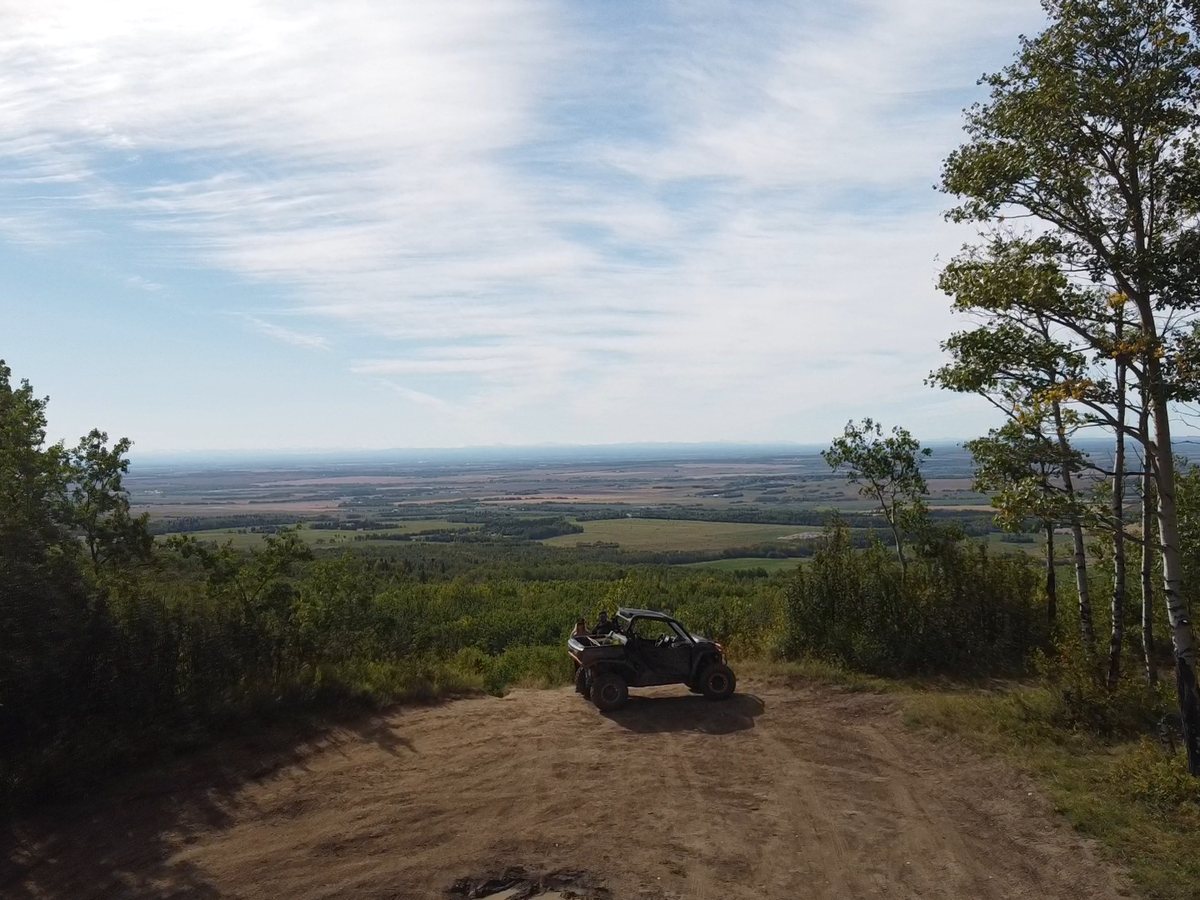
How far: 30 km west of Grande Prairie. Good for: a quick ride or hike, the viewpoint, and a picnic.
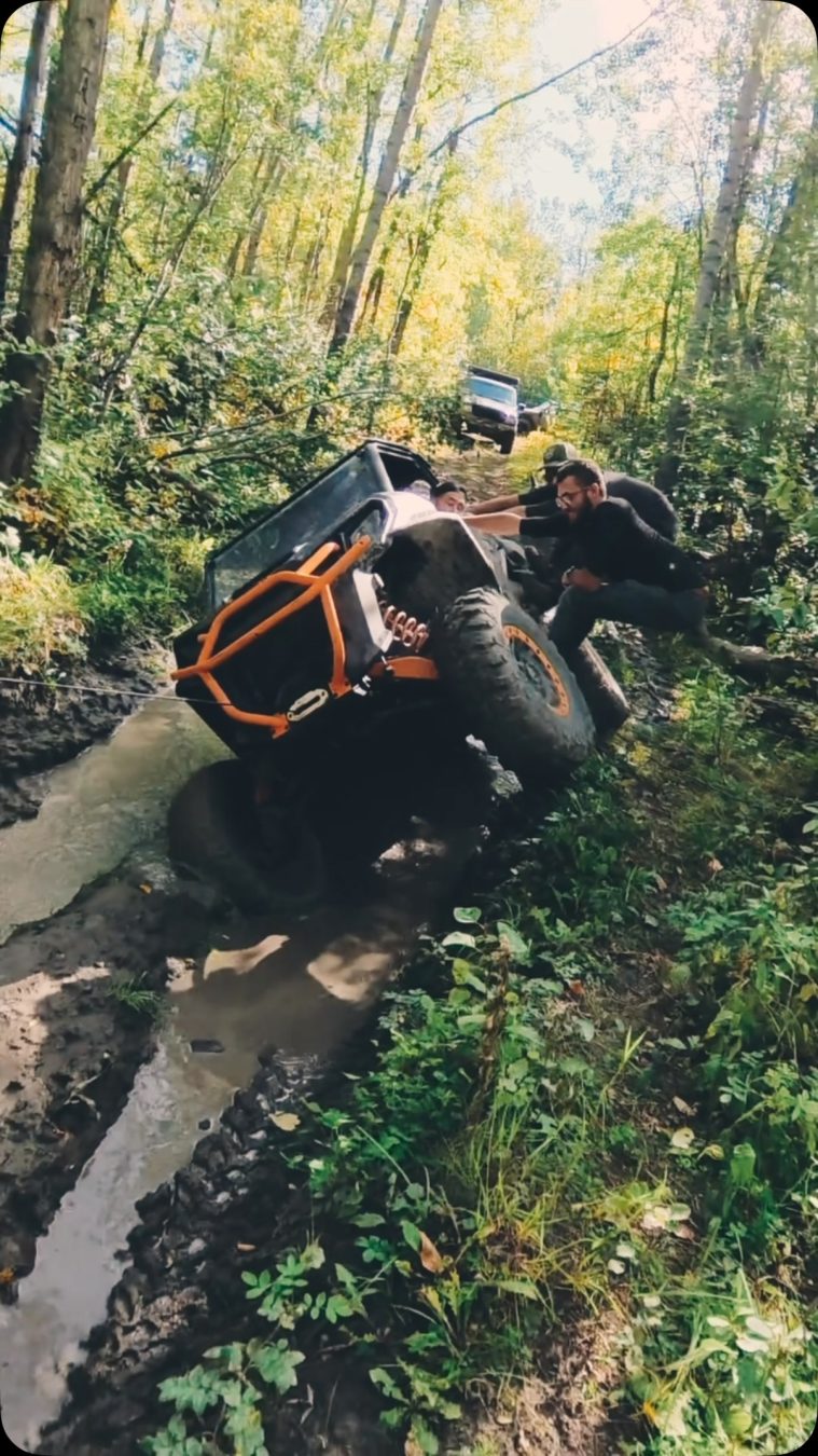
At 940 m it’s the highest point west of the city, with a view over the Peace Country to the Rockies on a clear day. It’s a day-use Provincial Recreation Area with a paved road to the top, informal trails through the aspen, and the old radar dome Stacie thought was Disneyland as a kid. Off-highway vehicles are allowed only west of Range Road 92. It’s also where we got stuck in the mud.
Read the Saskatoon Mountain guide →
3. Kakwa Falls, Kakwa Wildland Provincial Park
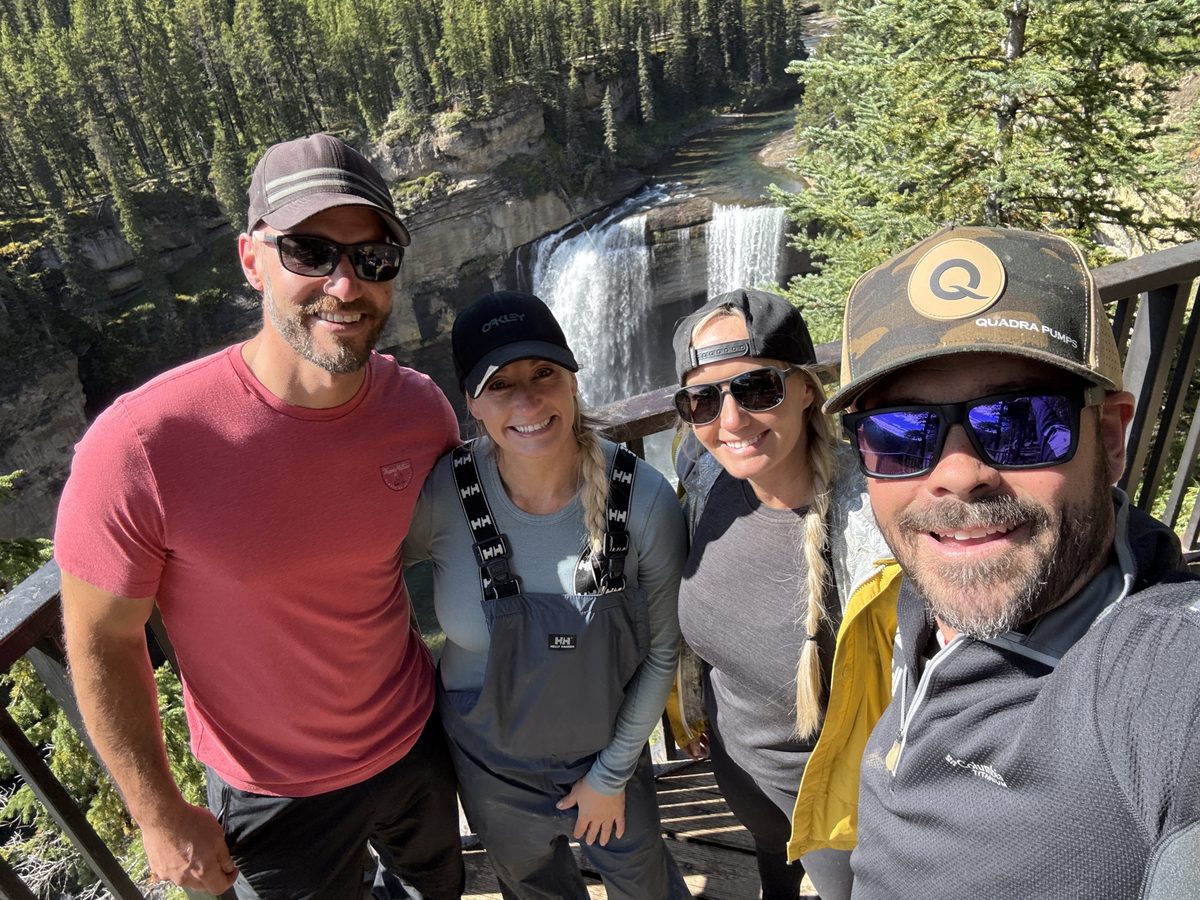
How far: Alberta Parks puts the falls day use area 168 km from Grande Prairie, by Highway 40, Highway 666, and the Two Lakes Road. Good for: a multi-day side-by-side or quad trip.
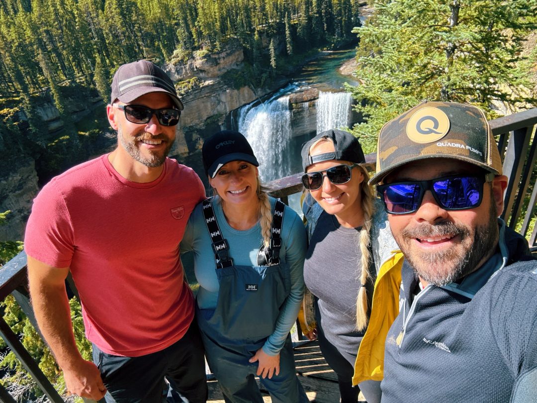
Alberta’s tallest waterfall, 30 m high, at the end of the Two Lakes Road and a rough trail. We camped at Sherman Meadow, rode 55 km to the falls and back, and tried Horn Ridge.
4. Caw Ridge, Grande Cache
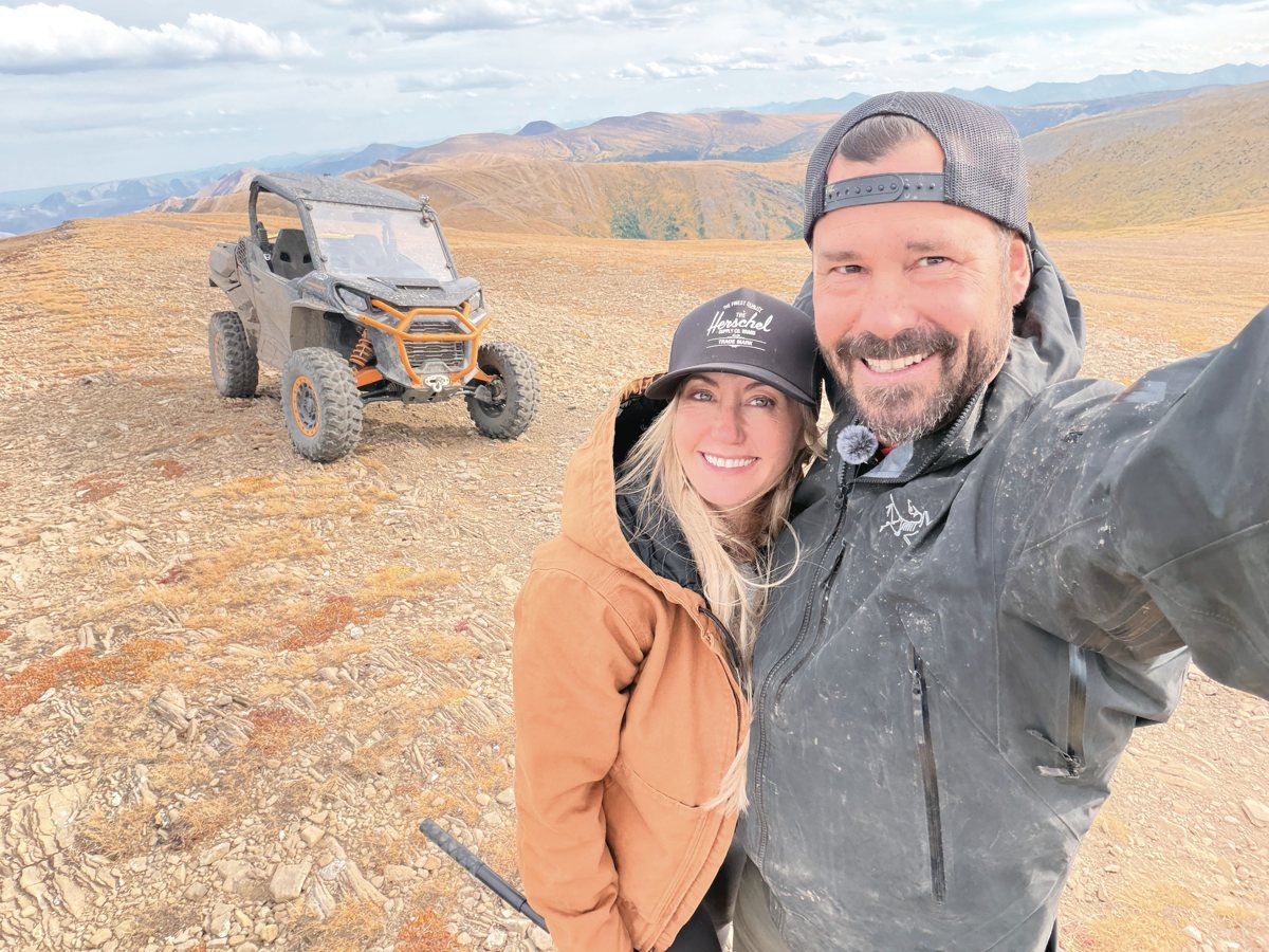
How far: down the Highway 40 corridor to Grande Cache. Good for: side-by-side camping and alpine views.
Old mining roads off Beaverdam Road climb to an open alpine plateau north-west of Grande Cache, with bighorn sheep on the cliffs. Our recorded ride from camp to the ridge was 38 km, topping out at 2,154 m the next day, and we marked six places to camp along the way.
5. Mount Spieker, Tumbler Ridge, BC
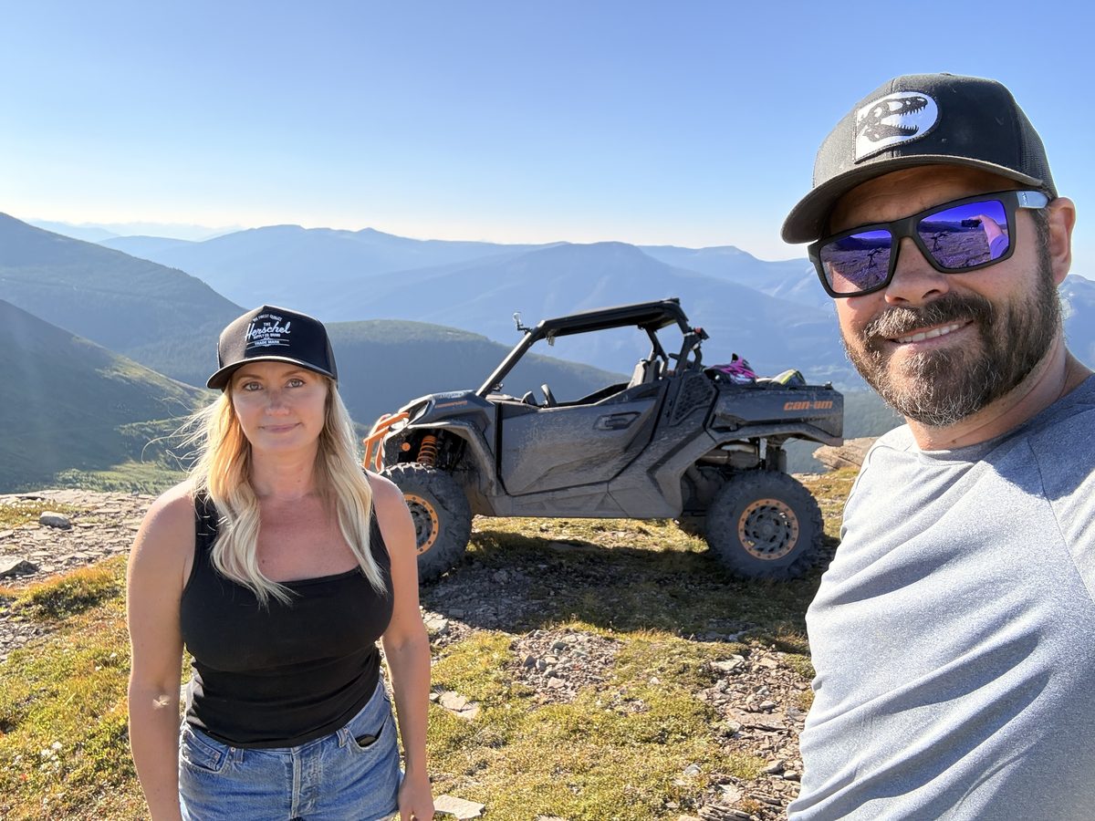
How far: Tumbler Ridge is 250 km from Grande Prairie. Good for: a side-by-side or quad ride to an alpine summit.
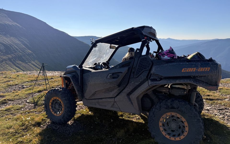
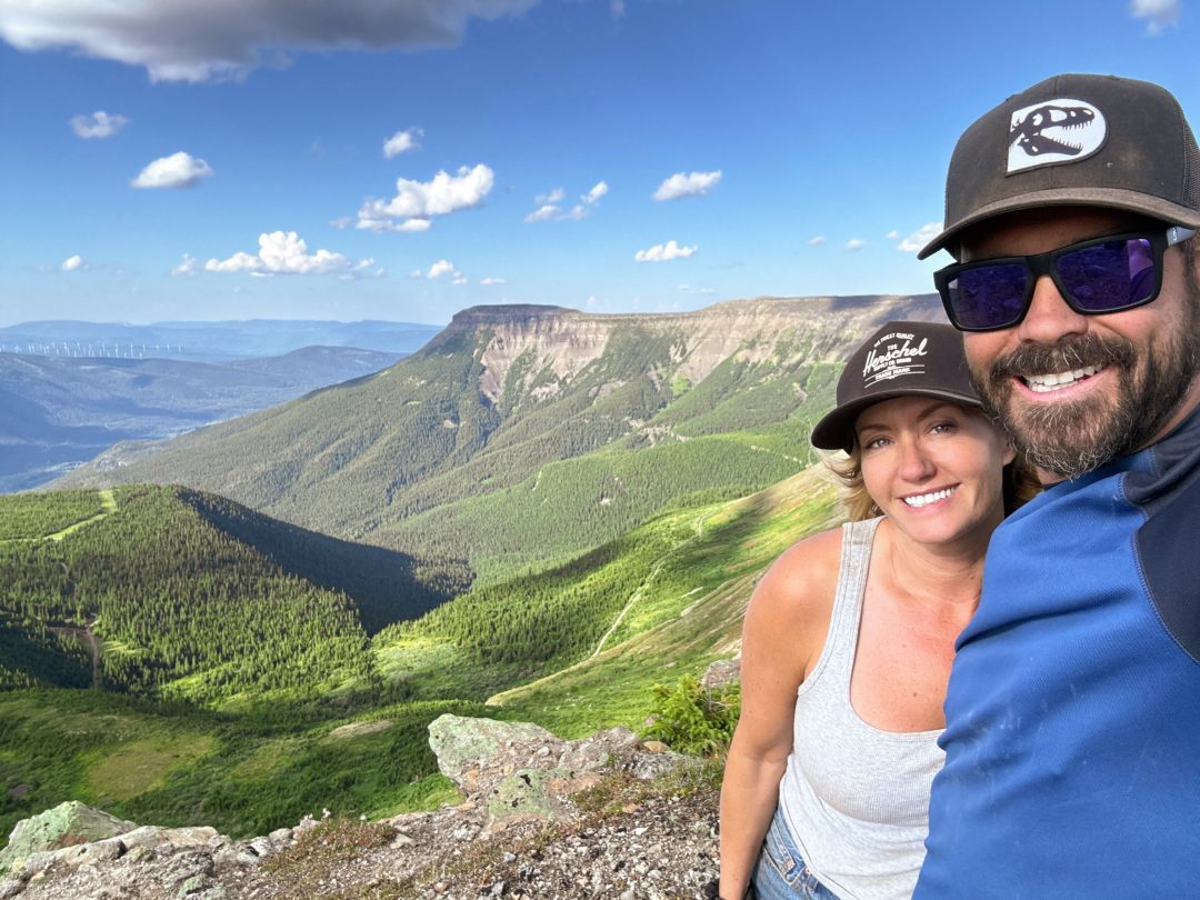
A flat-topped alpine mountain north of Tumbler Ridge, with a 10 km ATV route up one side and hiking routes up the other. The summit is 1,971 m. We rode the Commander up in August 2026, and it’s where Ryan filmed his overview of our solar backpack setup.
Read the Mount Spieker guide →
6. Windfall Lake, Tumbler Ridge, BC
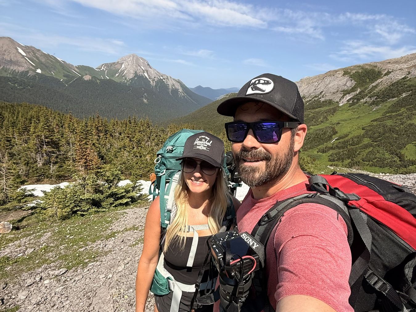
How far: Tumbler Ridge is 250 km from Grande Prairie. Good for: a backpacking overnight.
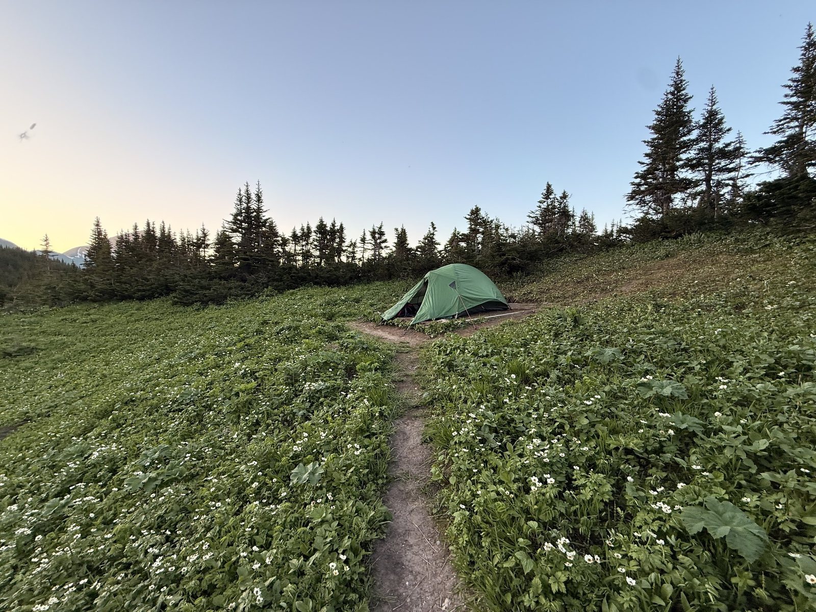
An alpine lake in a limestone cirque in the Tumbler Ridge UNESCO Global Geopark. It’s 10 km return with 414 m of climbing, and it’s challenging. We camped under the headwall and came back over the alpine on the Circular Route.
Read the Windfall Lake guide →
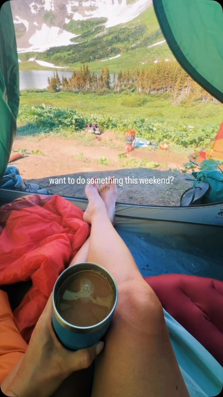
These Trips on Instagram
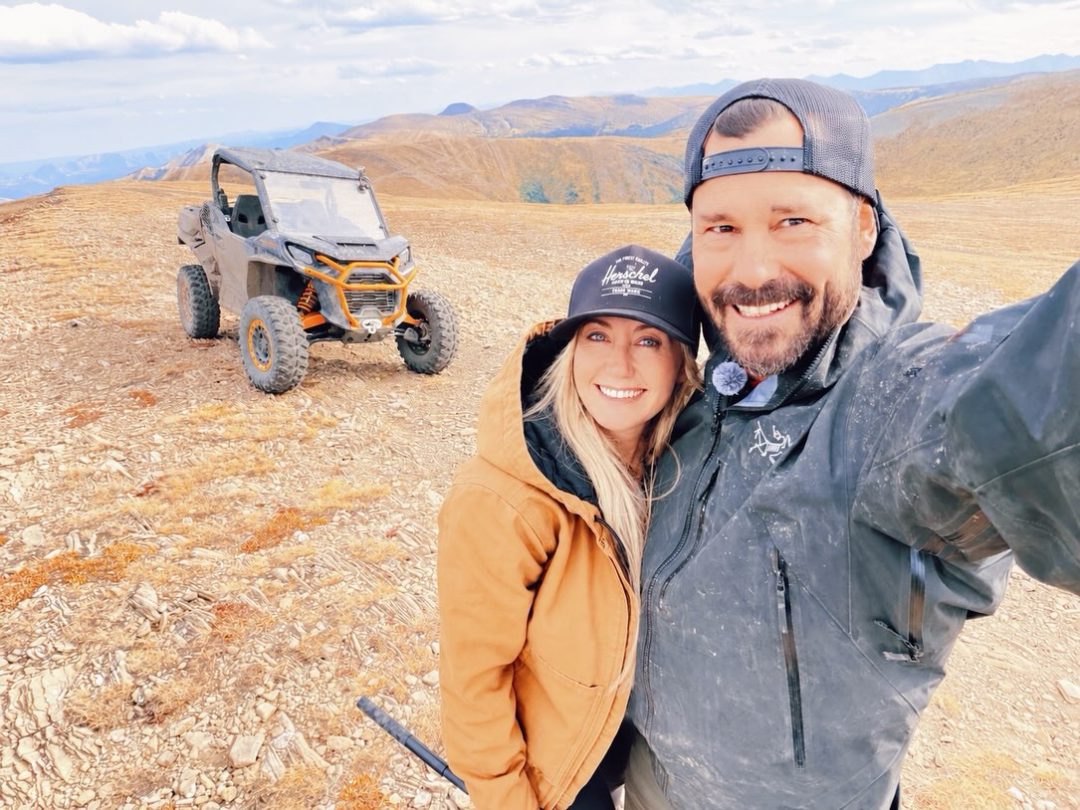
Every one of these trips started as a few posts on @wildlatitudeco. Here they are, in the order we took them.
Before You Go
- Check conditions the day you leave. Every guide has a Conditions section with weather, fire ban, and road links for that spot.
- Download maps before you lose signal. Most of these places are past the last cell tower. Our guides have maps, GPX routes, and links to save them offline.
- Ride with a second machine and a winch if you’re taking a side-by-side or quad off the beaten track. We learned that one the hard way.
Want the regional picture? Start with Northwestern Alberta or Northeastern BC.
Ryan
Ryan Blais
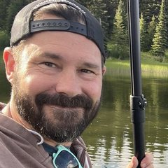
Ryan runs Nine10, a Grande Prairie web and digital marketing agency, and handles the rigs, the power, and the connectivity on our trips.
Meet Ryan →