






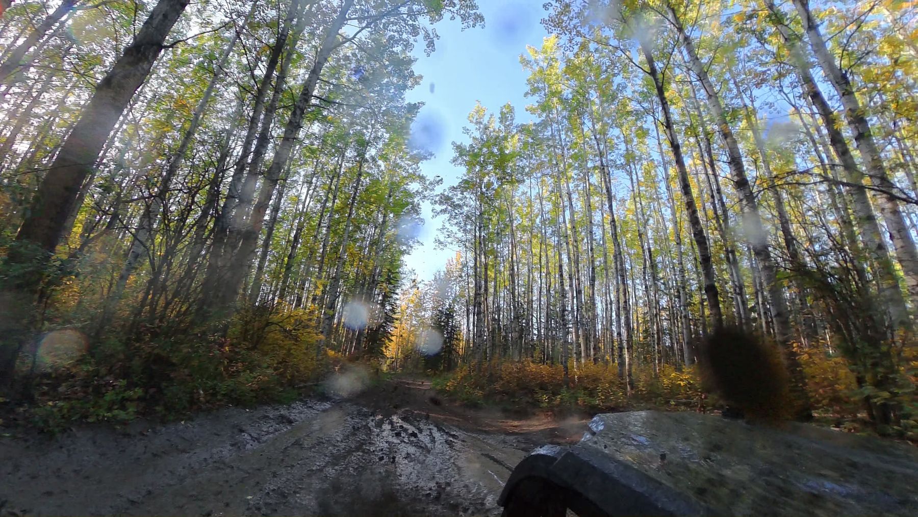
Out of the Staging Area and Into the Aspen
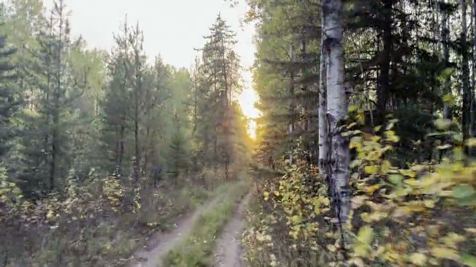
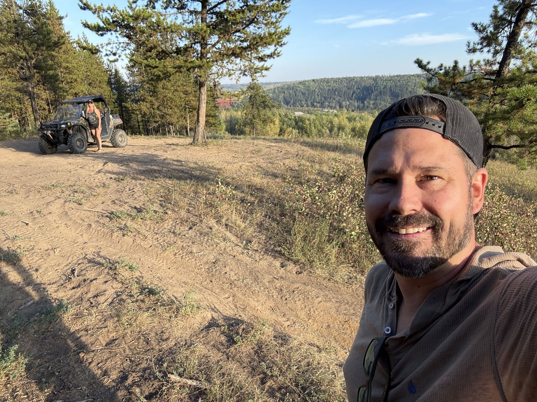
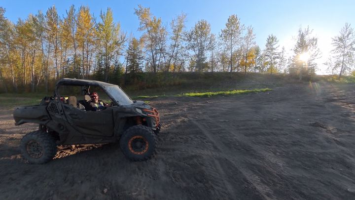
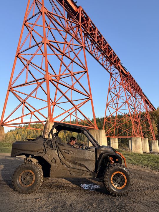
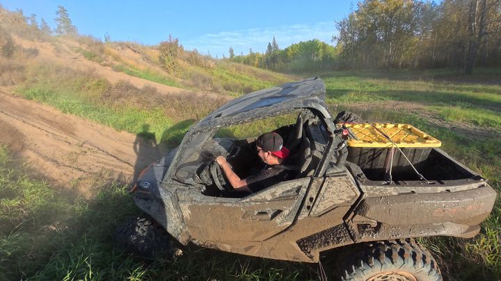
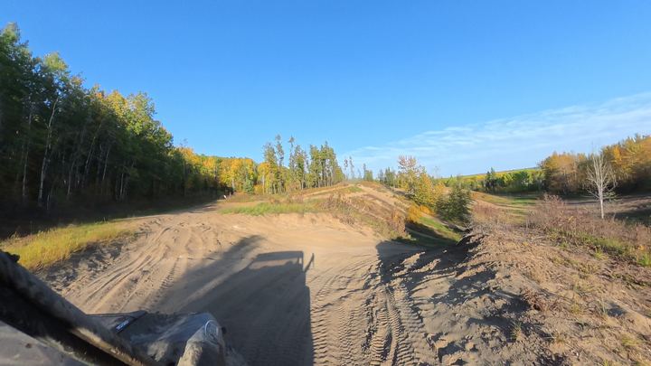
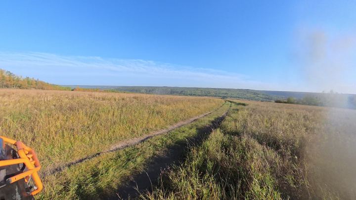
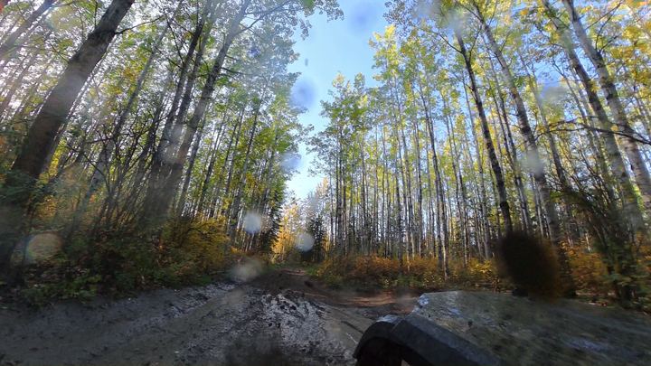
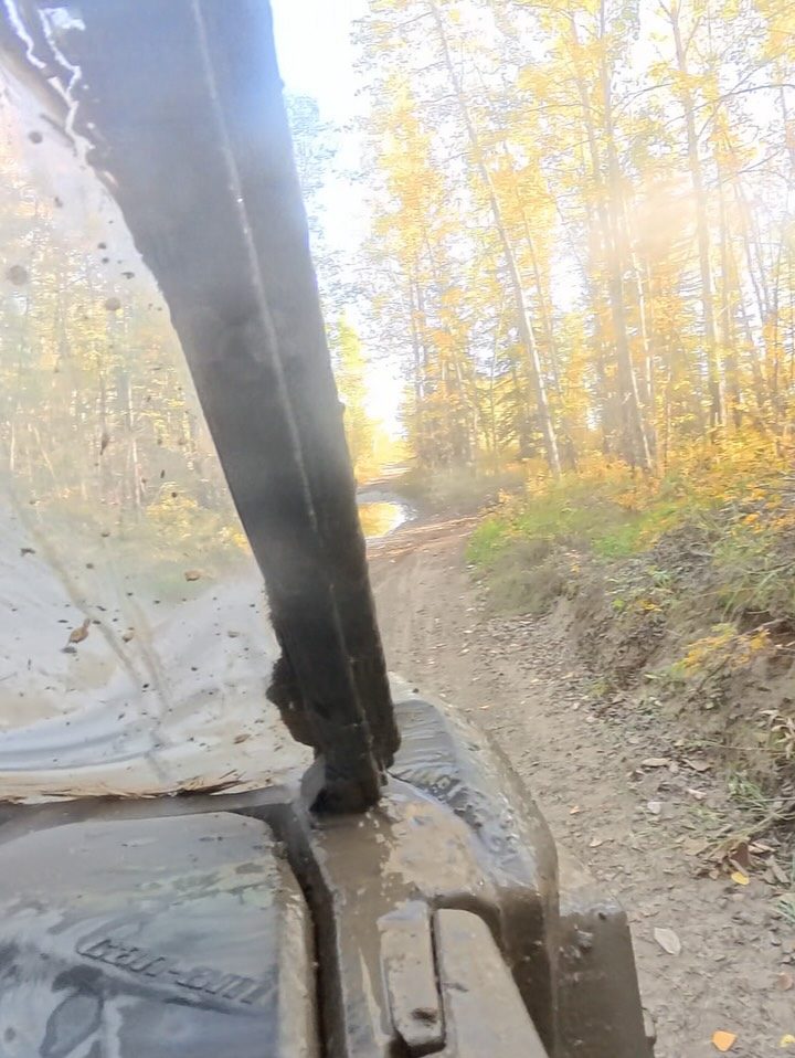
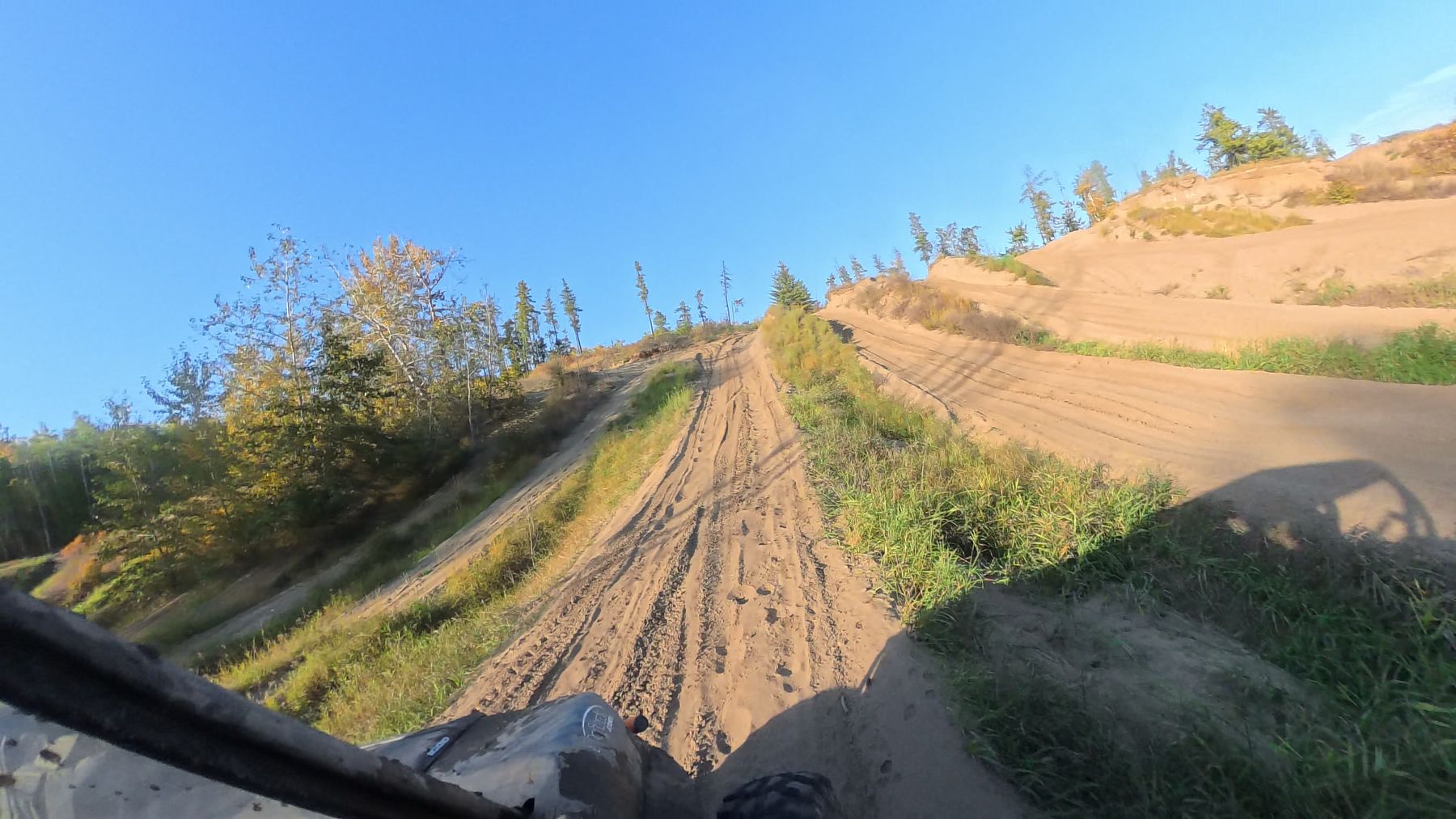
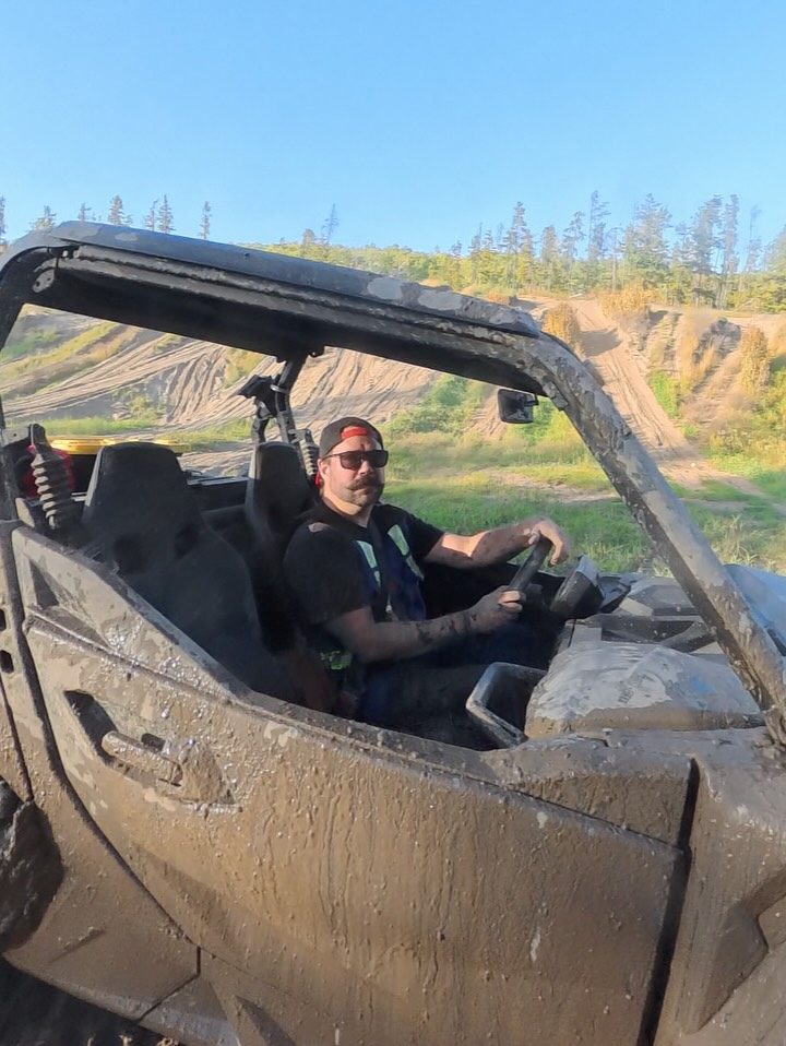
We unloaded at the staging area around 5:30 in the evening and headed south on trails through the aspen, just turning yellow. The trails were wet, and the Commander was brown within minutes.
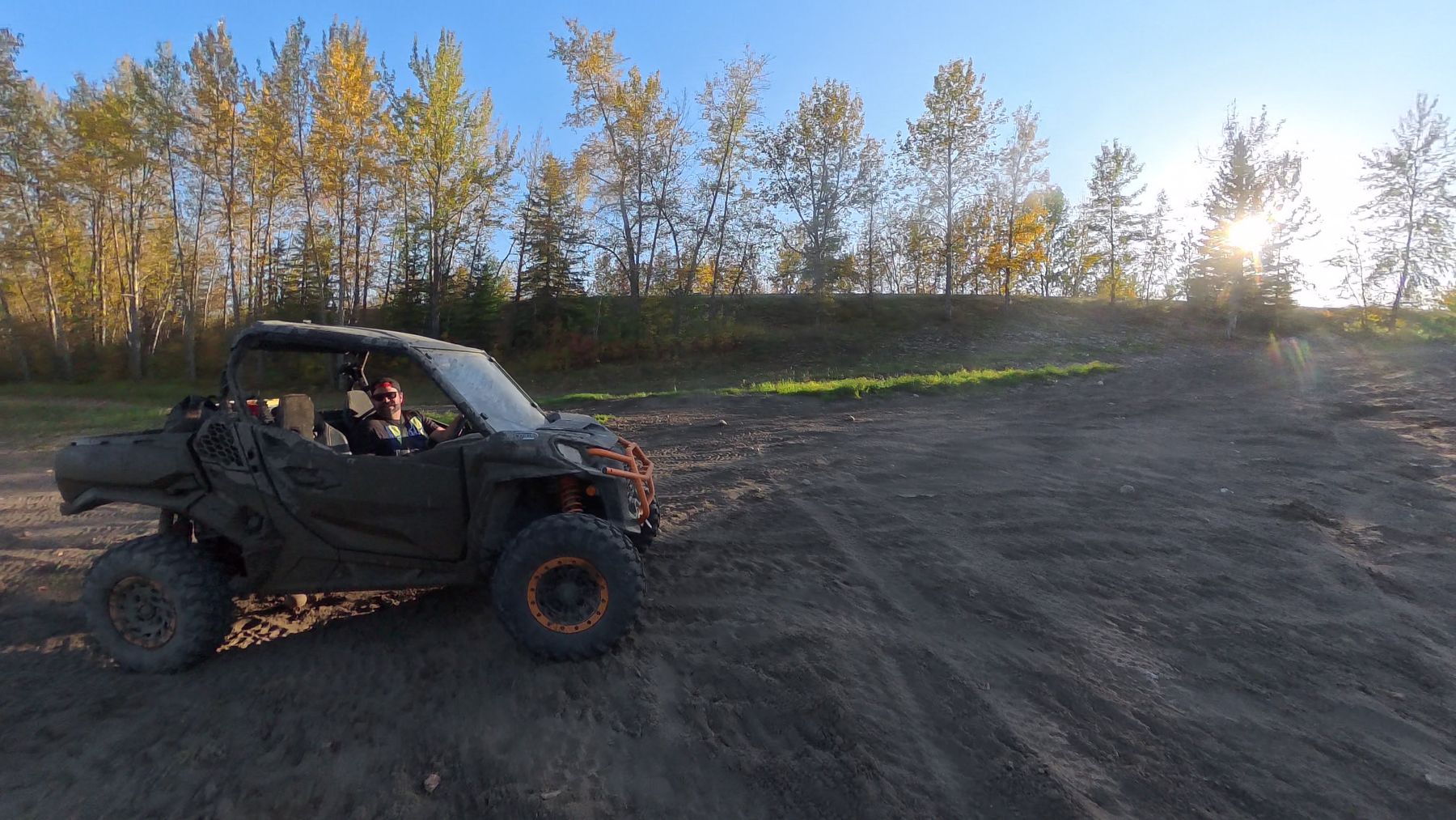
Sand bowls, aspen trails, and the Wapiti River, minutes from the south edge of Grande Prairie. Here is where to unload, where you can and cannot ride, the rules, the maps, and our track, photos, and videos from two evening rides, one with Stacie and one with Ryan’s brother Norman.
Everyone in Grande Prairie calls it the Dunes. On the map it is the Wapiti Sand Dunes: public land on the south edge of the city, running down to the Wapiti River, with sand dunes, lodgepole pine and black spruce, tamarack wetlands, and peat bogs.
It is the province’s land, not a park. In January 2026 the Government of Alberta finished the Wapiti Trail Management Plan, which sets out where you can ride. The Dunes Multiple Use zone is built for off-highway vehicles and dirt bikes: over 40 trails and about 208 km of riding, from green to black diamond, served by the Dunes Multiple Use Staging Area. Right next to it, the Central Dunes Conservation Area is closed to all motorized use.
For us it is the easiest rip there is: close enough to town for a weeknight. We have only scratched the surface, and this guide will grow as we ride more of it.
Source: Government of Alberta, Wapiti Trail Management Plan (2026) (atv / quad, wildlife).
Sources: Government of Alberta, Wapiti Trail Management Plan (2026) and Alberta Stewardship Stories: the Dunes.
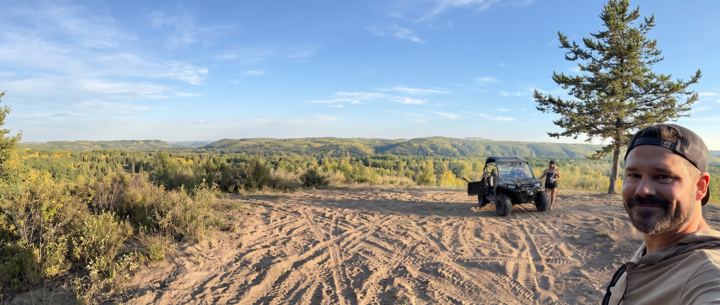
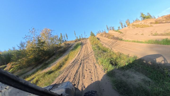
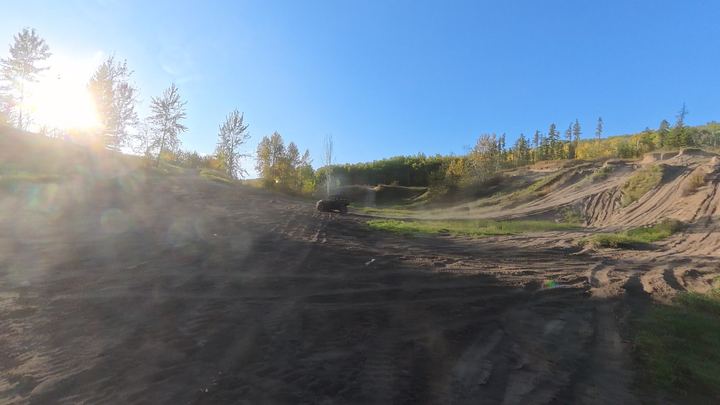
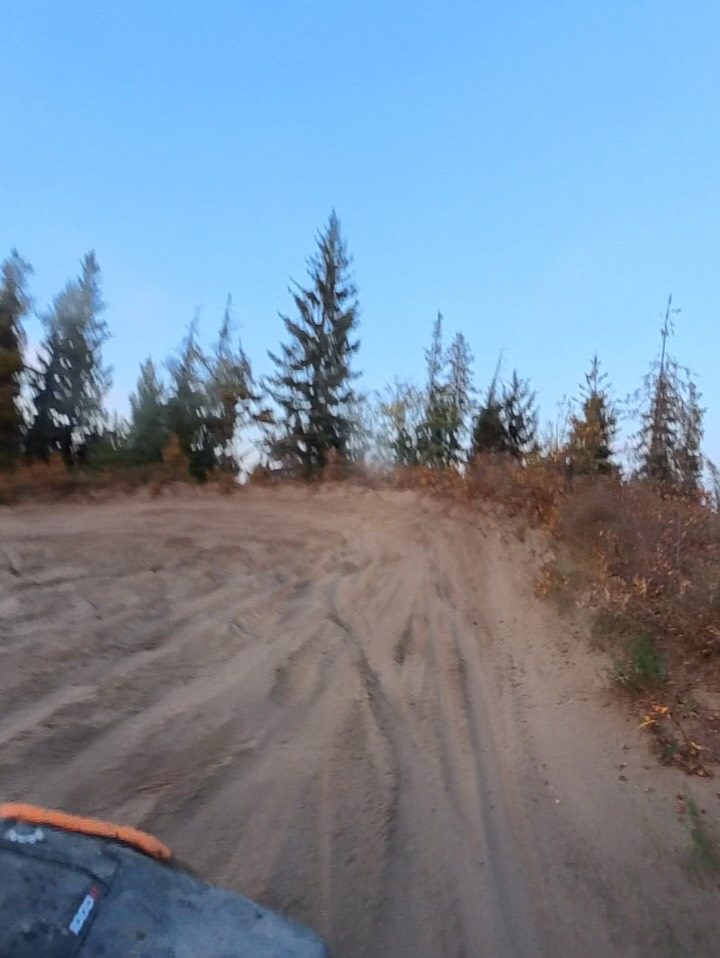
Open sand, tire tracks everywhere, and pine on every ridge. This is what the place is named for.
Get DirectionsThe staging area is on the south side of the city, close enough to ride a weeknight after work. The map below is pinned on the spot where we unloaded.
Staging area location from the Wapiti Trail Management Plan (2026); road rules from the County of Grande Prairie OHV Bylaw 3023; Tamarack from the County of Grande Prairie.
The Dunes are not one trail. Alberta’s plan splits the area into zones, and the rules change at their edges. Here is what each one means for a rider.
The zone made for us: off-highway vehicles and off-road motorcycles, over 40 trails and about 208 km of riding, rated from green to black diamond. It is served by the Dunes Multiple Use Staging Area. The plan says the staging area will be upgraded with washrooms, picnic tables, and warming shelters, so expect very little there for now.
The heart of the dunes, 38.3 km² beside the riding zone. Motorized recreation is not permitted, and the province plans to close and restore the trails that were cut into it. Know where its edge is before you go.
Mostly off-road motorcycle trails, with one OHV loop. The plan encourages riders here to start from the Dunes Multiple Use Staging Area.
The East Multiple Use zone along the south bank of Bear Creek, and the north part of the West Multiple Use zone, are closed to OHVs and dirt bikes. Unauthorized crossings of Bear Creek near Taylor Estates and Aspen Ridge are being closed, and so is the noise buffer south of the Wapiti Dunes Golf and Winter Club.
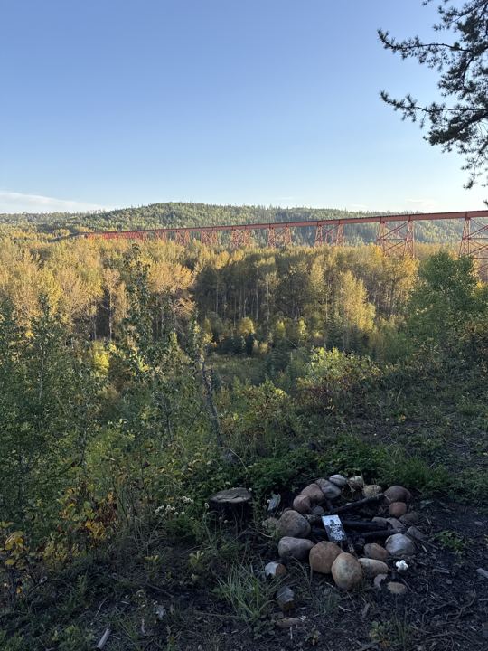
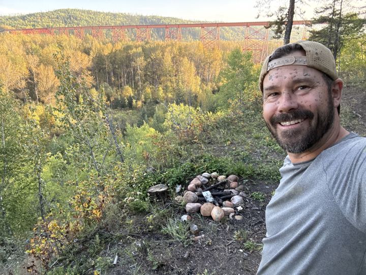
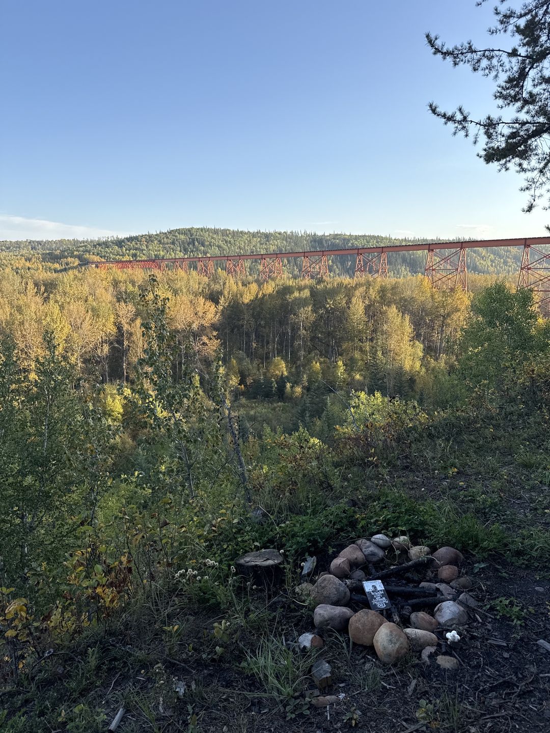
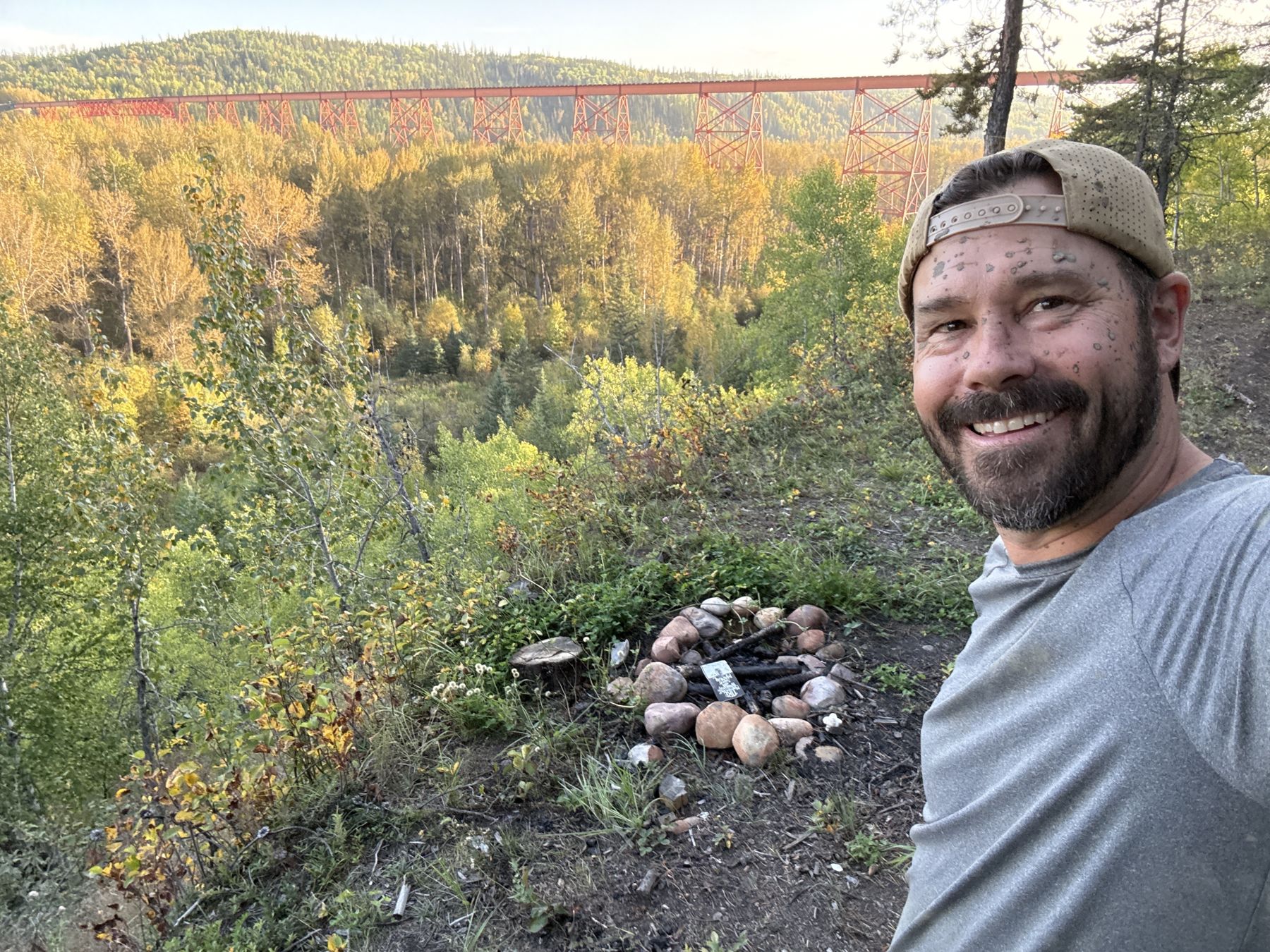
On the edge of the valley wall, about 400 m north of the CN railway trestle over the Wapiti River, is a little clearing with a stone fire ring and the whole trestle in front of you. It is the best view we found at the Dunes. Open the viewpoint in Google Maps, or load our Avenza track, which has it pinned.
Trails leading onto or across the rail line or private forestry land are being closed or rerouted. Stay on the designated trails.
All zones from the Government of Alberta, Wapiti Trail Management Plan (2026), which has the zone maps. Railway and river names from OpenStreetMap; the viewpoint is our own pin.
Partway through our loop the trail ended at a small clearing right on the edge of the cliff. Someone had built a ring of stones for a fire, and straight across the valley, the CN railway trestle ran over the Wapiti River, bright orange against the yellow aspen.
We got there at 6:30 on a September evening, with the sun low on the bridge. It is the spot we would send you to first.
Railway and river from OpenStreetMap. Fire rules from the Wapiti Trail Management Plan (2026) and the County Wildfire Mitigation Strategy (2025).
Our 28 km weeknight loop from the staging area, recorded in Gaia GPS and Avenza Maps. Download the GPX, and read the note below the map before you follow it.
Our Gaia GPS recording from Monday, September 21, 2026: a 28 km evening loop from the staging area through the sand, down to the Wapiti River, and back.
The same ride recorded in Avenza Maps, with our two pins: the staging area and the clifftop viewpoint over the CN railway trestle. Select a pin to see it.
GPX is the standard file for sharing a GPS track: our route as a line of points, each with a position and an elevation. Import it into Trailforks, Gaia GPS, Avenza Maps, onX, Garmin Connect, or any app or handheld GPS that reads GPX, and you can follow the same line we rode. Download the map for offline use before you leave cell service, and carry a paper map and compass as backup.
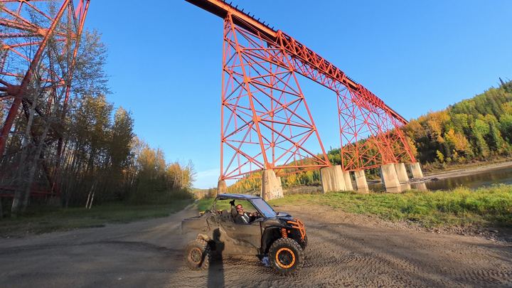
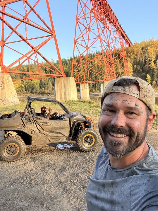
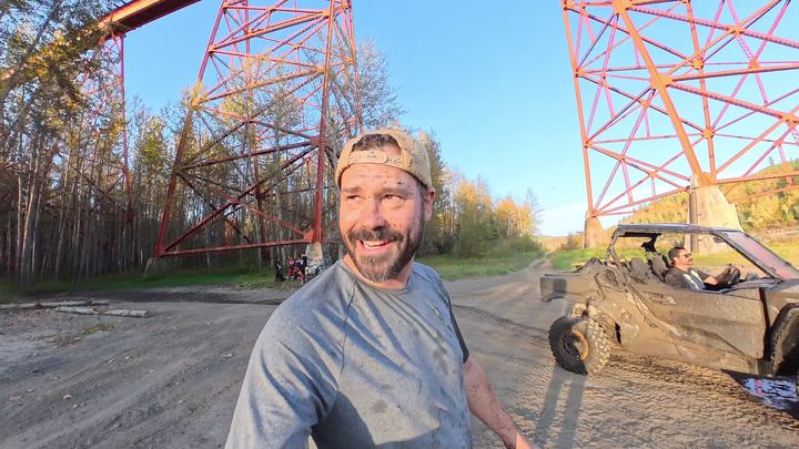
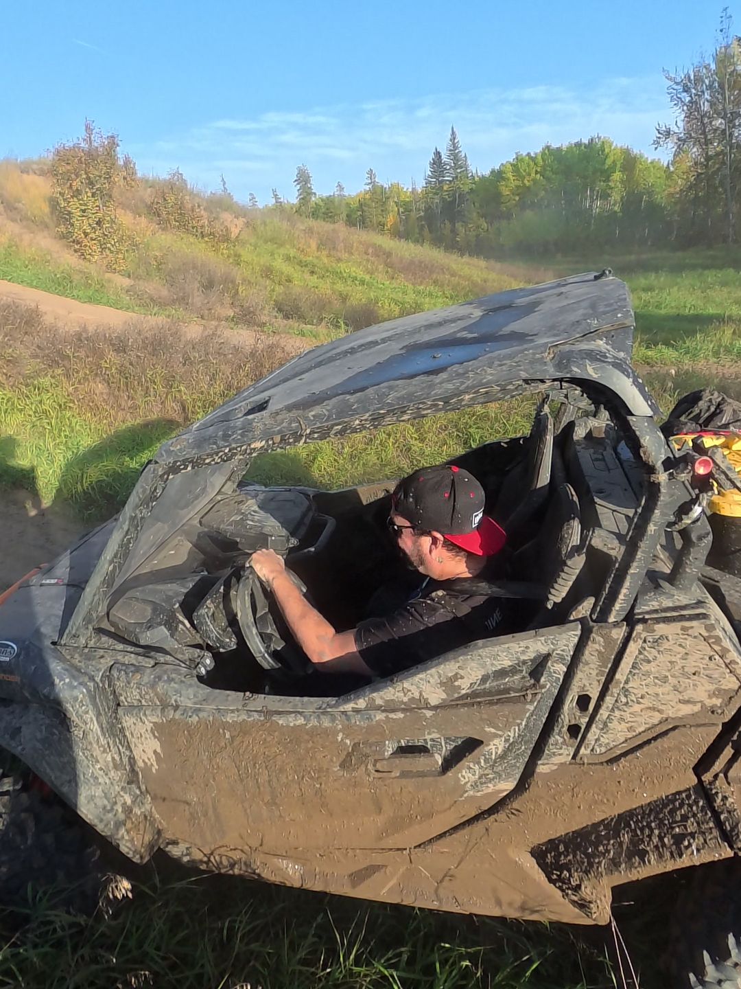
The last stretch of trail before the CN railway trestle runs through a long, deep mud pit. Norman drove it through, and the camera came out the other side covered in mud, just as the trestle legs came into view. The trails at the Dunes are sand in one place and mud in the next, so expect to get dirty.
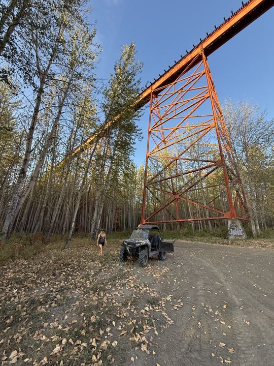
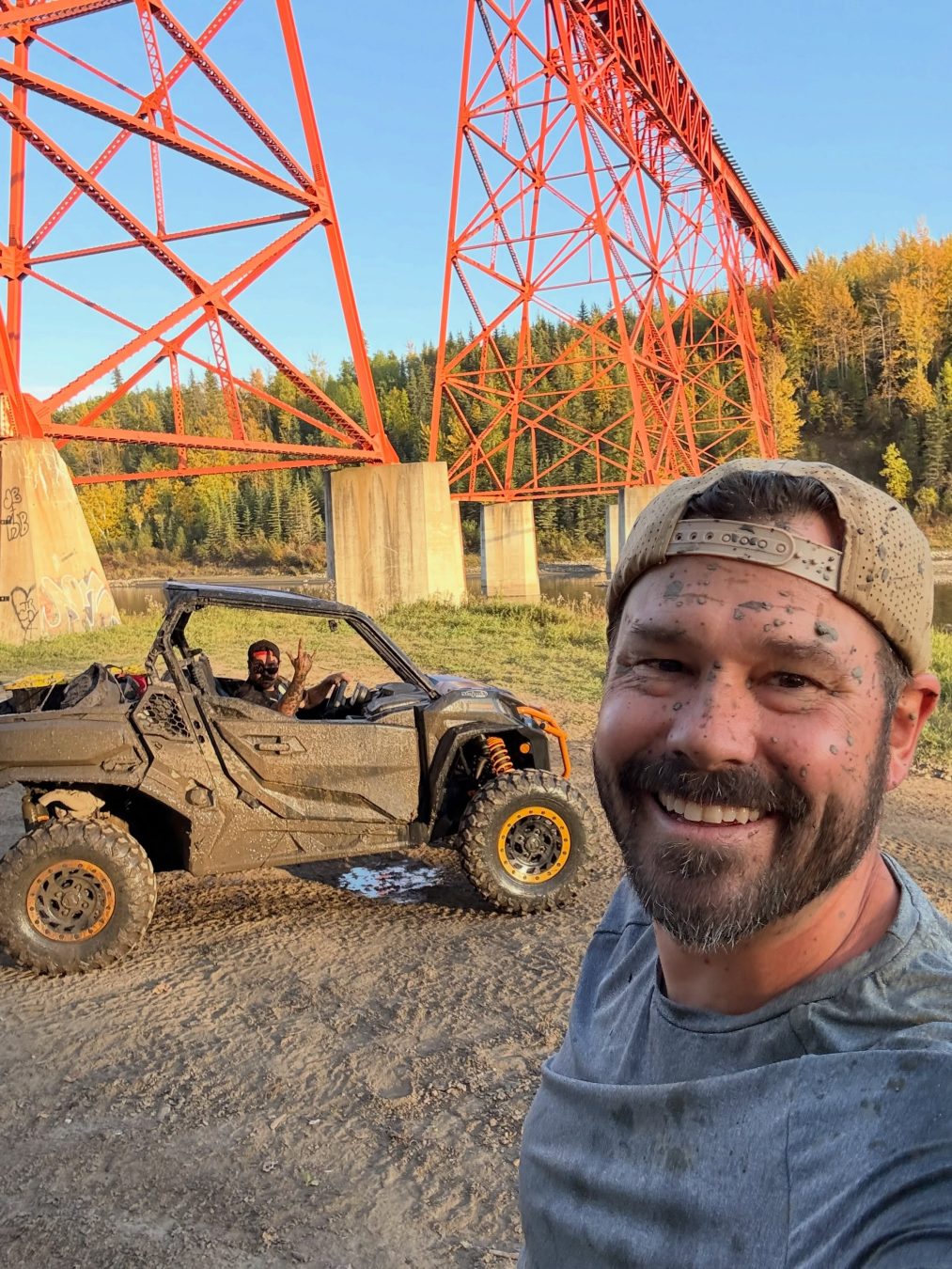
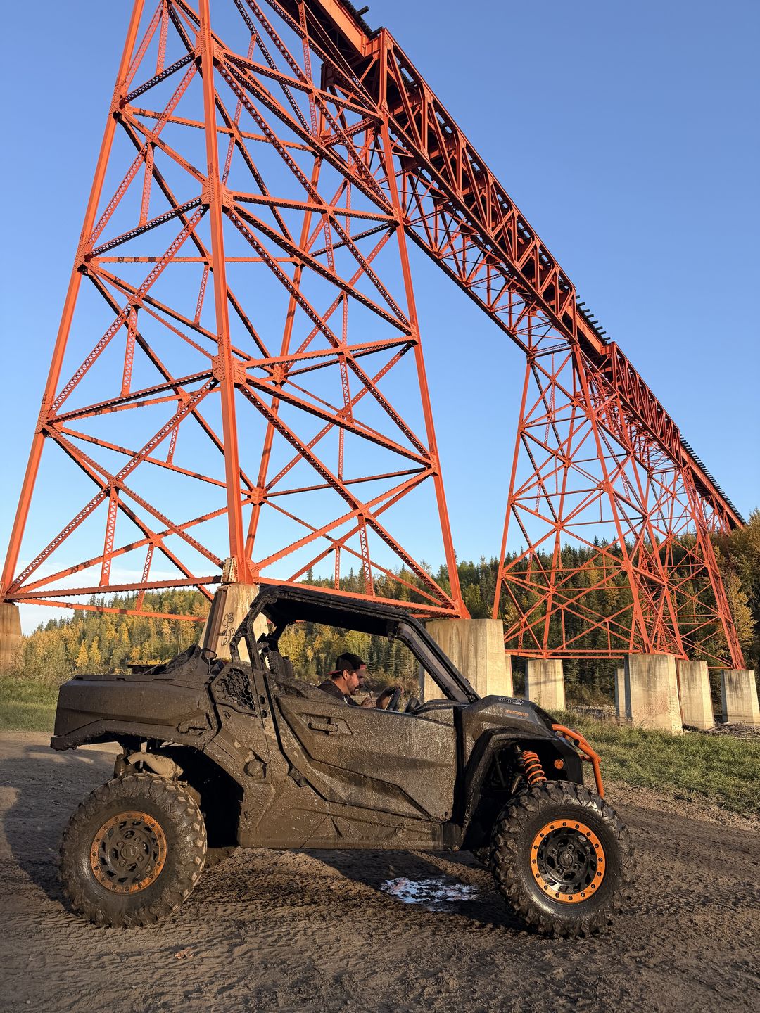
Drop down off the sand toward the Wapiti and the trail runs right under the CN railway trestle. See it first from the clifftop viewpoint, then ride down and look straight up.
Sources: Alberta, motorized recreation on public land, Alberta OHV helmet law, the Wapiti Trail Management Plan (2026), the County Wildfire Mitigation Strategy (2025), the 1998 Wapiti Sand Dunes Land Use Zones, and Alberta Stewardship Stories.
Weather, fire bans, and road conditions change quickly. These official sources open straight to the right place, so check them the day you head out.
Most of the sand dune fields on the Prairies formed from sand left by meltwater rivers at the end of the last Ice Age, about 11,000 years ago. Wind piled it into dunes, and plants have held it in place since. The Stewards of Alberta’s Protected Areas name the Bear River and Wapiti sand dunes near Grande Prairie as one of these dune fields.
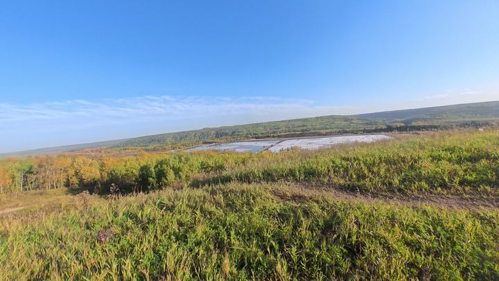
Today the dunes are covered in 80 to 100 year old pine, hit hard by mountain pine beetle, with aspen slopes running down to the Wapiti River. Between the ridges are fens, small ponds, and peat bogs. The soil and plants are fragile and slow to recover, which is why the conservation area at the centre of the dunes is closed to motors.
All that dry pine next to town is also why the County ranks the Wapiti Sand Dunes as its top priority for wildfire work. In 2023 the Dunes West wildfire forced evacuations south of the city.
Sources: SAPAA, The Sand Dune Natural Areas (2026), the 1998 Wapiti Sand Dunes Land Use Zones, the County Wildfire Mitigation Strategy (2025), and EverythingGP (2023).
Bear River (Wapiti Sand Dunes) Natural Area
One Monday evening in September, before summer closed, Ryan and his brother Norman loaded the Commander and headed for the Dunes. About three hours, 28 km, and a lot of mud.

We unloaded at the staging area around 5:30 in the evening and headed south on trails through the aspen, just turning yellow. The trails were wet, and the Commander was brown within minutes.
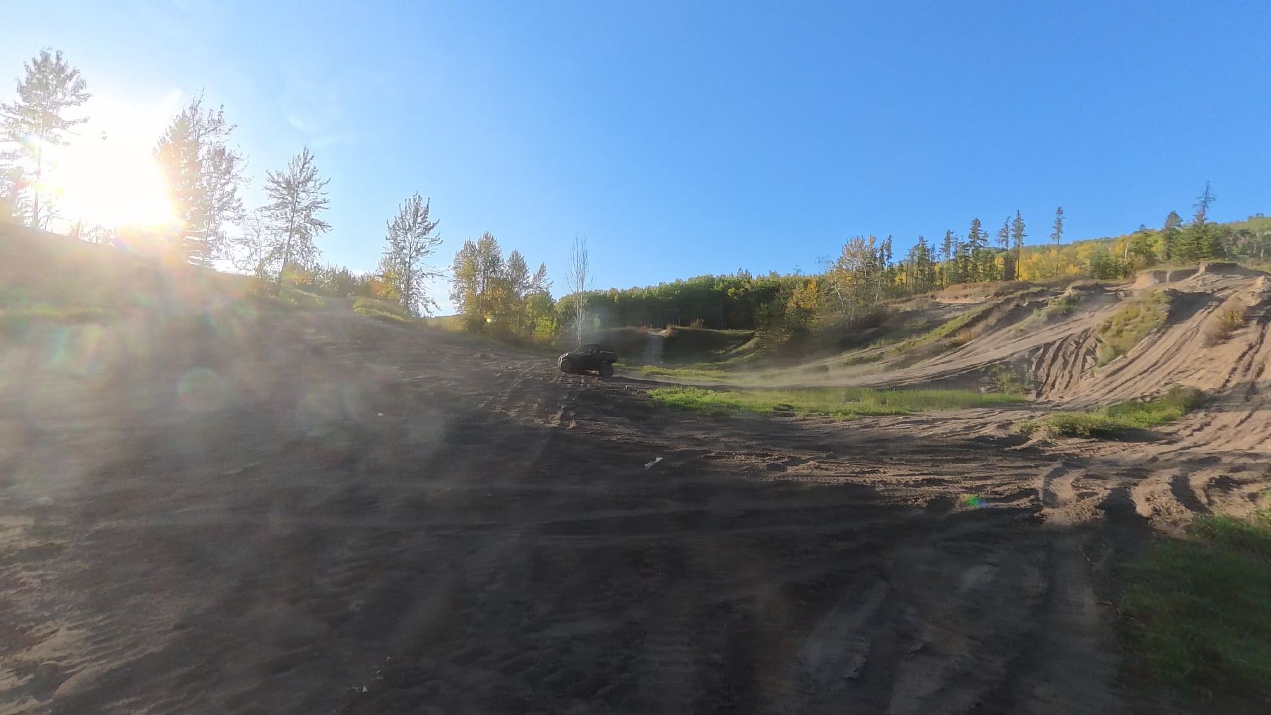
Then the trees open up and it is all sand: bowls, banks, and ridges, criss-crossed with tracks. Norman took the wheel for the sand.

At 6:30 the trail ended at a clearing on the valley edge, with a stone fire ring and the orange CN trestle straight across the valley. Our favourite spot of the night. More on the viewpoint.

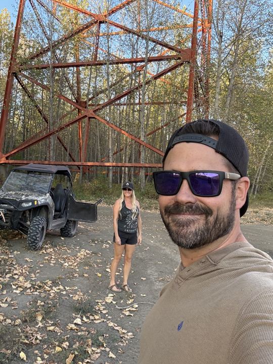
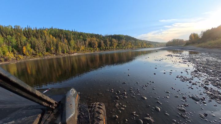
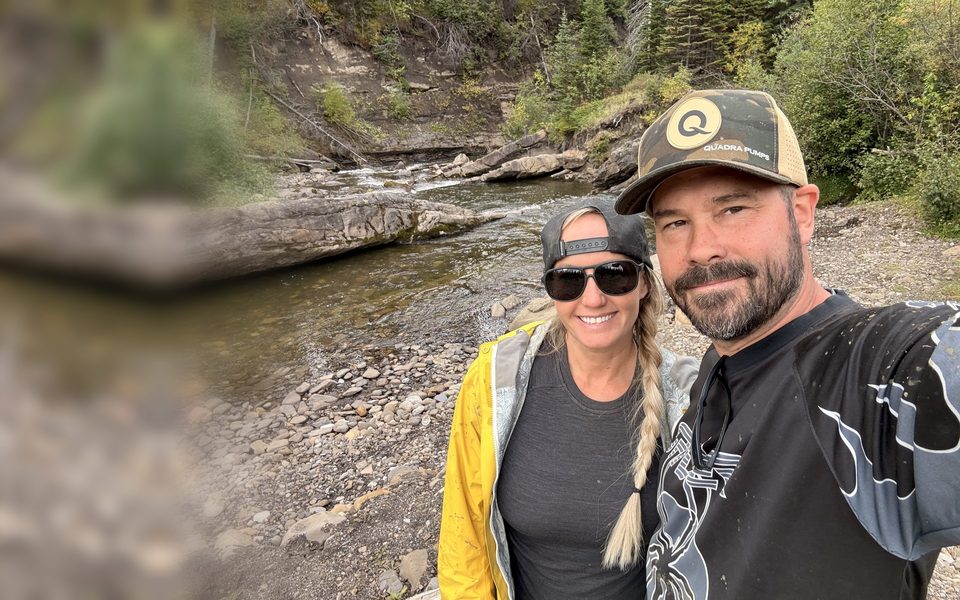
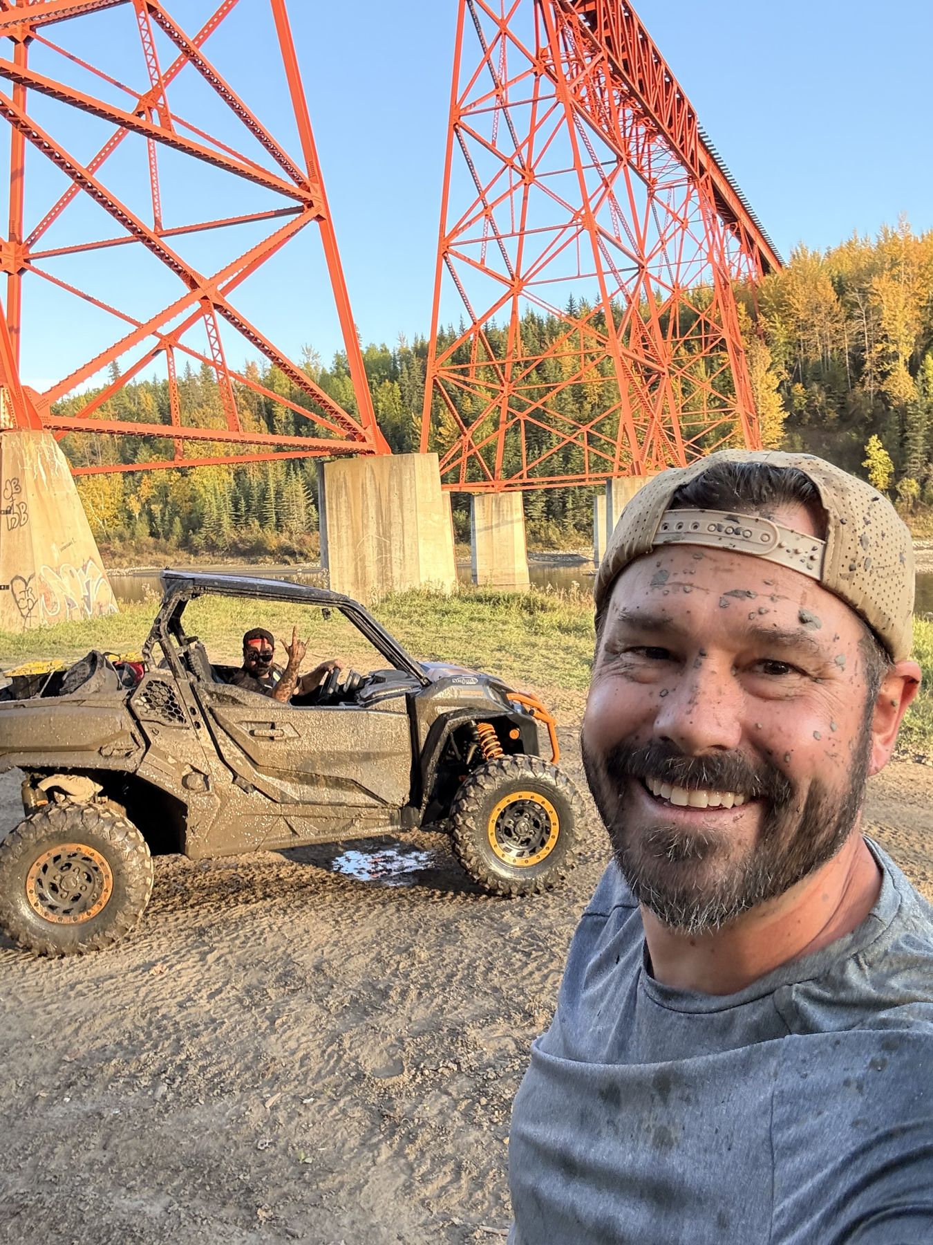
Ten minutes later we were down at the Wapiti River, right under the trestle we had just been looking at, about as orange as it gets with the sun low on it. We stopped for a muddy selfie.

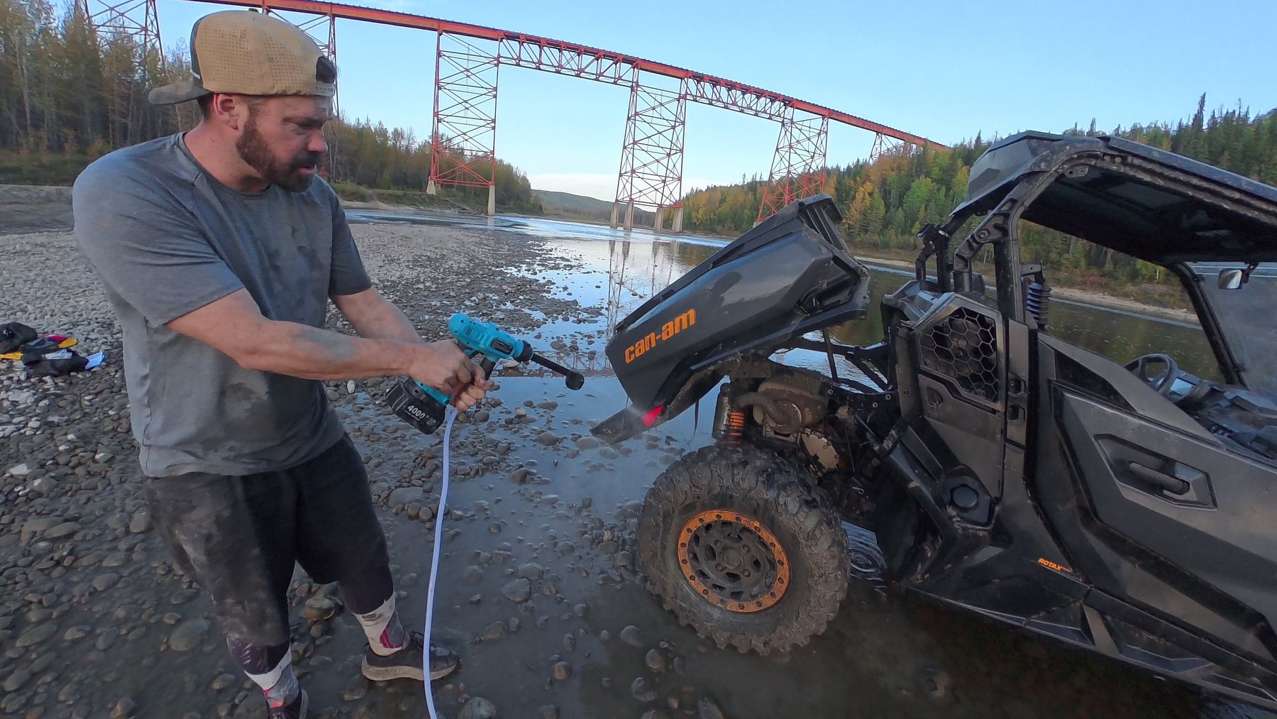
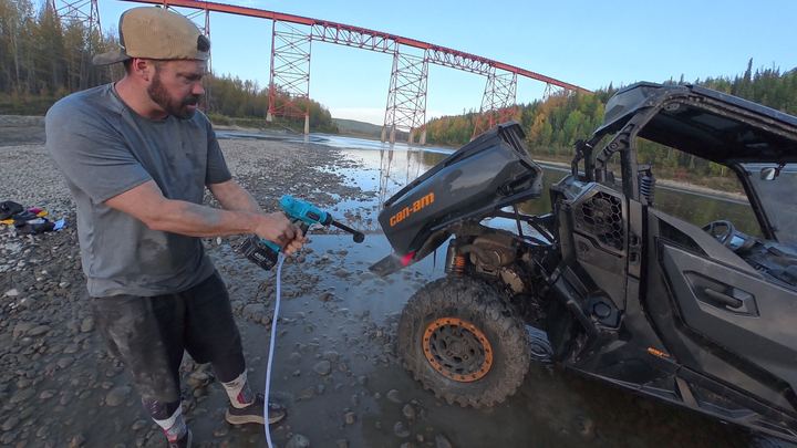
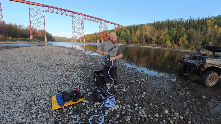
After the mud pit the Commander was more mud than machine, so we pulled out the Seesii cordless pressure washer on the river gravel under the trestle and cleaned up. It turned out to be one of the fun parts of the night.
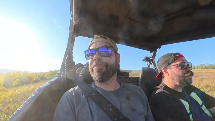
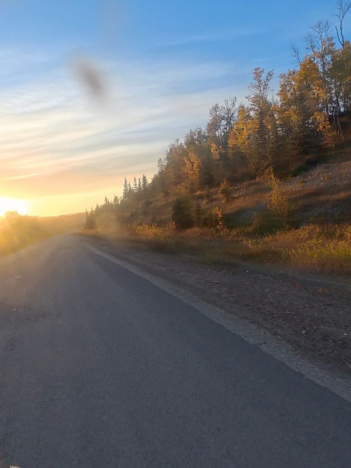
We rode back toward the staging area as the sun dropped, Norman driving and the low light coming through the trees. Press play to ride along. 1 min 33 sec, sound on.
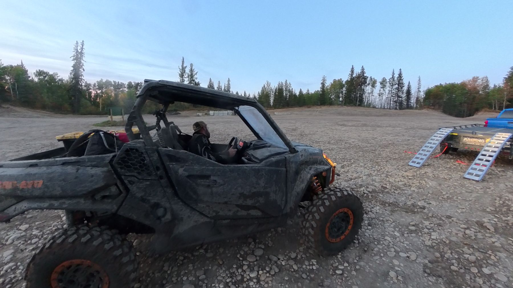
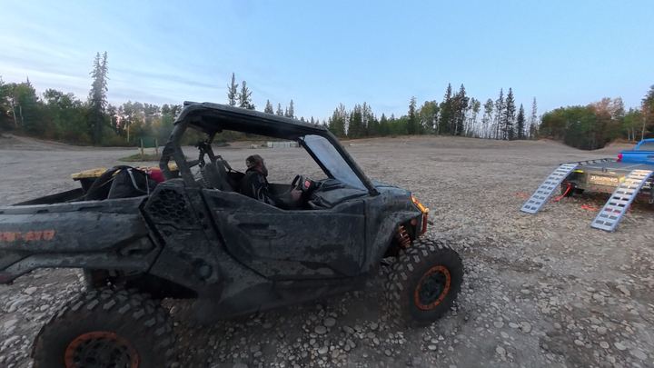
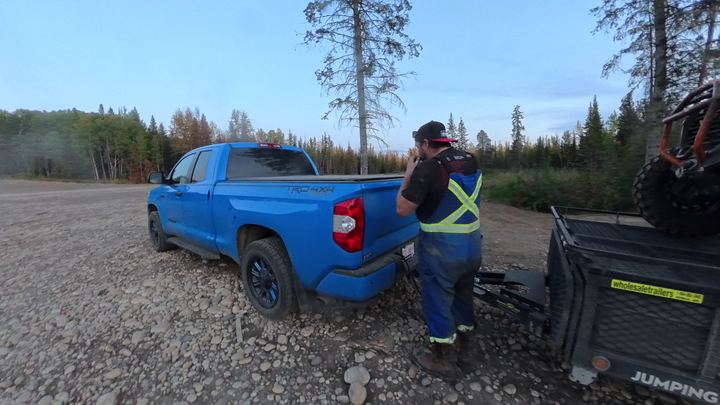
We rolled back into the staging area just after 8 p.m., loaded up as the light went. That is the beauty of the Dunes: a full adventure in two or three hours, minutes from town.
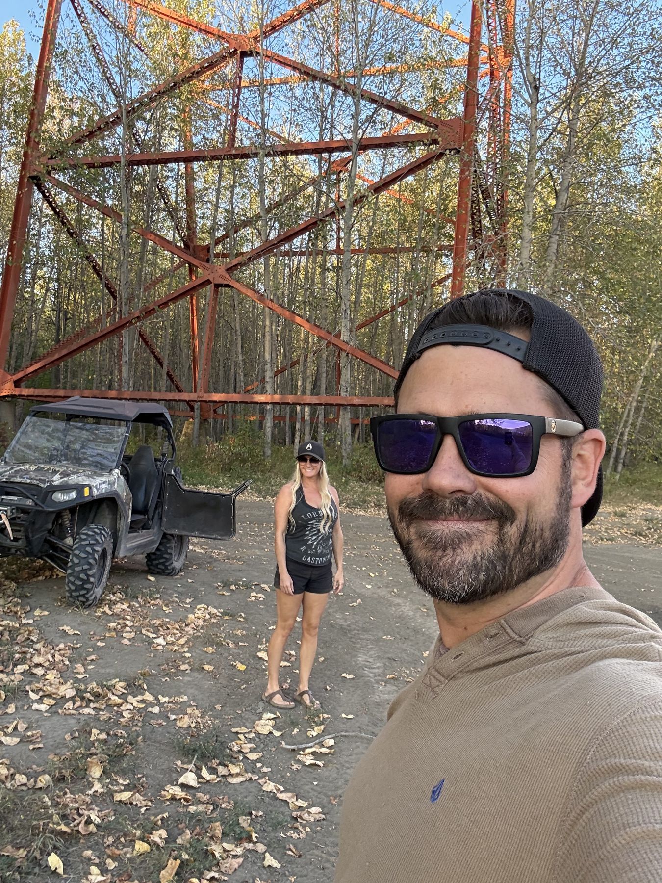
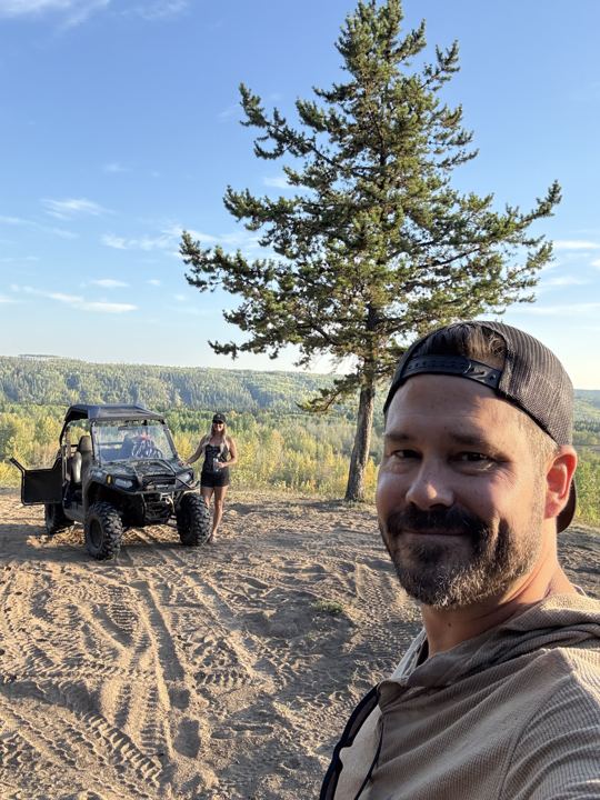
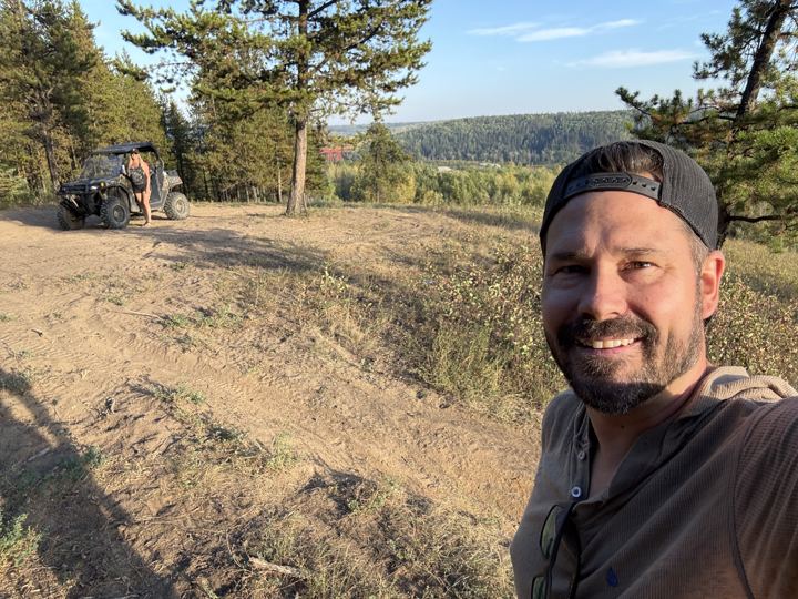
A year before the ride with Norman, we spent a September evening at the Dunes in Stacie’s RZR, back when she had one. Stacie drove, Ryan rode along, and we found the sand ridge on the cover of this guide and our way down to the river under the trestle.
29 sec On the trails through the pine, just after six.
1 min 5 sec Switching back and forth down the bank toward the Wapiti.
40 sec The last drop onto the gravel, the trestle right overhead.

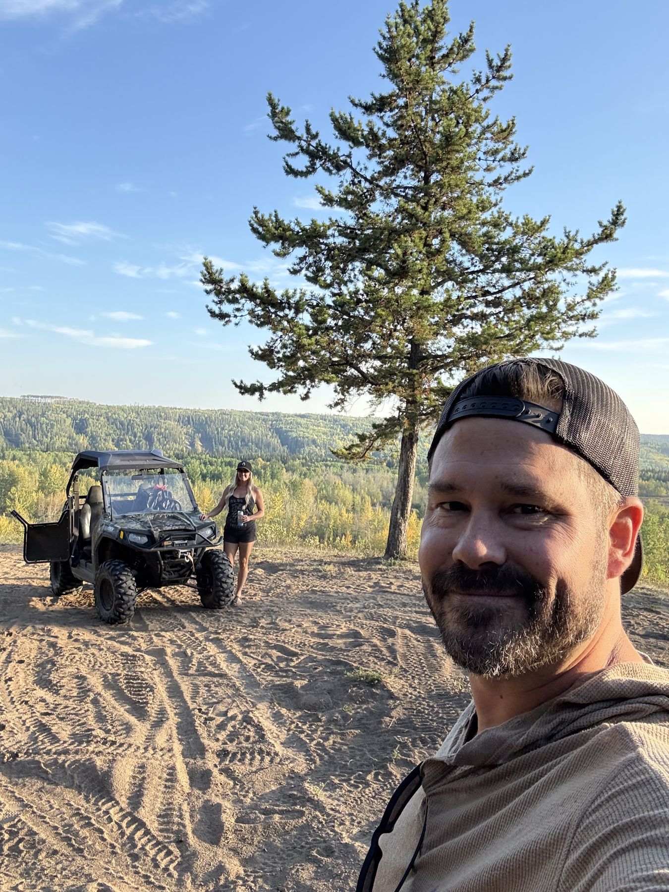
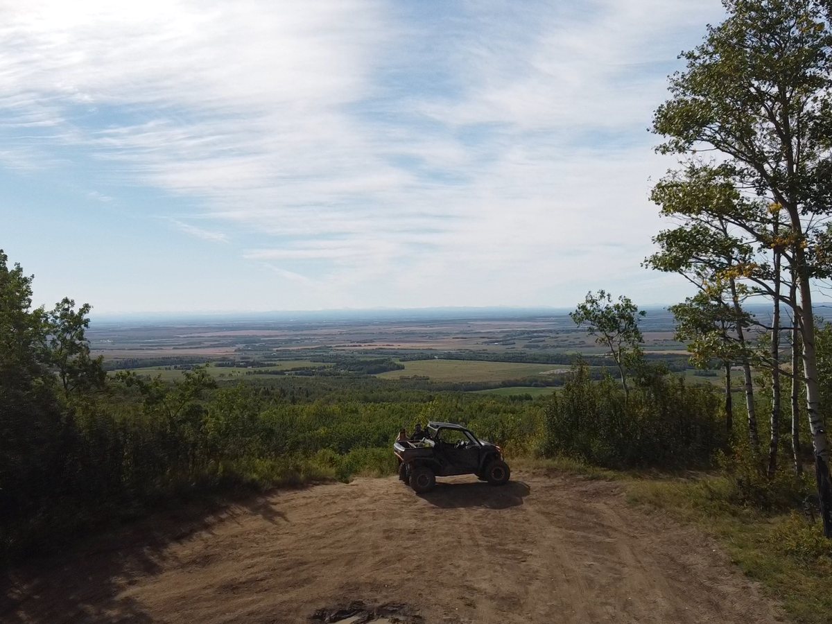
Up on top we found an open ridge of sand with a single big pine on the edge and the whole forested valley below. It is the photo at the top of this page.

The sun was getting low over the sand and the valley. One of those evenings that reminds us how lucky we are to have this so close to home.

Then down under the CN railway trestle, the same bridge we came back to with Norman a year later.
From our rides in September 2025 and September 2026. Select any photo to open it full size.


The ride as we shared it on Instagram the next week. Swipe through it here, or open the post to watch the videos.


“A quick & muddy weeknight evening with my brother to the Dunes trails before summer closes. So convenient for a 2-3hr adventure.” As we posted it on Instagram on September 29, 2026. Swipe for all six.
See the Post on InstagramThe official plan and rules, our own GPX tracks, and the links to check before you go.
County OHV Bylaw 3023Rules for riding County roads and ditches on the way in and out
Our GPX Track: The Dunes LoopOur 28 km Gaia GPS recording from September 21, 2026
Our Avenza Track and PinsThe same ride, with the staging area and viewpoint pins
Wapiti Plan Fact Sheet (PDF)The planning area boundary map, from the County of Grande Prairie
County of Grande Prairie MapsRoad and rural maps for the CountyThe Dunes are the Wapiti Sand Dunes, mostly public land on the south edge of Grande Prairie, Alberta, in the County of Grande Prairie No. 1, running south toward the Wapiti River. Riders unload at the Dunes Multiple Use Staging Area, east of Resources Road and south of the Evergreen recreational lease.
Yes, in the Dunes Multiple Use zone, which Alberta's Wapiti Trail Management Plan sets aside for off-highway vehicles and off-road motorcycles, with over 40 trails and about 208 km of riding. We rode it in our Can-Am Commander. Motorized use is not allowed in the Central Dunes Conservation Area next to it, or in the East Multiple Use zone along Bear Creek.
Our favourite is a small clearing with a stone fire ring on the edge of the valley wall, about 400 m north of the CN railway trestle over the Wapiti River, at 55.07686, -118.62477. It looks straight across the valley at the trestle. It is pinned in our Avenza track.
The Government of Alberta. The Dunes are provincial public land, and the Wapiti Trail Management Plan (Forestry and Parks, January 2026) sets the riding zones. The County of Grande Prairie is a partner and handles fire bans, burn permits, and its OHV bylaw on County roads.
On Alberta public land your machine needs valid registration and insurance, a visible licence plate, and working head and taillights, and every rider needs a helmet. Stay on the trail, keep your wheels out of rivers, lakes, and wetlands except at a designated crossing, and never ride on a highway.
The County of Grande Prairie's OHV Bylaw 3023 allows it with conditions: ride in the ditch, single file, in the same direction as traffic, at no more than 40 km/h, with helmets, and not between 11 p.m. and 8 a.m. Fines run from $100 to $300.
Plan on no. The trail plan says no fire pits or fires in the trail zones unless authorized, and the County requires burn permits year-round in much of the Wapiti Sand Dunes, which it rates as high wildfire risk. Check the County fire ban page before you go.
We could not find an official answer, and we did not camp. We used it for a weeknight day ride. The trail plan describes the area as having little infrastructure and few amenities today.
As long as you want. Our weeknight loop was 28 km and took about 2 hours and 47 minutes, from the staging area through the sand bowls, down to the Wapiti River, and back. With over 200 km of trails in the riding zone, you can make a full day of it.
Answers draw on the Wapiti Trail Management Plan (2026), Alberta’s public land rules, the County OHV Bylaw 3023, and the County Wildfire Mitigation Strategy (2025).
Trip stories, planning and gear posts from the Wild Latitude blog that cover The Dunes.
Trip Planning
6 Adventures Near Grande Prairie, Alberta
From the Dunes on the edge of town to alpine lakes in Tumbler Ridge: the six trips we have full guides for, how far they are, and who they suit.
Trip Stories
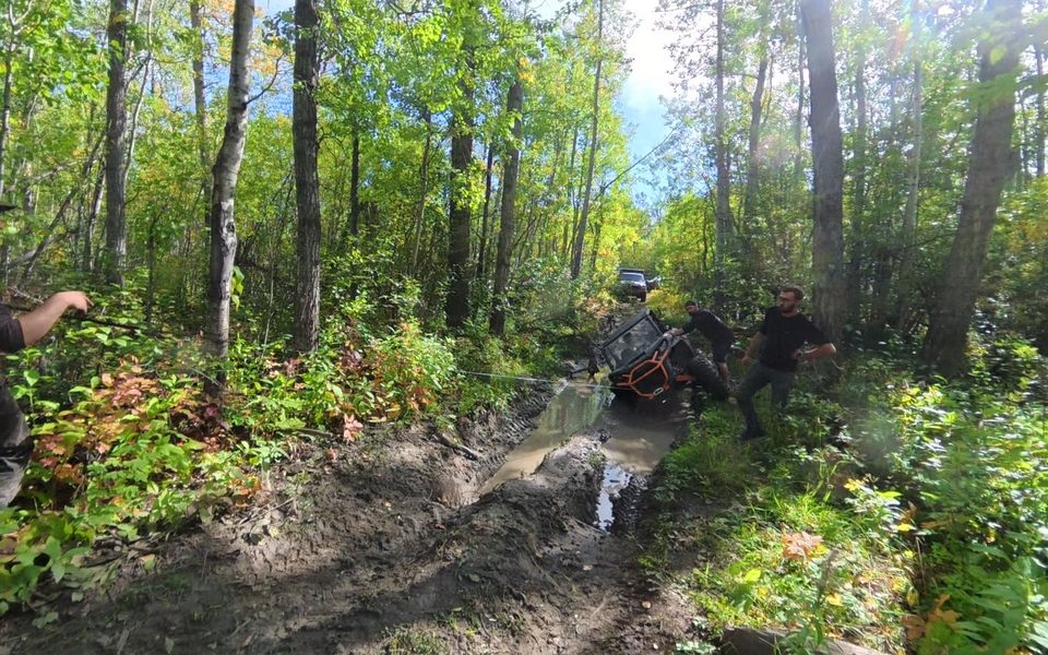
Stuck on Saskatoon Mountain
We tipped the Commander into a deep mud hole on a Saskatoon Mountain trail. How some new friends and a winch got us out, and what we carry for recovery.
Every trip we take gets its own guide. Start with the others around Grande Prairie.
Check for fire bans, know where the conservation area starts, stay on the trail, and leave time to sit by the river.