 Private proof
Wild Latitude
A private website proof prepared by Nine10 Marketing. Sign in to view.
© 2026 Nine10 Marketing · Confidential preview
Private proof
A private website proof prepared by Nine10 Marketing. Sign in to view.
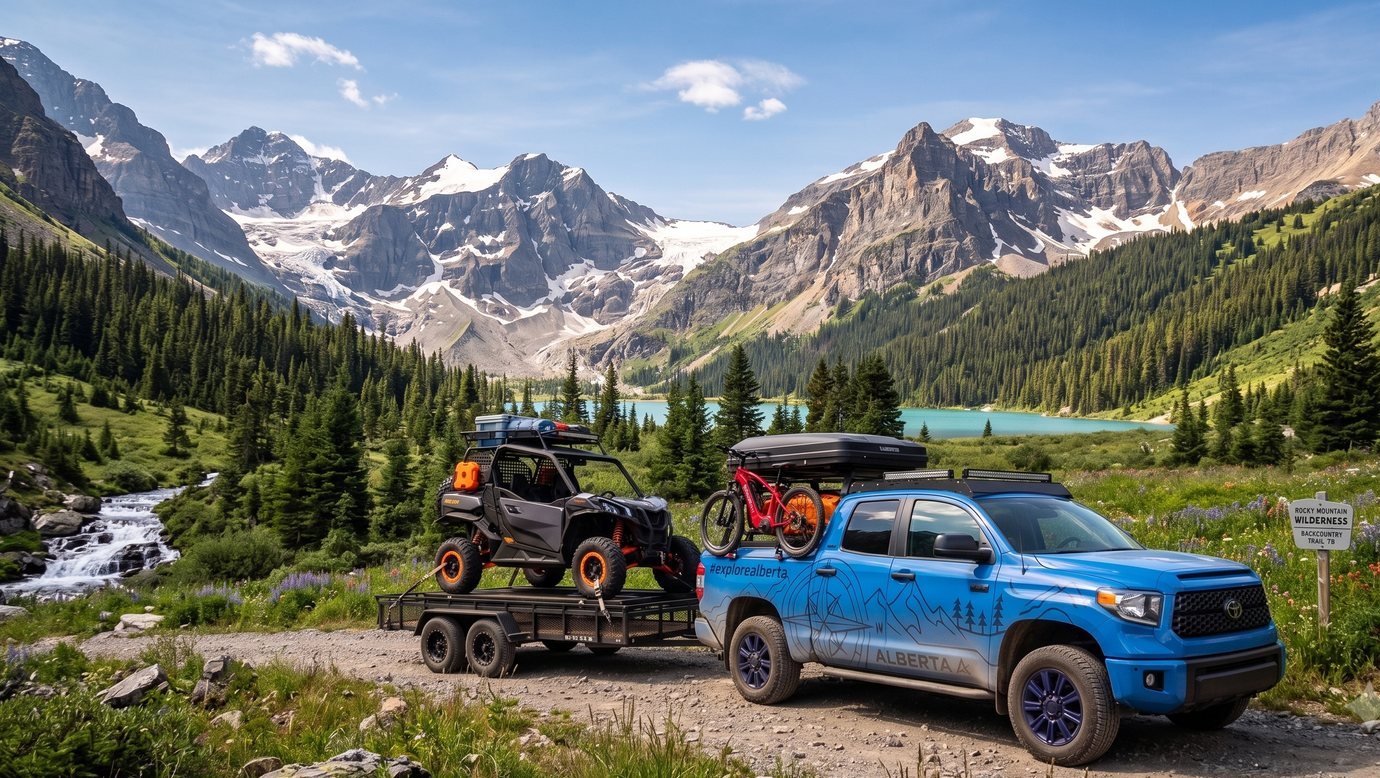
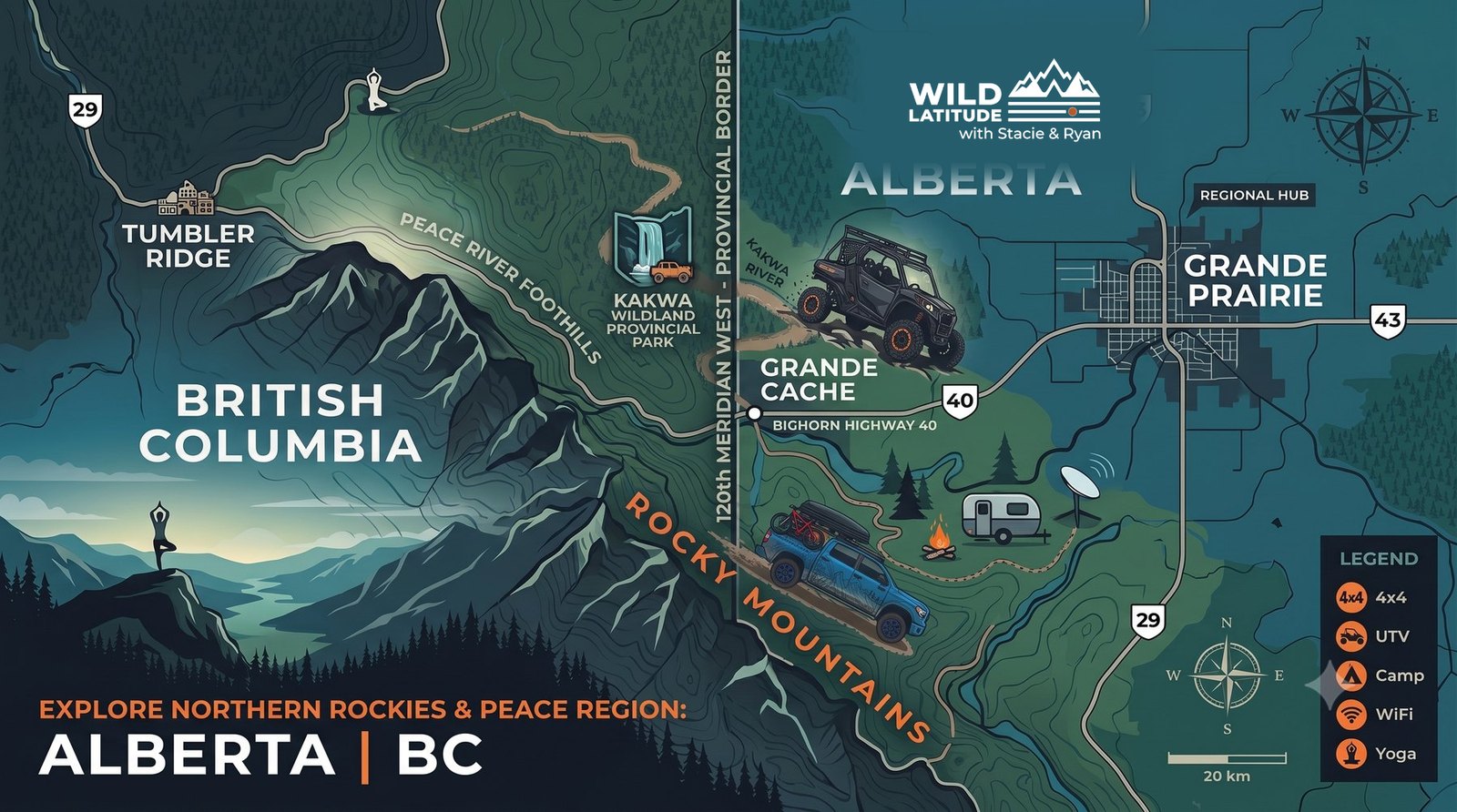
From Grande Prairie’s door down Highway 40 through the MD of Greenview: Grande Cache, the Kakwa, the Willmore boundary, and a district full of country beyond them. This is home ground, and we film all of it.


Every trip we take in northwestern Alberta gets its own guide: how to get there, the route, where to camp, what to know before you go, maps and official resources, and our own photos and film. Newest first.
Our first Alberta adventure guide is on the way. Until then, the region page has the stops we point the rig at and everything you need to plan.
Grande Cache anchors the route, and the district holds far more. Open a stop for the short version.
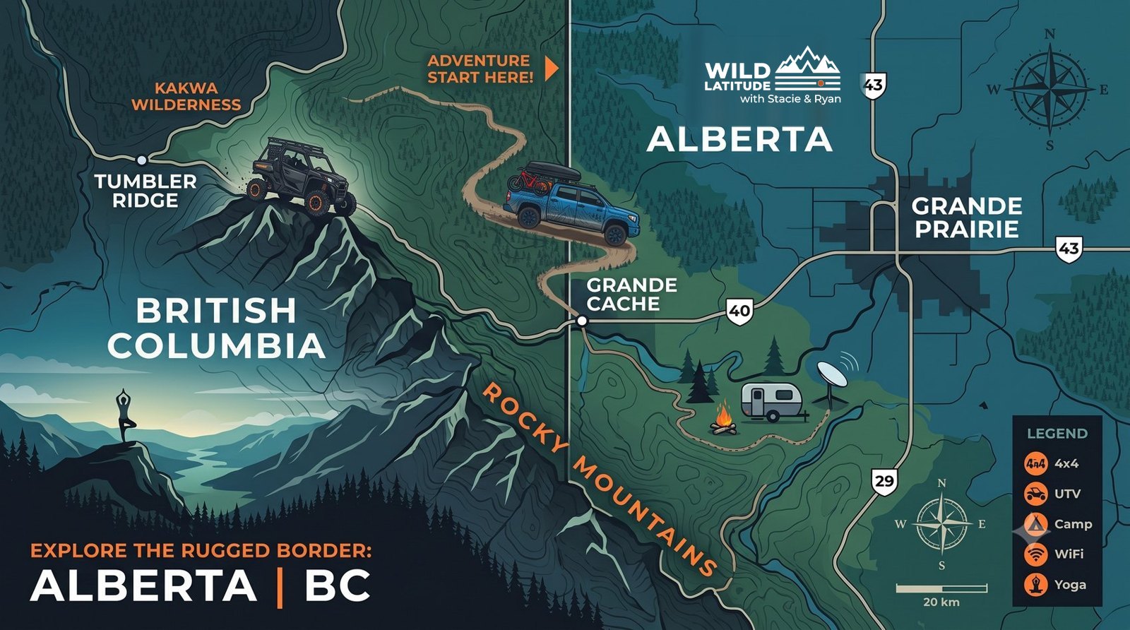
The mountain hamlet on Highway 40 and gateway to Willmore Wilderness Park: the adventure hub the whole district jumps off from.
The cliff-edged confluence of the Smoky and Sulphur Rivers, and the main staging area into the Willmore backcountry.
Alberta’s tallest waterfall, 30 m, at the end of a long backcountry route: the kind of trip the Commander was built for.
Cutlines, old logging roads, and alpine trails outside the park boundaries: the quadding, snowmobiling, and overlanding country.
Mountain lakes for paddling, fishing, and a quiet reset, where Stacie’s wellness sessions get filmed.
The closest taste of it: a lake day south of Grande Prairie on the Forestry Trunk Road, kayaks on the roof.
Where the motorized trails stop and foot, horse, and bike take over: 4,597 square kilometres of unspoiled mountain wilderness.
Sources: MD of Greenview, Grande Cache, Grande Cache Tourism Centre, Alberta Parks, Kakwa Wildland, Alberta Parks, Willmore Wilderness.
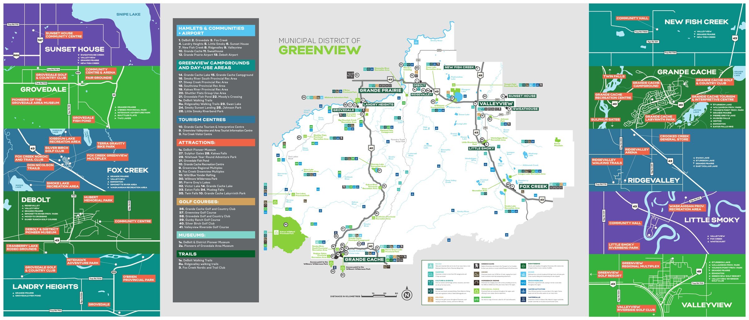
The stops above are our route. This is the country they sit inside: the Municipal District of Greenview No. 16, from Sunset House and Grovedale in the north, through Grande Prairie’s doorstep, down Highway 40 to Grande Cache, Sulphur Gates, and the Willmore boundary.
Greenview’s own tourism film, shot in the country we point the rig at: the mountains around Grande Cache, the lakes, and the backcountry that makes this Alberta’s backyard wilderness.
The Greenview Tourism Playlist
The essentials we sort before every trip, each linked to the right place to start.
 Pass
PassAdults random camping on public land from Grande Prairie south, and in Willmore Wilderness Park, need an Alberta Public Lands Camping Pass: $20 for 3 days or $30 a year. Stay up to 14 days, then move at least 1 km. →
TrailsOver 2,700 km of trails in the district, with the Willmore staging at Sulphur Gates. Start from the Grande Cache community page. →
PlanWhat you need before you go, so a first trip into the backcountry starts right and stays legal. GPRTA’s planning hub covers it. →
StartFor visitors and locals alike: the easiest first trips into Grande Cache and the communities around it, straight from the district’s guide. →
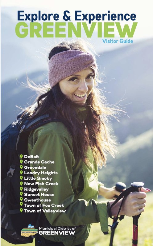
Greenview’s own guide to the whole district: the hamlets, campgrounds, day-use areas, trails, and where to start in each community, from DeBolt and Grovedale to Grande Cache and the Willmore boundary. The companion to everything in the films.
Free · MD of Greenview & Grande Prairie Regional Tourism
We’re proud to promote this country, and a lot of our itineraries start with the organizations that know it best. Grande Prairie Regional Tourism markets the region, untapped, unfiltered, unforgettable, and the MD of Greenview’s own guides cover the district from Sunset House and Grovedale down to Grande Cache.
The non-profit destination marketing organization for the Grande Prairie region, with visitor information, travel guides, and trip-planning help for Grande Prairie, Sexsmith, Beaverlodge, Wembley, Valleyview, and the County of Grande Prairie.
gptourism.ca →Runs the Valleyview and Grande Cache visitor centres, municipal campgrounds, day-use areas, and trails, and publishes the Greenview Visitor Guide for hiking, riding, fishing, and winter trips across the district.
mdgreenview.ab.ca →Maps, travel information, a museum with Ice Age artifacts and dinosaur tracks, and an art gallery, open daily. Call 780-827-3300.
Grande Cache Tourism Centre →
Manages Kakwa Wildland Provincial Park, home to Alberta’s tallest waterfall, and Willmore Wilderness Park. Check access and trail conditions before a Kakwa trip.
Kakwa Wildland Provincial Park →Follow the films as the season rolls out from Grande Prairie down Highway 40, then go see it for yourself.
Adventure Guides