Km 12.5 · Valley
Sheep Creek
A trailhead with a spot to camp, just before our clearing.
Open in Google Maps →
Old mining roads climb from Beaverdam Road to an open alpine plateau above Grande Cache, with backcountry campsites along the way and bighorn sheep on the cliffs. Here is how to ride it, where to camp, and our photos, maps, and drone clips from three days in September 2026.
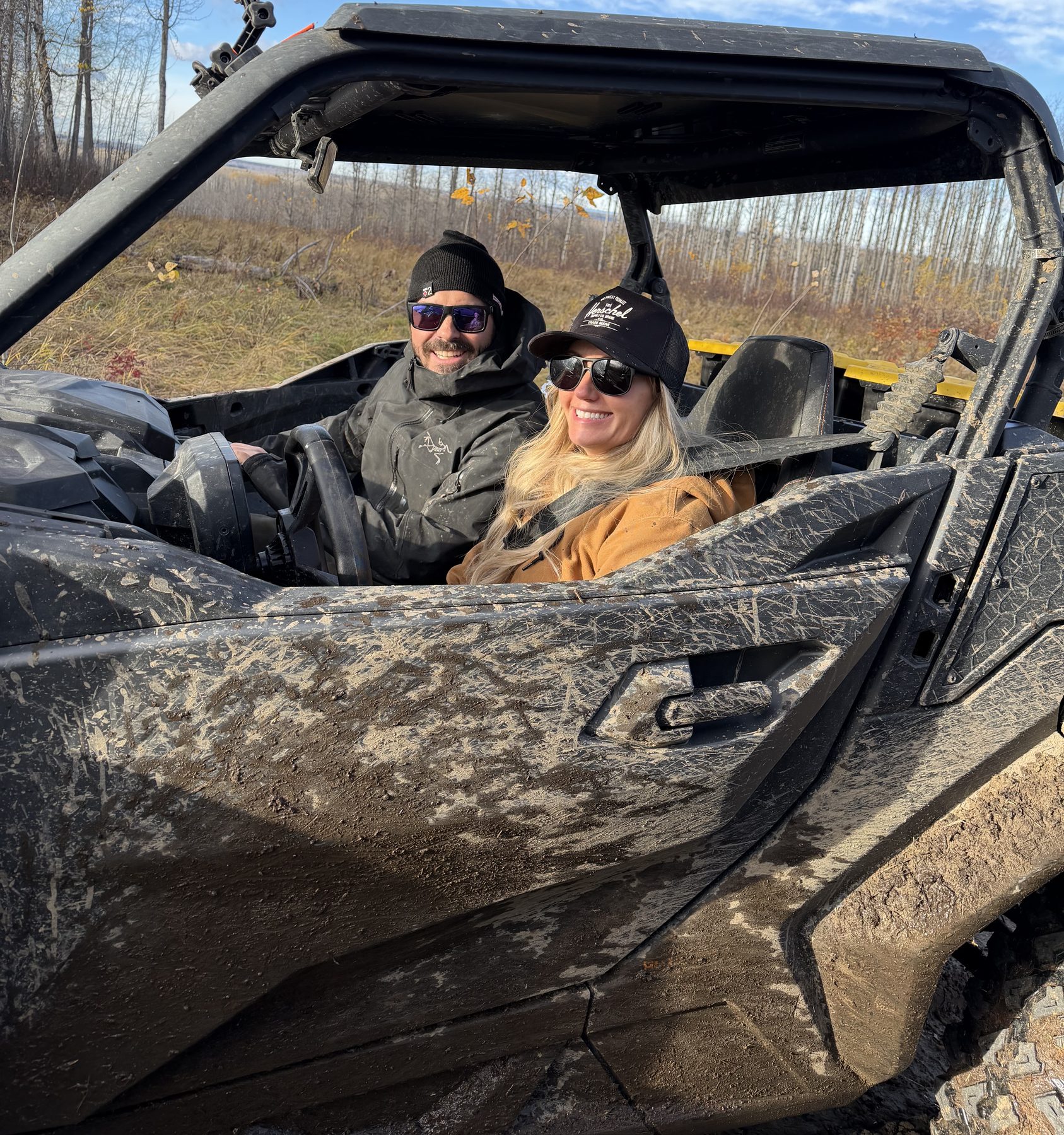
Caw Ridge is an alpine ridgeline north-west of Grande Cache, reached by old coal exploration roads off Beaverdam Road. The MD of Greenview lists it as a quad route, and RidersWest calls it a pleasant outing for riders of all skill levels.
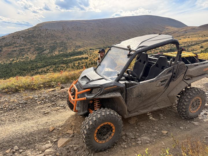
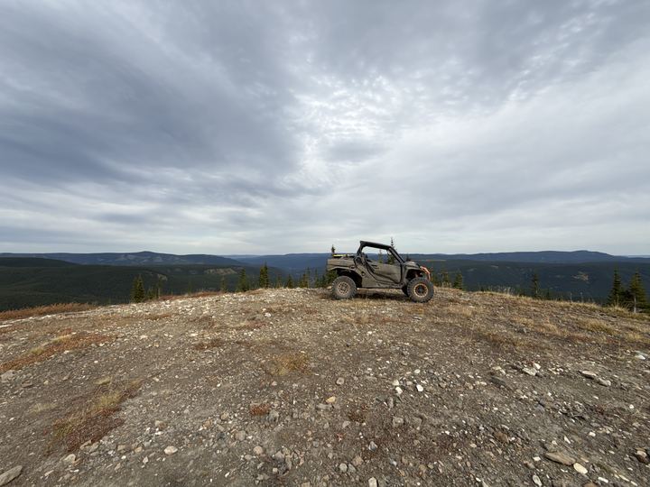
We based ourselves in a big clearing about 14 km up Beaverdam Road and rode our Can-Am Commander to the top. Our recorded ride from camp to the second high point was 38 km, topping out at 2,131 m. The next day we rode further south along the ridge, to 2,154 m. Up top, the road runs across open tundra with views in every direction.
Along the way we marked six places to camp, from a fire pit with log benches beside a creek to a high alpine spot on the plateau. They are all in Campsites, and on the Avenza map in Maps & GPX.
Source: MD of Greenview, Quadding and Snowmobiling (atv / quad).
Sources: MD of Greenview, Quadding and Snowmobiling, RidersWest (2023), Government of Alberta, Public Lands Camping Pass (our campsites checked against its boundary map), Caw Ridge field guide (Treaty 8). Distances and elevations are from our own GPS track.
The best moments from our three days on Caw Ridge, in one post: big mountain views, hidden campsites, the ride up, and nights by the fire. Swipe through the photos and videos right here, or open the post on Instagram to like it, comment, and follow along.
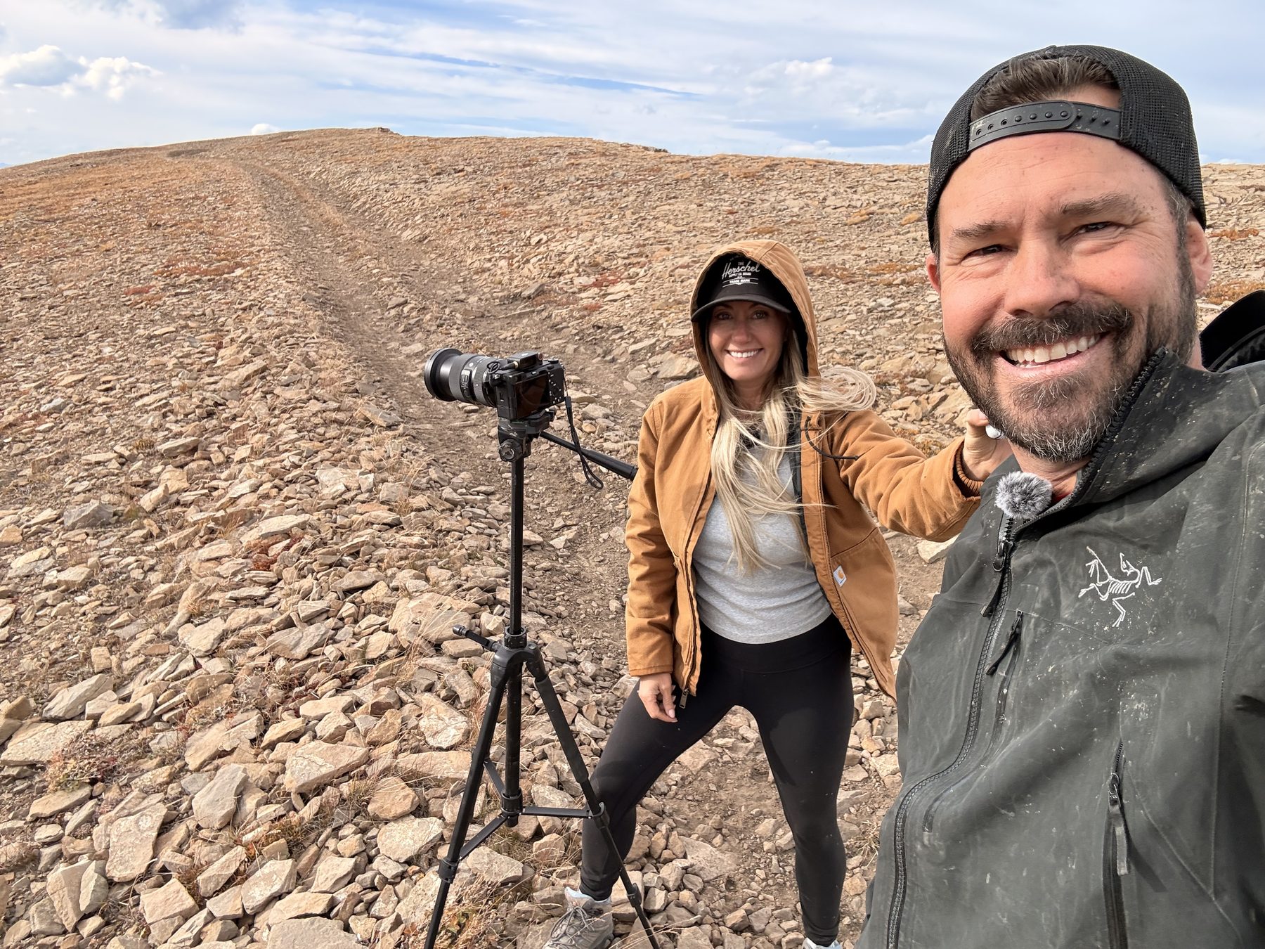 Photos and videos from @wildlatitudeco. Instagram loads when you tap.
Caw Ridge starts on Beaverdam Road, just north of town on Highway 40. Fuel up before you unload: Grande Cache does not allow quads and dirt bikes to fill up at gas stations, so bring a gas can.
Highway and mine directions from the MD of Greenview. Kilometres are from our own GPS track, measured from the Highway 40 turnoff; odometers vary.
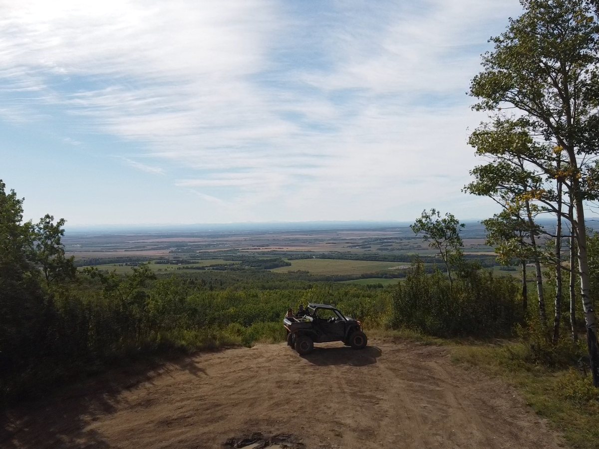
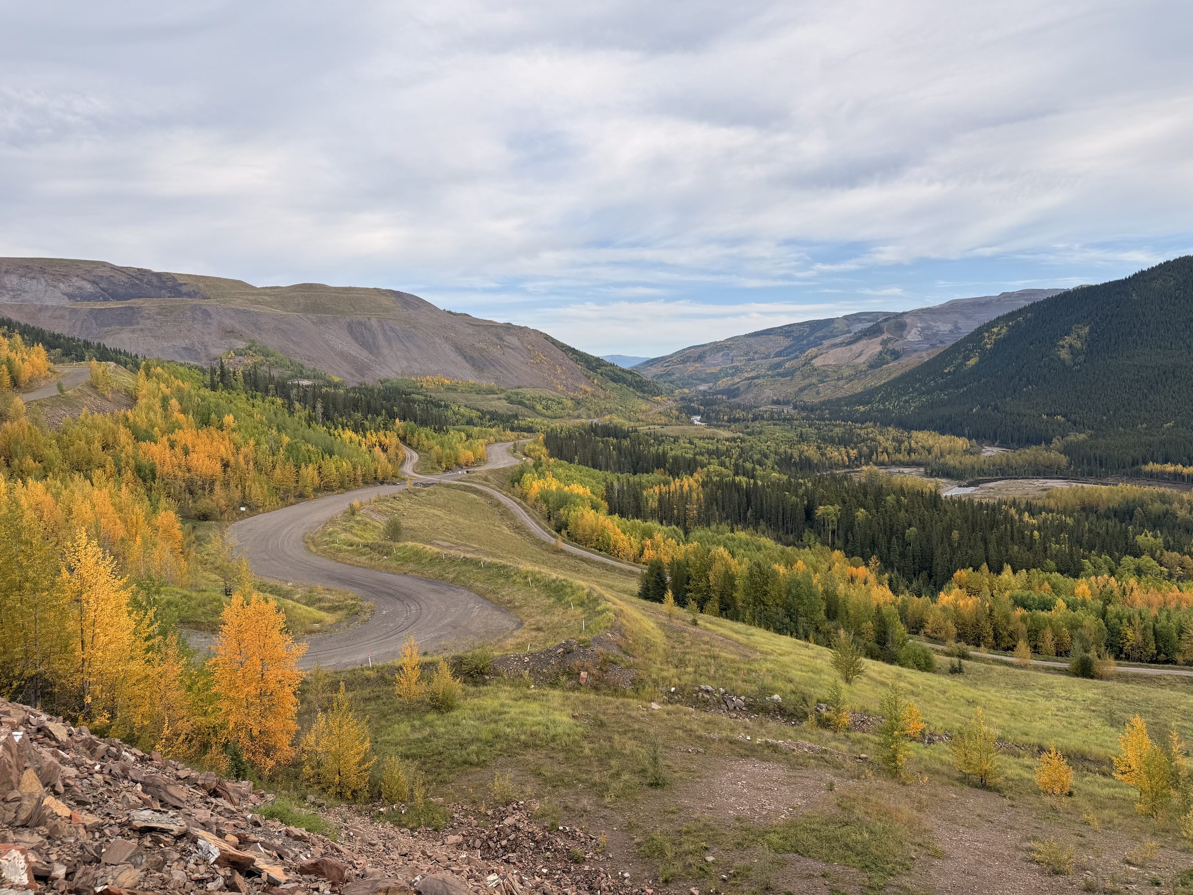
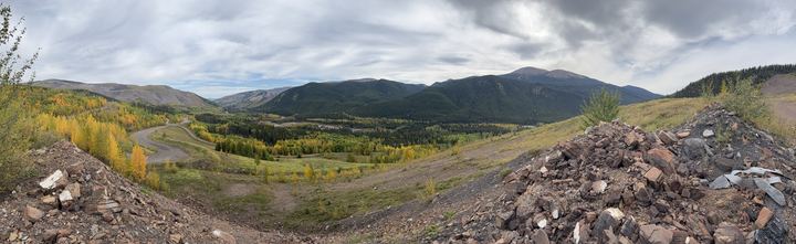
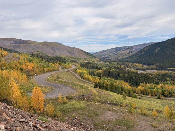
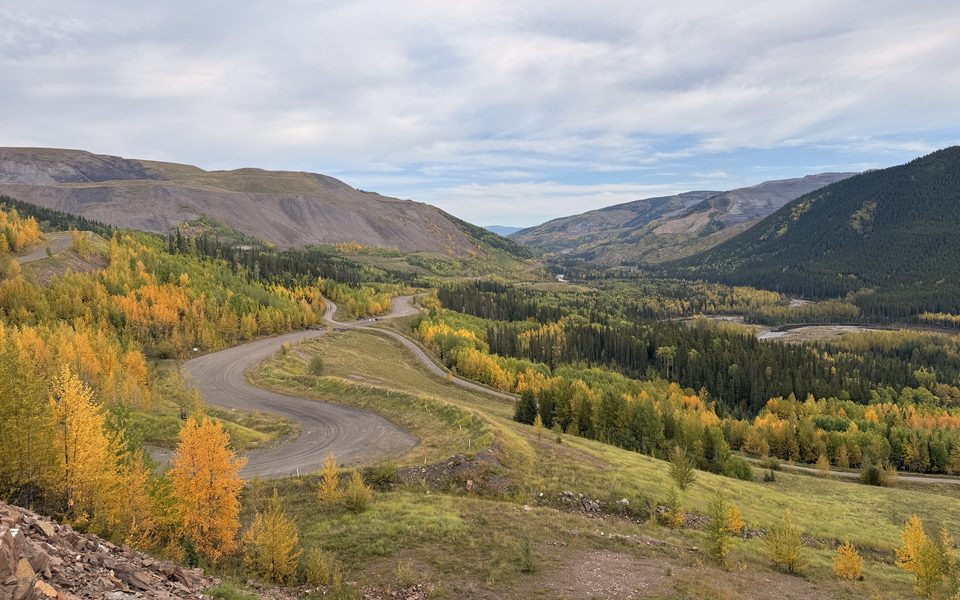
The road switchbacks up from the valley floor, and the view opens over the mine country and the mountains around Grande Cache.
Every stop we marked on the way up, in order, with the kilometre from the Highway 40 turnoff. Scroll through it, or open the same waypoints on the map in Maps & GPX.
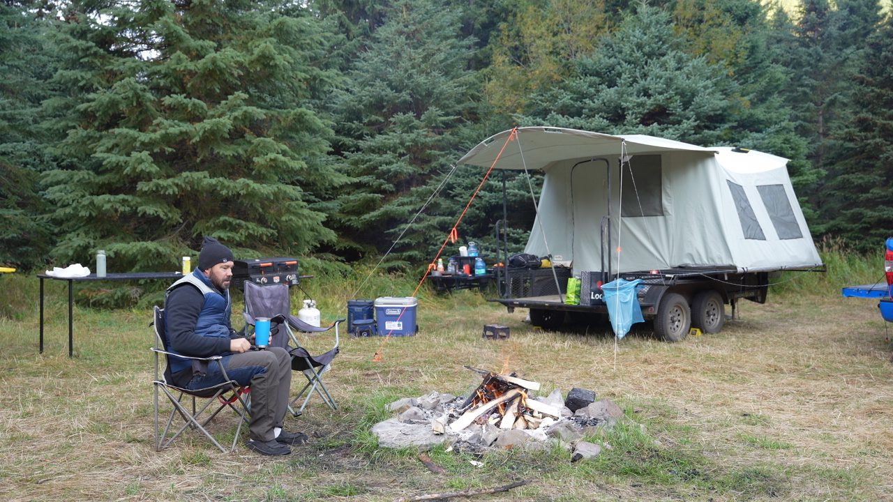
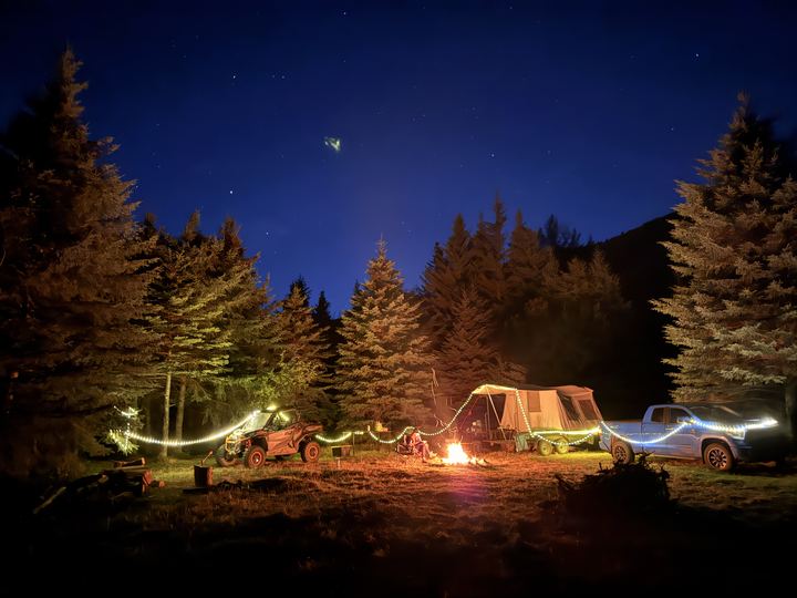
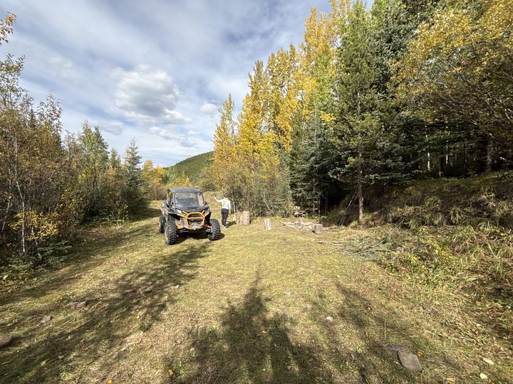
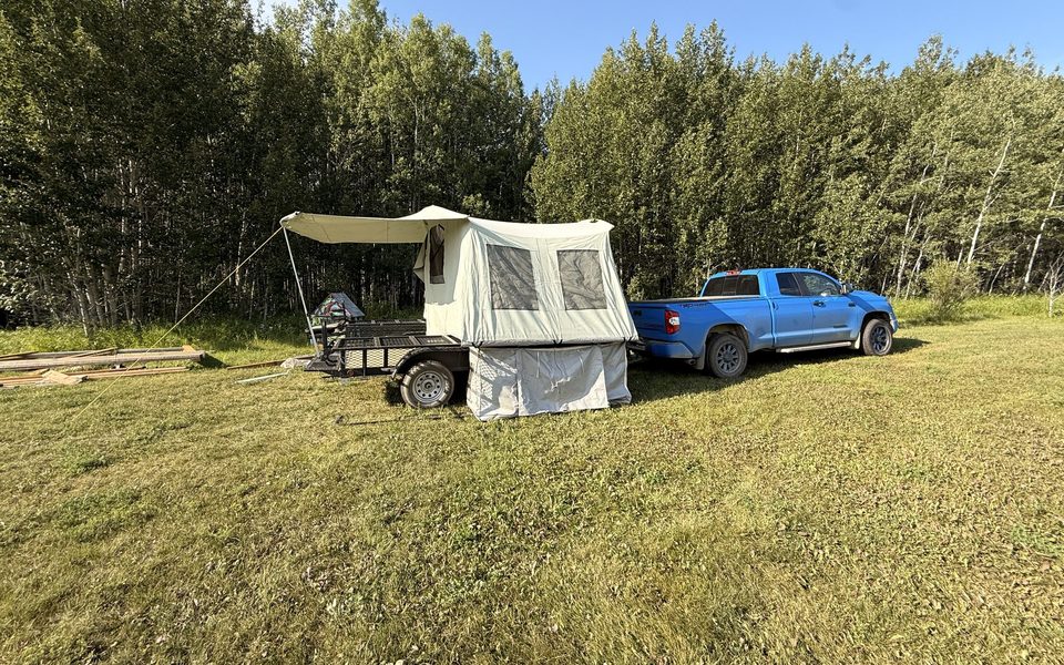
A large, flat clearing just off Beaverdam Road with room for a truck, trailer, and side-by-side. We camped here two nights and rode up to the ridge from here each day.
The road climbs above the valley here. Pull over on the rock pile for the view down over the switchbacks, gold with autumn colour in mid-September.
The road splits. Stay left for Caw Ridge.
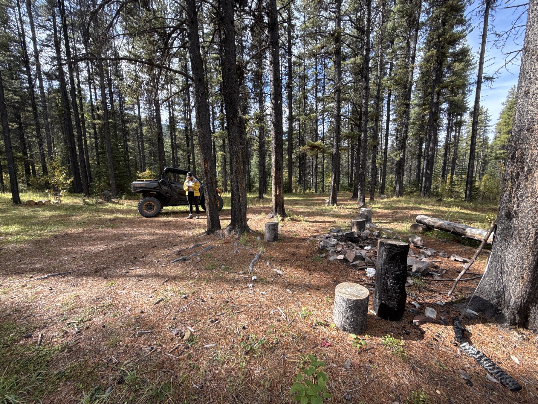
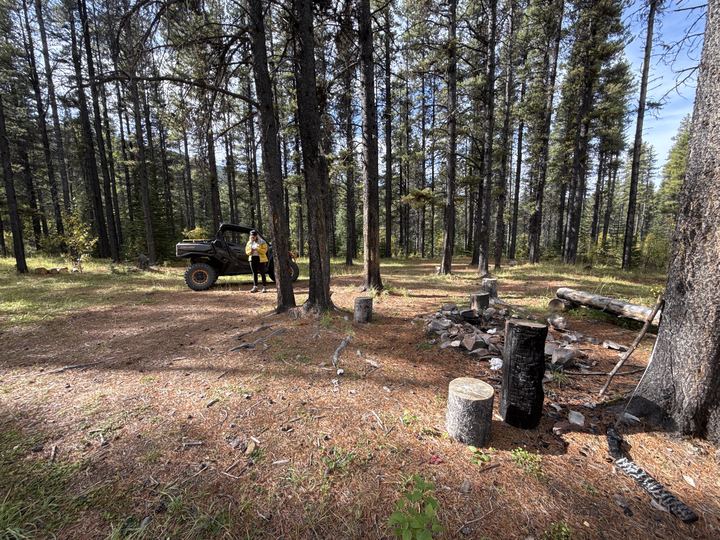
A perfect spot for an overnight, already set up with a fire pit and log benches in an open pine stand. There is easily room for four or five tents, and it is amazing if you have it to yourself.
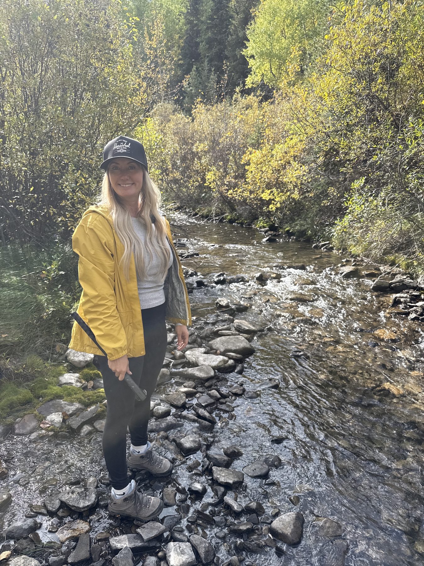
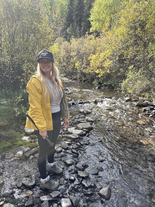
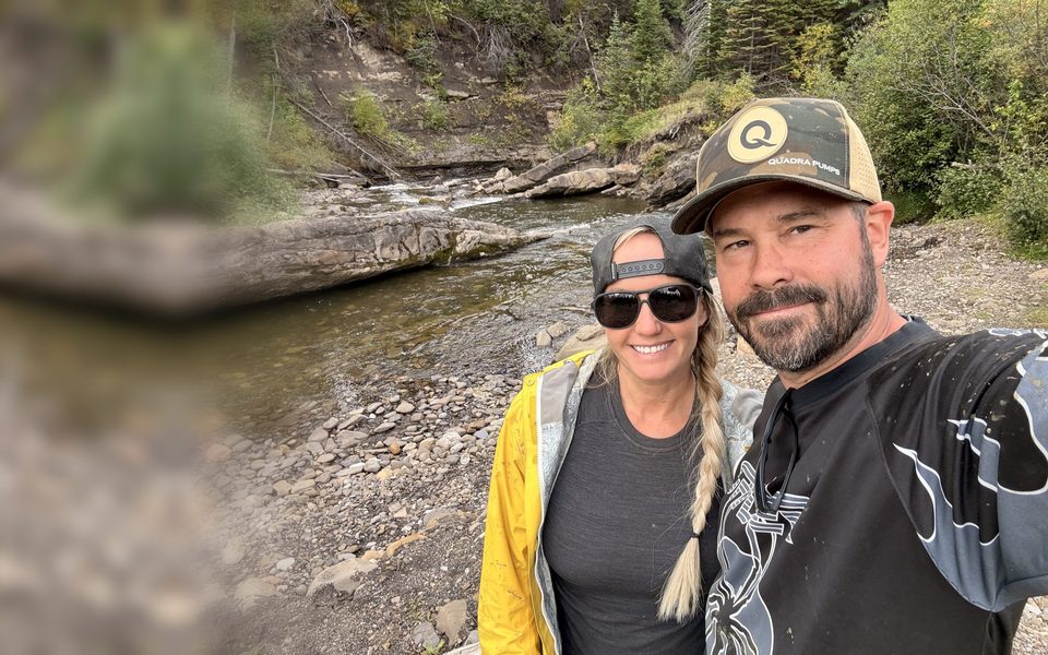
A clear, rocky creek just past Jackpot. We stopped to rock-hop and stretch our legs.
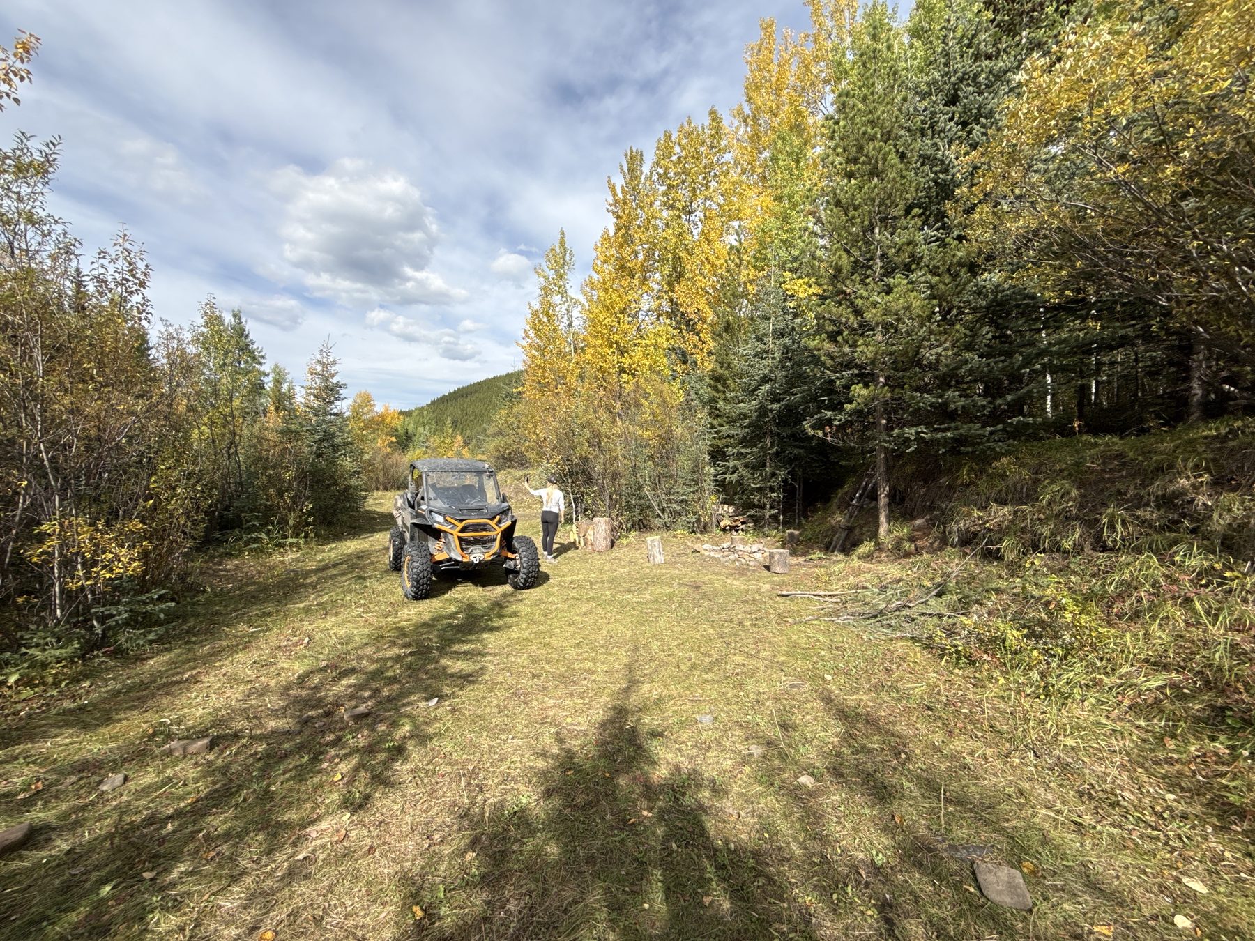
A gorgeous little campsite just off the small stream that runs down the trail. The trail opens up into a grassy clearing with a fire pit.
Take the left fork to Caw Ridge. Just past it, the main trail had washed out badly enough that it was dangerous to pass, so a secondary trail drops through the rocky creek bed. It was no issue for us with low water in mid-September. Soon after, a viewpoint looks out over forested valleys.
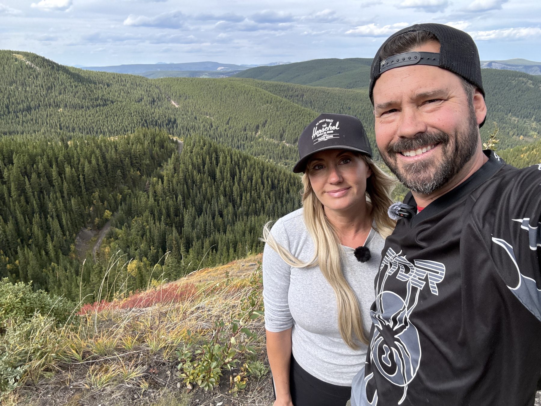
At a small fork in the road, we took the left branch up onto the open ridgetop.
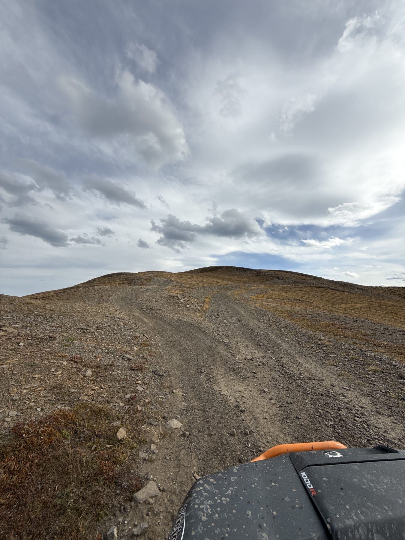
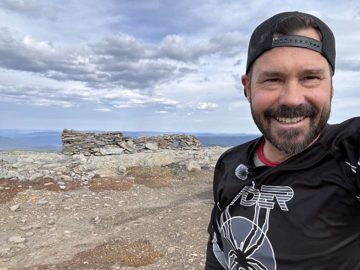
The first high point on the ridge, beside a low wall of stacked stones, with views across the plateau.
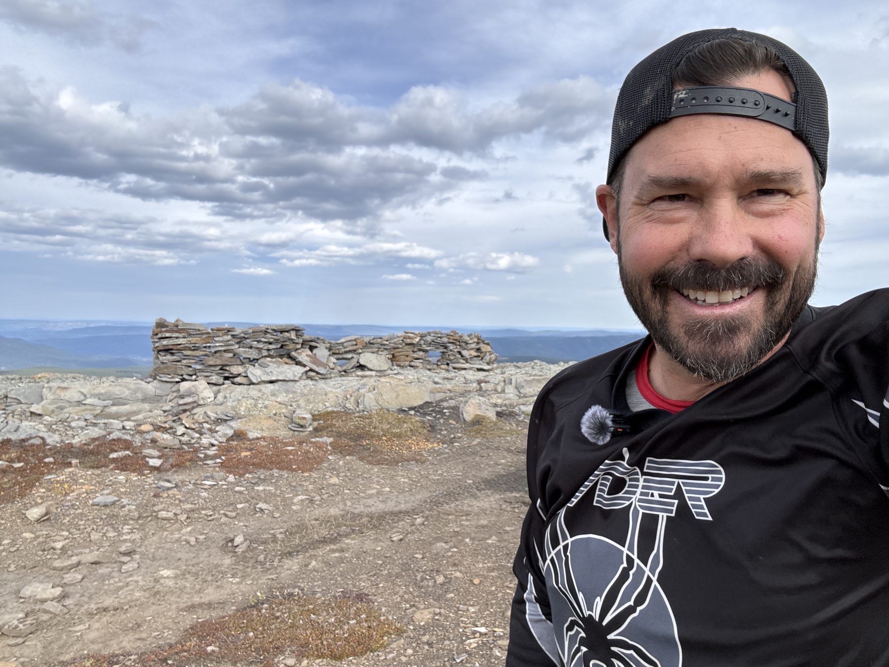
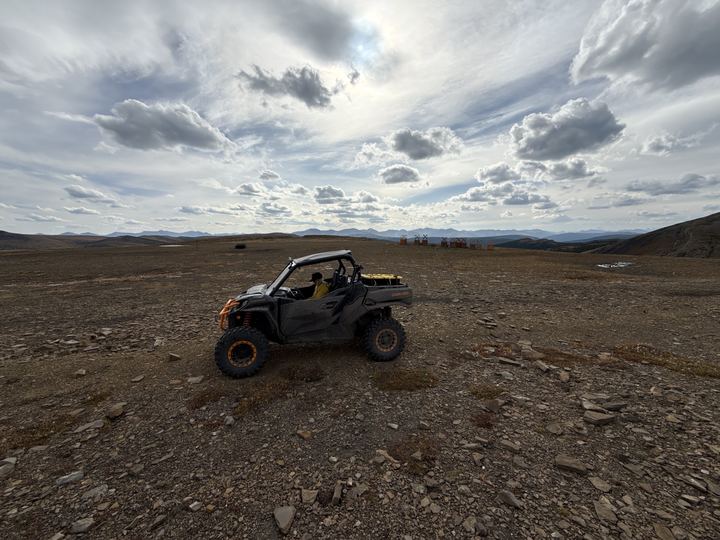
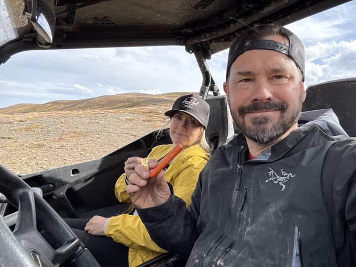
We were getting hangry, so we grabbed a bite to eat here in the wind, tucked inside the side-by-side.
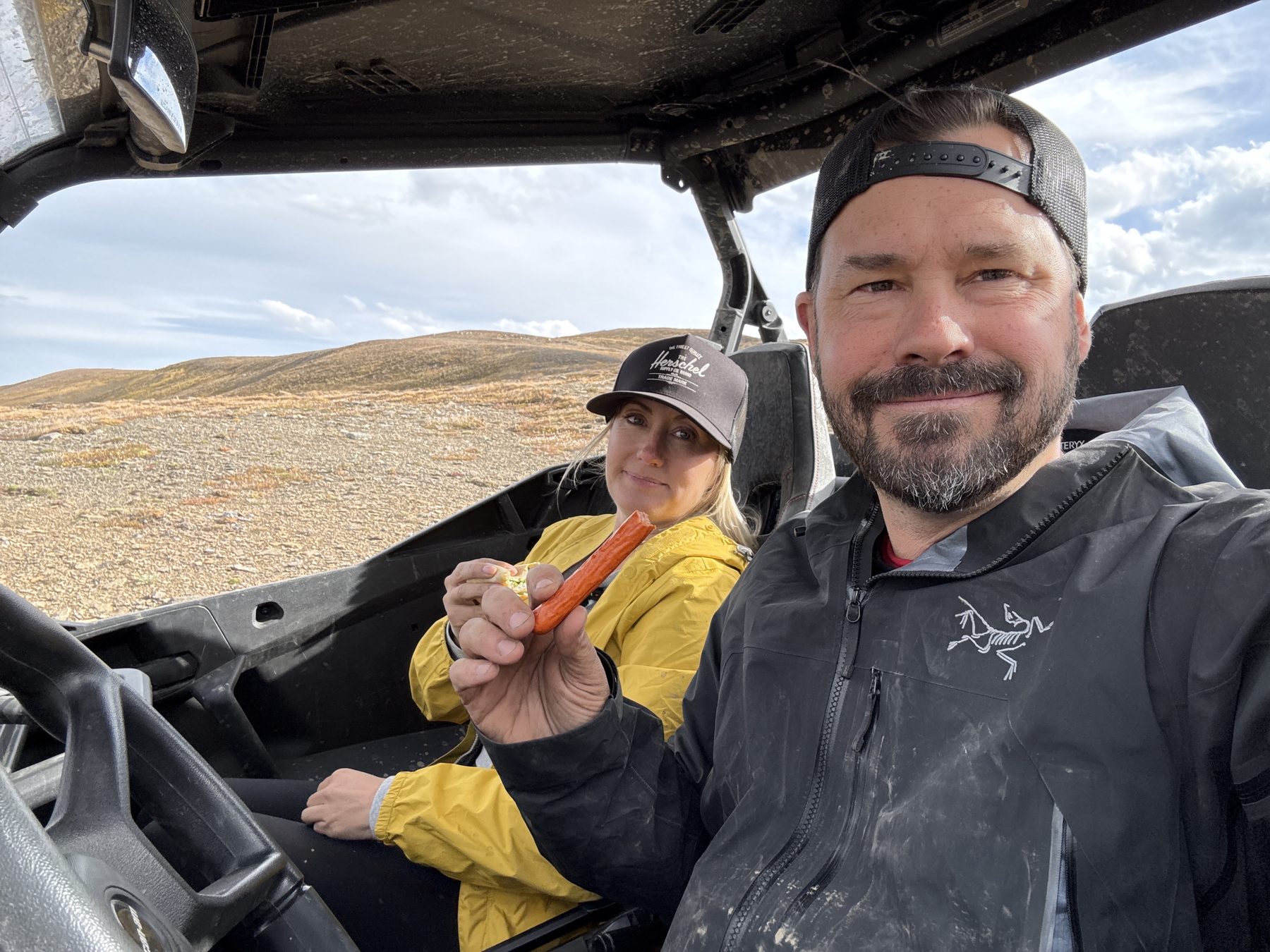
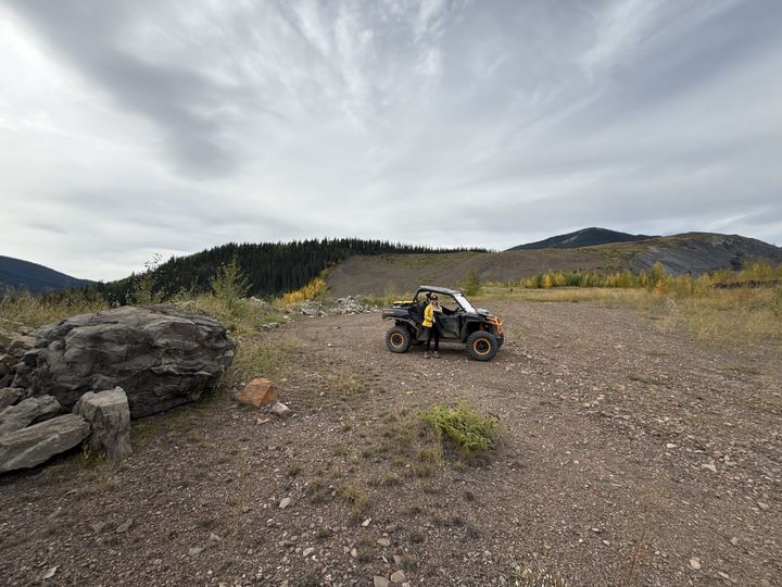
Our turnaround: open, rocky tundra with the road running on across the plateau and mountains on the horizon.
Waypoints, notes, and kilometres are from our own Avenza Maps and Gaia GPS recordings, September 18 to 20, 2026. The “stay left” split matches the MD of Greenview’s directions to turn left for Caw Ridge about 30 km up Beaverdam Road. Respect the fragile alpine and stay on the existing roads.
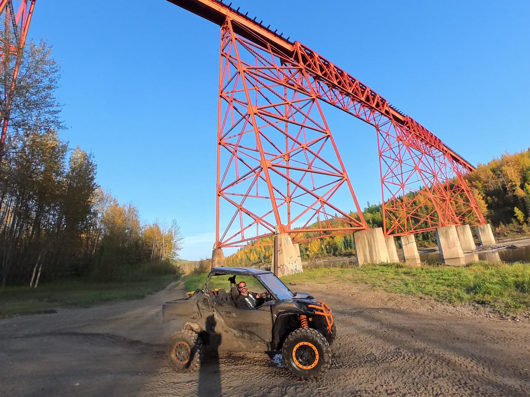
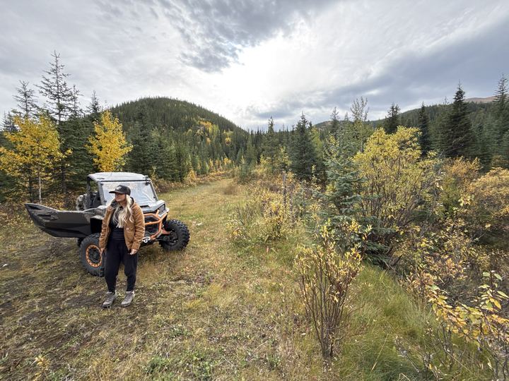
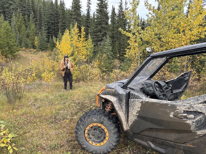
Old mining roads wind up through spruce and autumn colour toward the open ridge.
We tracked Caw Ridge in three apps. Pick the one you use, explore the route and our waypoints on the map, and download the GPX to follow the same line.
Our Gaia GPS recordings from September 19 and 20, 2026: camp up to Peak #2 and back down, then a second ride south along the ridge to 2,154 m and back to camp.
Our tracks from September 18 to 20 and 21 waypoints: campsites, viewpoints, the creek detour, and the forks to take. Select a pin to read our note.
GPX is the standard file for sharing a GPS track: our route as a line of points, each with a position and an elevation. Import it into Trailforks, Gaia GPS, Avenza Maps, onX, Garmin Connect, or any app or handheld GPS that reads GPX, and you can follow the same line we rode. Download the map for offline use before you leave cell service, and carry a paper map and compass as backup.
There are no campgrounds on Caw Ridge, but there is plenty of room to random camp on public land along the way. These are the spots we found, from the valley to the alpine. Scroll on to see all six.
A trailhead with a spot to camp, just before our clearing.
Open in Google Maps →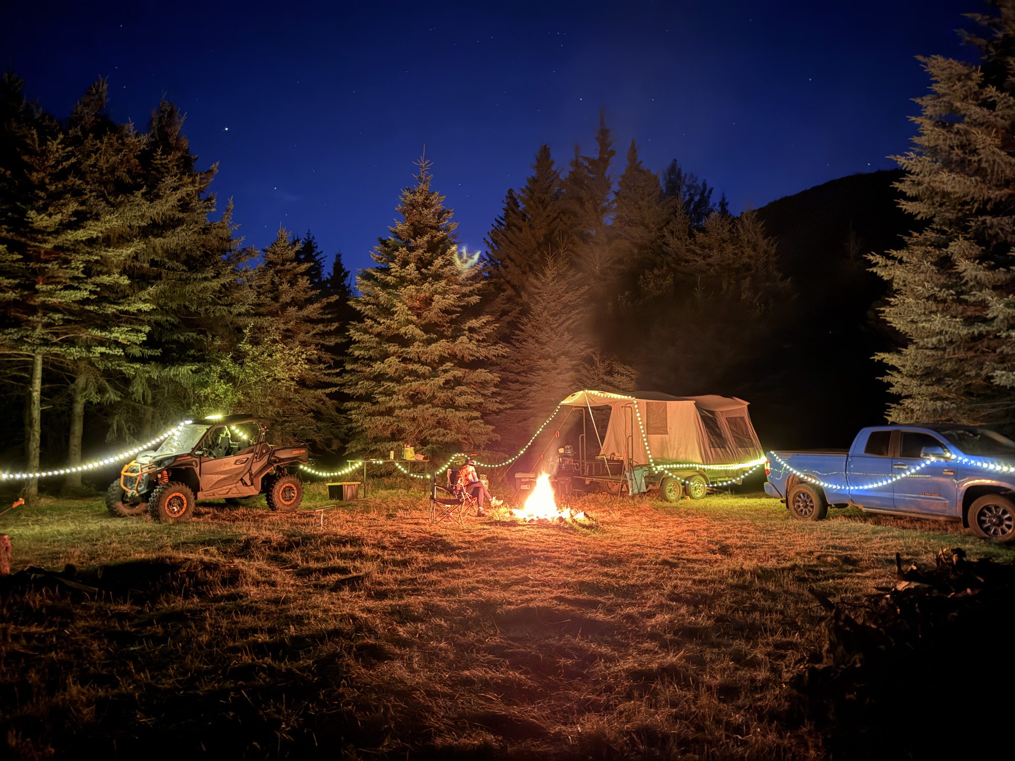
A large clearing just off Beaverdam Road. Flat, roomy, and easy to reach with a truck and trailer. Our home for two nights.
Open in Google Maps →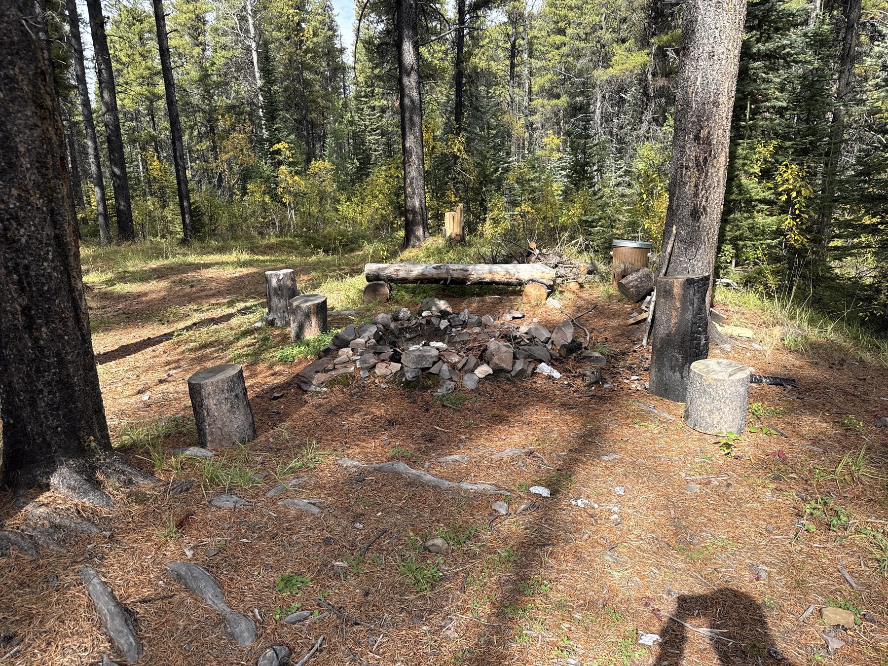
Already set up with a fire pit and log benches, with room for four or five tents. Amazing if you get it solo.
Open in Google Maps →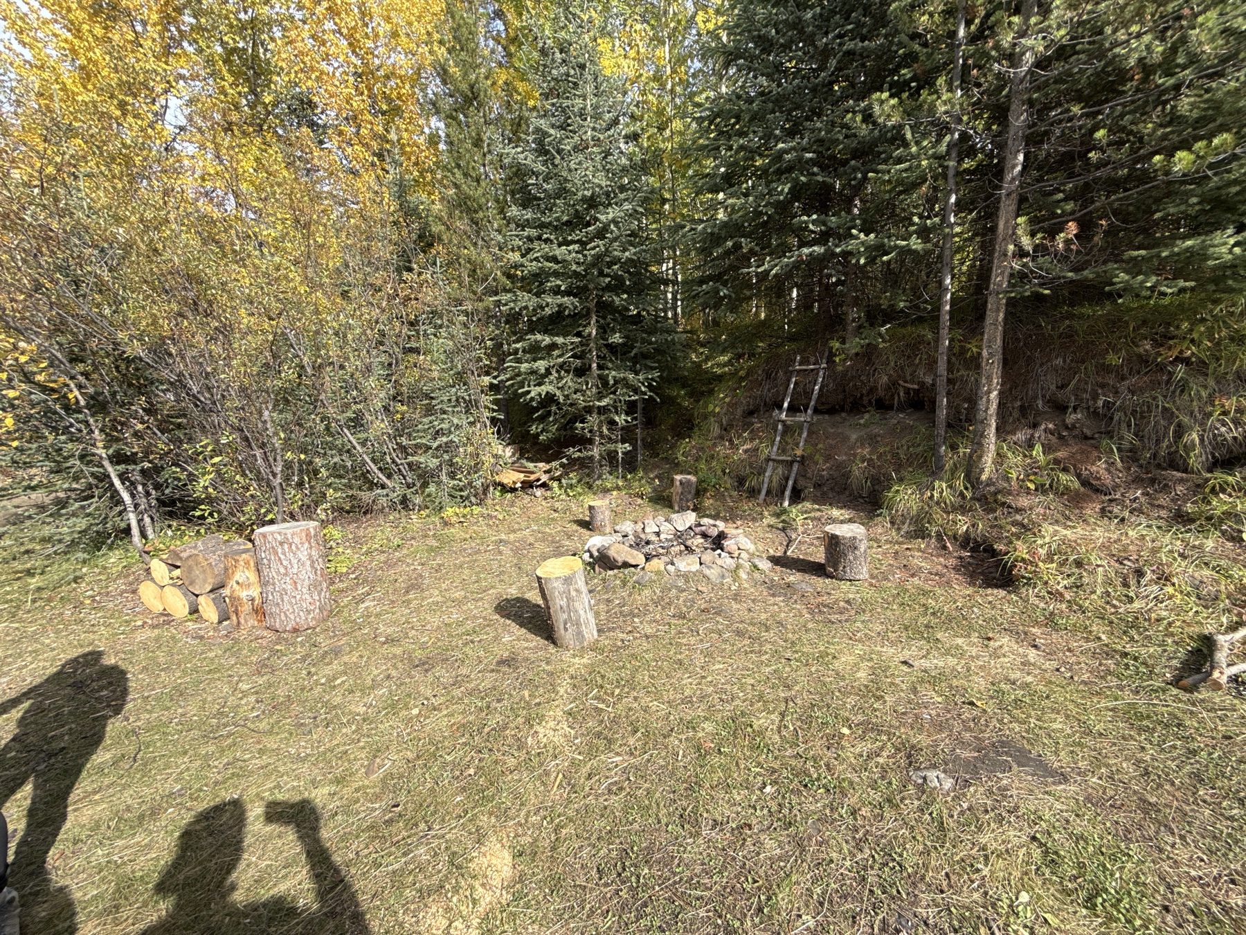
Just off the little stream that runs down the trail, opening up into a sheltered clearing.
Open in Google Maps →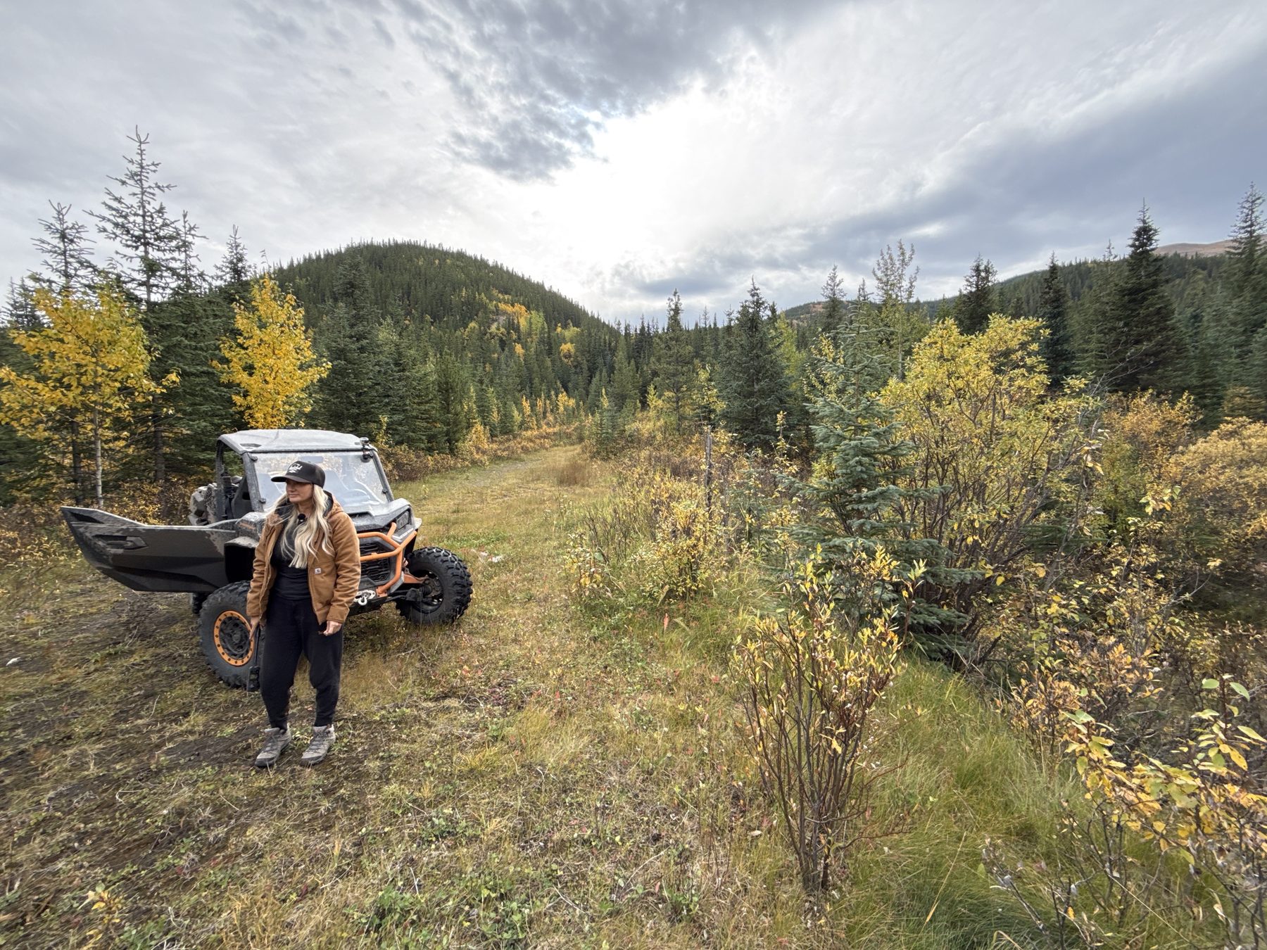
We missed the little turnoff the first time up. It drops down a hill, then opens into a nice campsite beside a stream.
Open in Google Maps →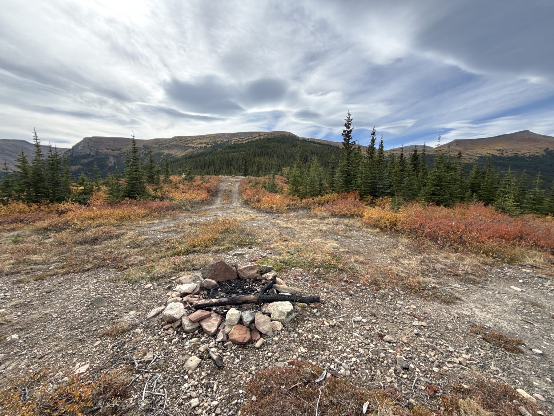
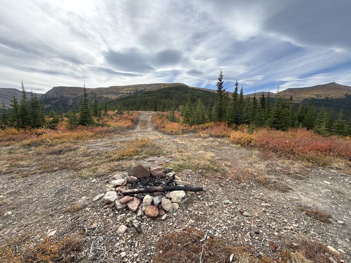
A stone fire ring up on the open alpine, with big views. Expect wind and cold up here.
Open in Google Maps →Sources: Government of Alberta, Public Lands Camping Pass (pass area checked against the government’s boundary map), MD of Greenview visitor guide, Alberta Parks, Sulphur Gates. Campsite notes and coordinates are from our own trip.
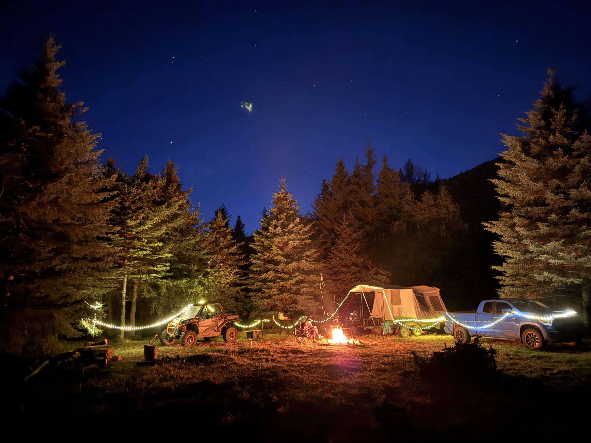
After each day on the ridge, we rode back down to our clearing off Beaverdam Road for a fire under the stars. Our reel from that night has had more than 10,000 likes on Instagram.

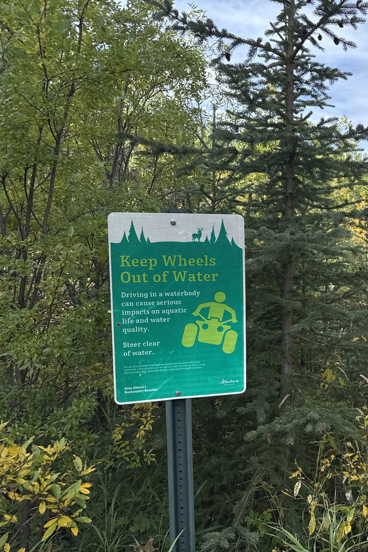
Sources: MD of Greenview, Quadding and Snowmobiling (rules, mine, parks), Caw Ridge field guide (wind and snow), and our own trip (signs, the creek detour, the cold). Check current conditions with the Grande Cache Tourism and Interpretive Centre before you go.
Weather, wildfire, and road conditions change quickly up here. These official sources open straight to the right place, so check them the day you head out.
 Forecast at Caw RidgeHour-by-hour Environment Canada model forecast for this exact spot, via SpotWX. Mountain weather can differ a lot from town.
 Grande Cache forecast and alertsThe official 7-day forecast for Grande Cache, with any active weather warnings.Weather alerts mapEvery active Environment Canada warning and advisory, on a map.
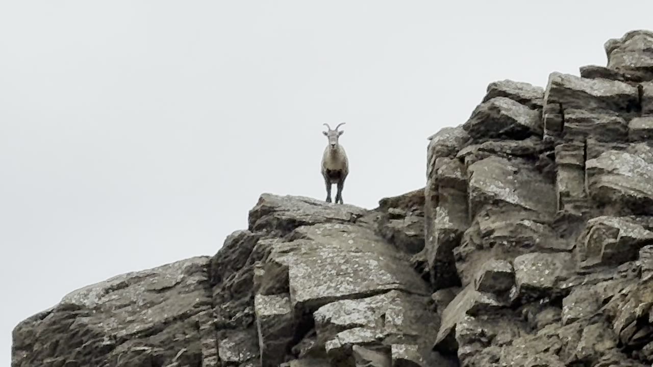
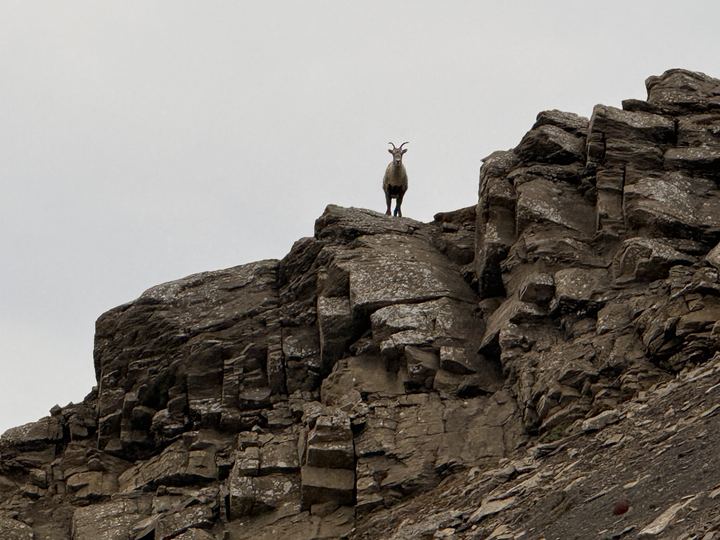
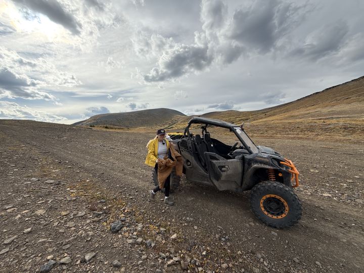
The road runs on below the cliff bands, across autumn tundra. Look up: this is where we found the bighorn sheep.
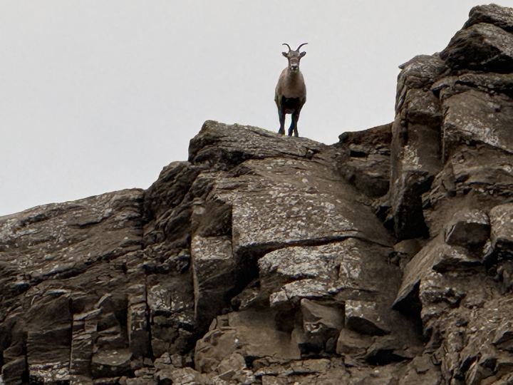
See the Bighorn SheepOn our third day, Stacie was sure she had spotted a bighorn sheep on the cliffs near the ridgetop. Ryan was skeptical. The video settles it: there it was, watching us from the top of a cliff band. We stayed by the side-by-side and let it be.
Caw Ridge is better known for its mountain goats: it is home to one of the longest-running studies of wild mountain goats in North America. It began in 1989, after goat numbers fell across west-central Alberta, and follows individual marked goats year after year. The goats live on about 28 km² of alpine tundra, short cliffs, and open forest between 1,750 and 2,170 m, and research found them sensitive to helicopter and ATV traffic. Stay on the roads and keep your distance.
The ridge is summer range for southern mountain caribou too. In 2025 the Government of Alberta’s draft Upper Smoky Sub-regional Plan proposed a conservation area covering Caw Ridge, Sulphur Ridge, and Coal, Horn, and Torrens Ridge.
Sources: Steeve Côté, Alberta Wilderness Association (2010), USDA Fire Effects Information System, Government of Alberta, Upper Smoky Sub-regional Plan, CPAWS Northern Alberta (2025).
Read About the Caw Ridge Goat Study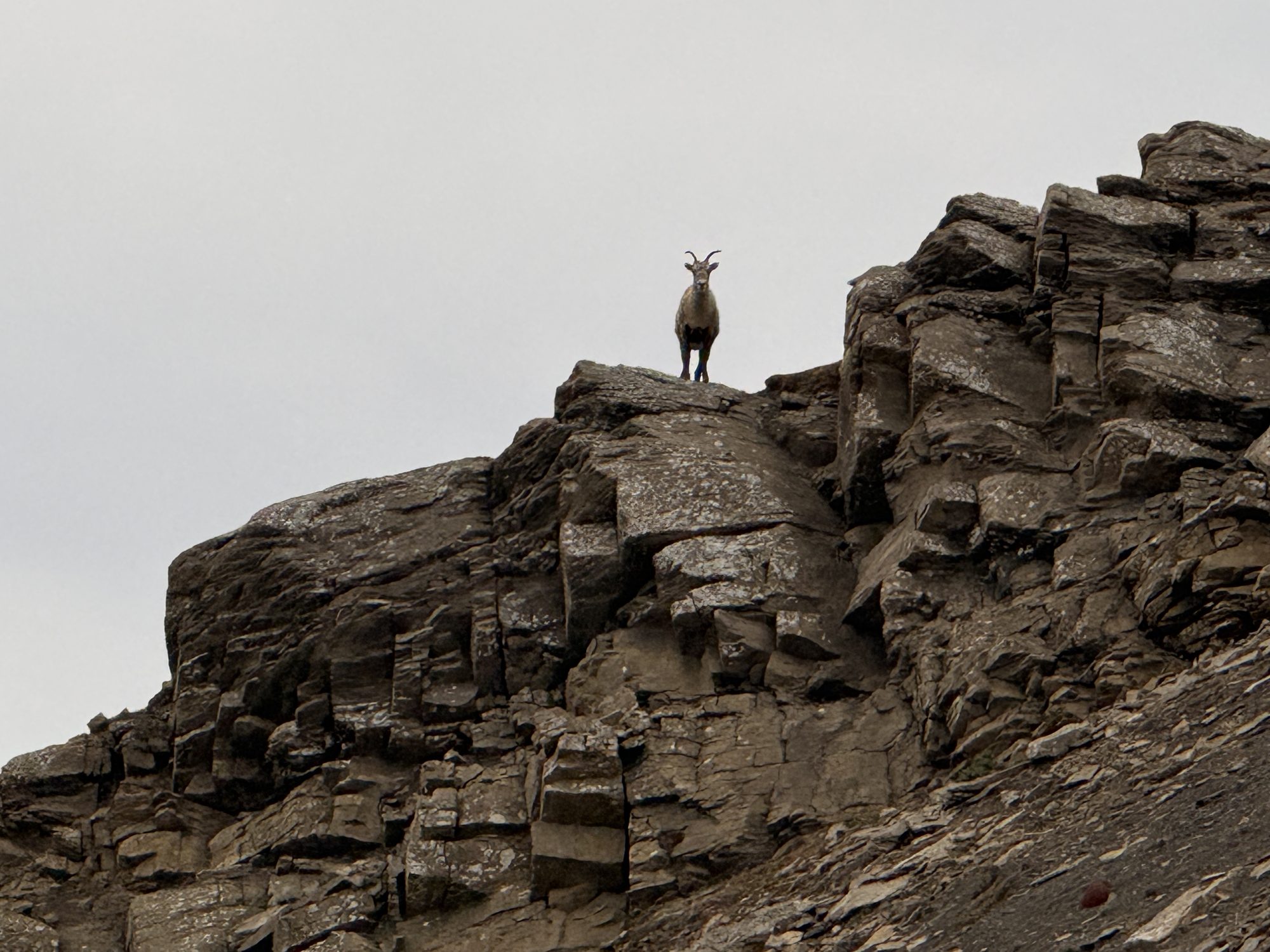
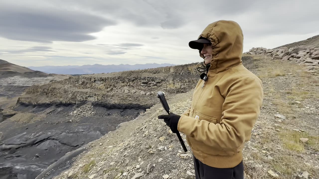
Three days, two nights in the valley, and two rides up to the alpine.
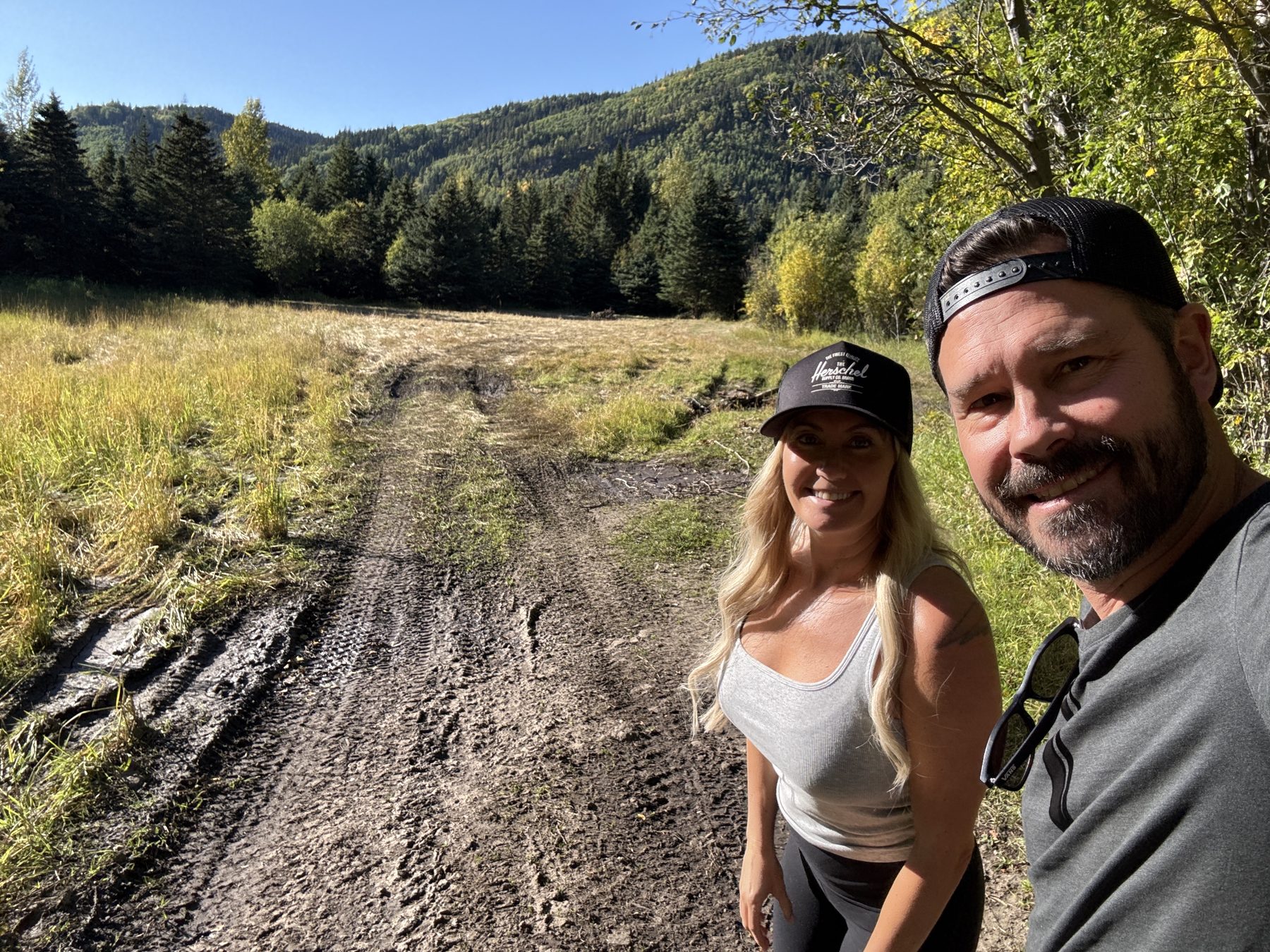
We turned off Highway 40 onto Beaverdam Road in the late afternoon, marking the Mount Hamel, Ambler Mountain, and Sheep Creek trailheads on the way, and set up camp in the big clearing about 14 km in. String lights on the side-by-side, a fire going, and a clear, starry night.
We left camp just before 1 p.m. and took our time: the Beaverdam valley viewpoint, Jackpot Campsite, Beautiful Creek, and the Hidden Campsite, then the creek detour around the washout and a viewpoint over the valleys.
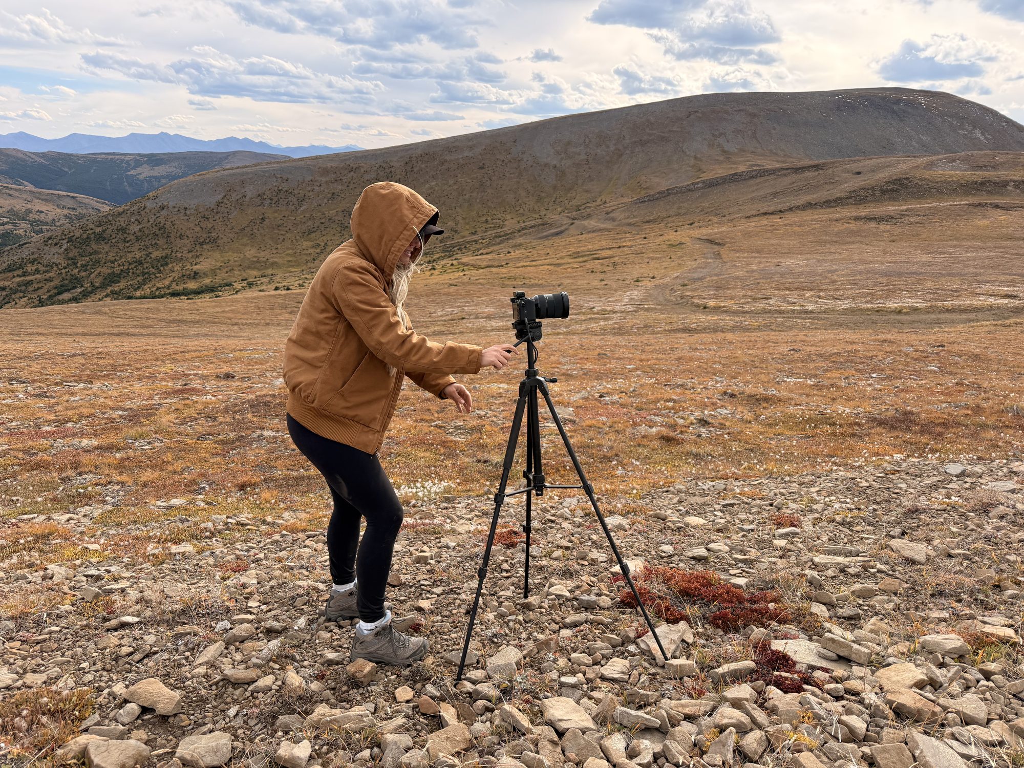
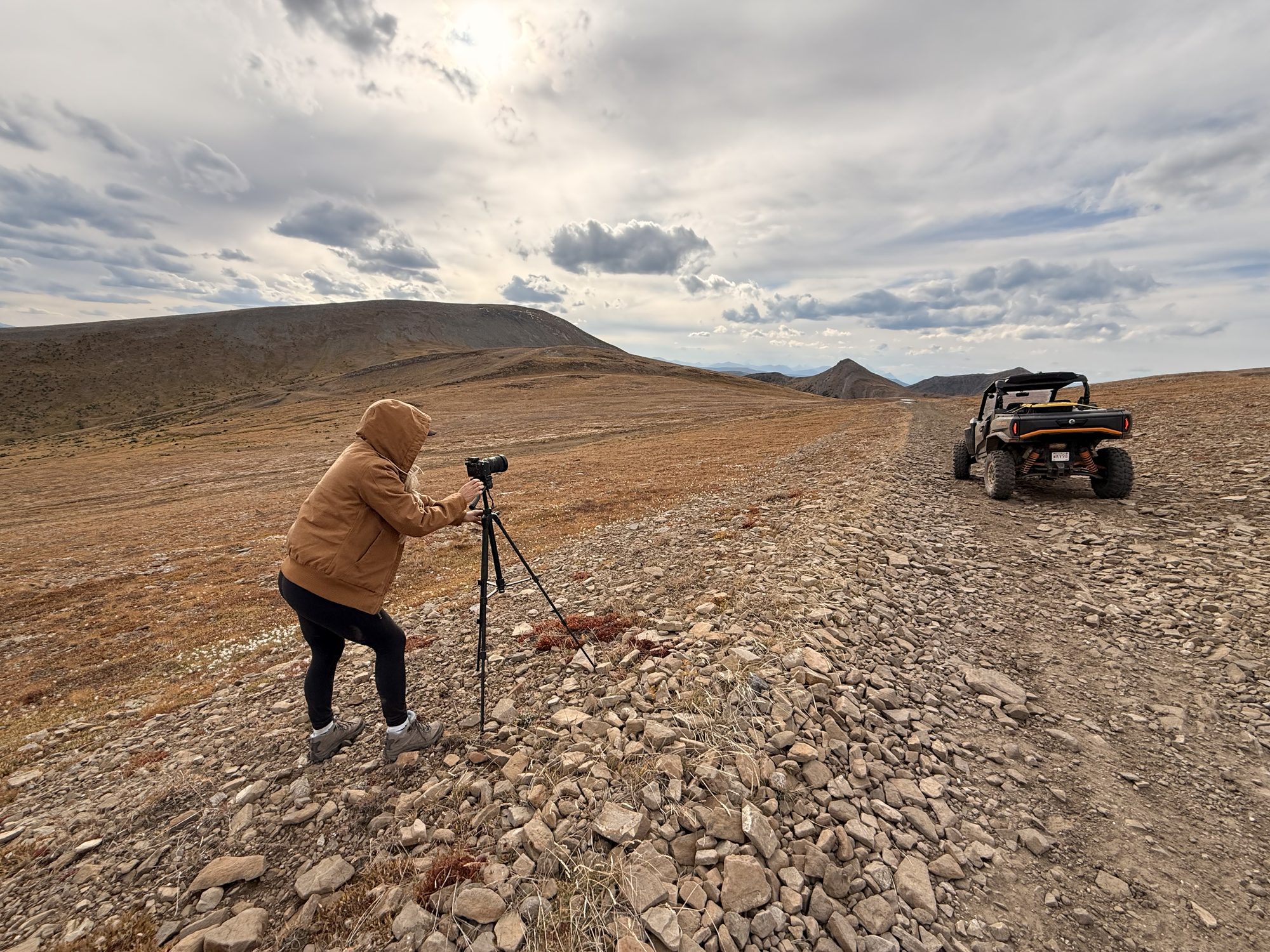
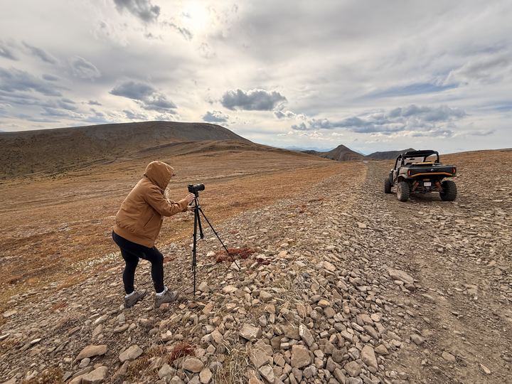
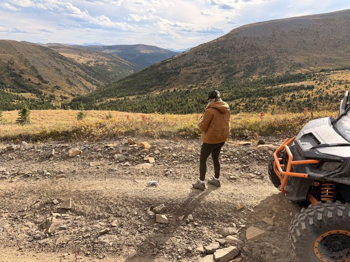
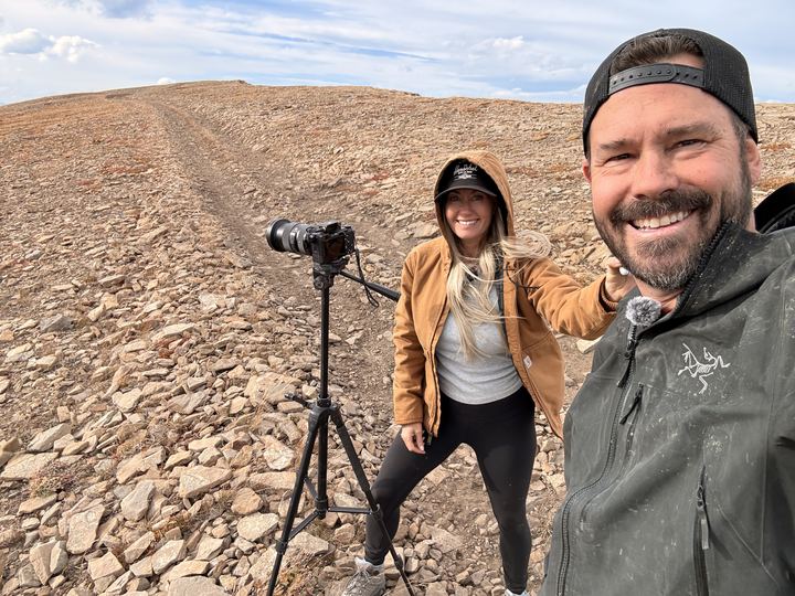
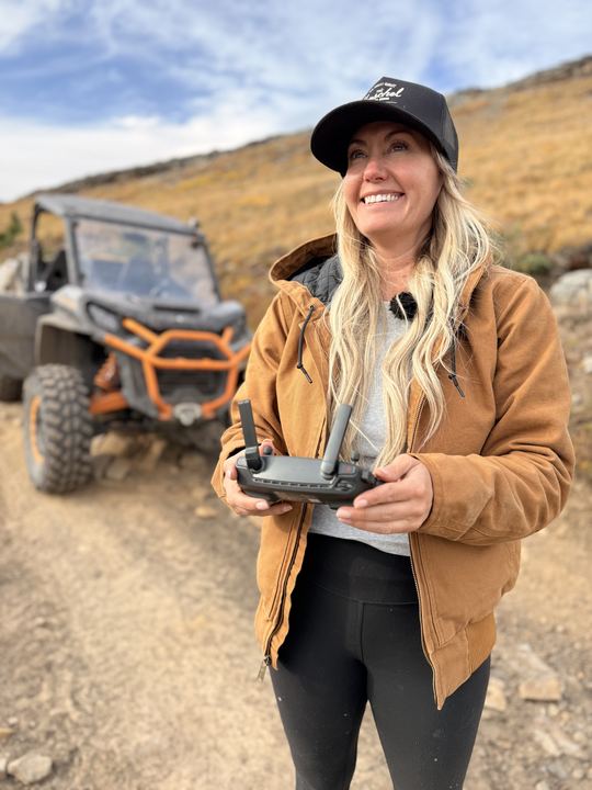
We reached the first peak just after 4 p.m., had lunch in the wind, and rode on to Peak #2 at 2,131 m. Stacie set up the tripod and flew the drone over the plateau, and we were back at camp before 7 p.m.: 66 km of riding for the day.
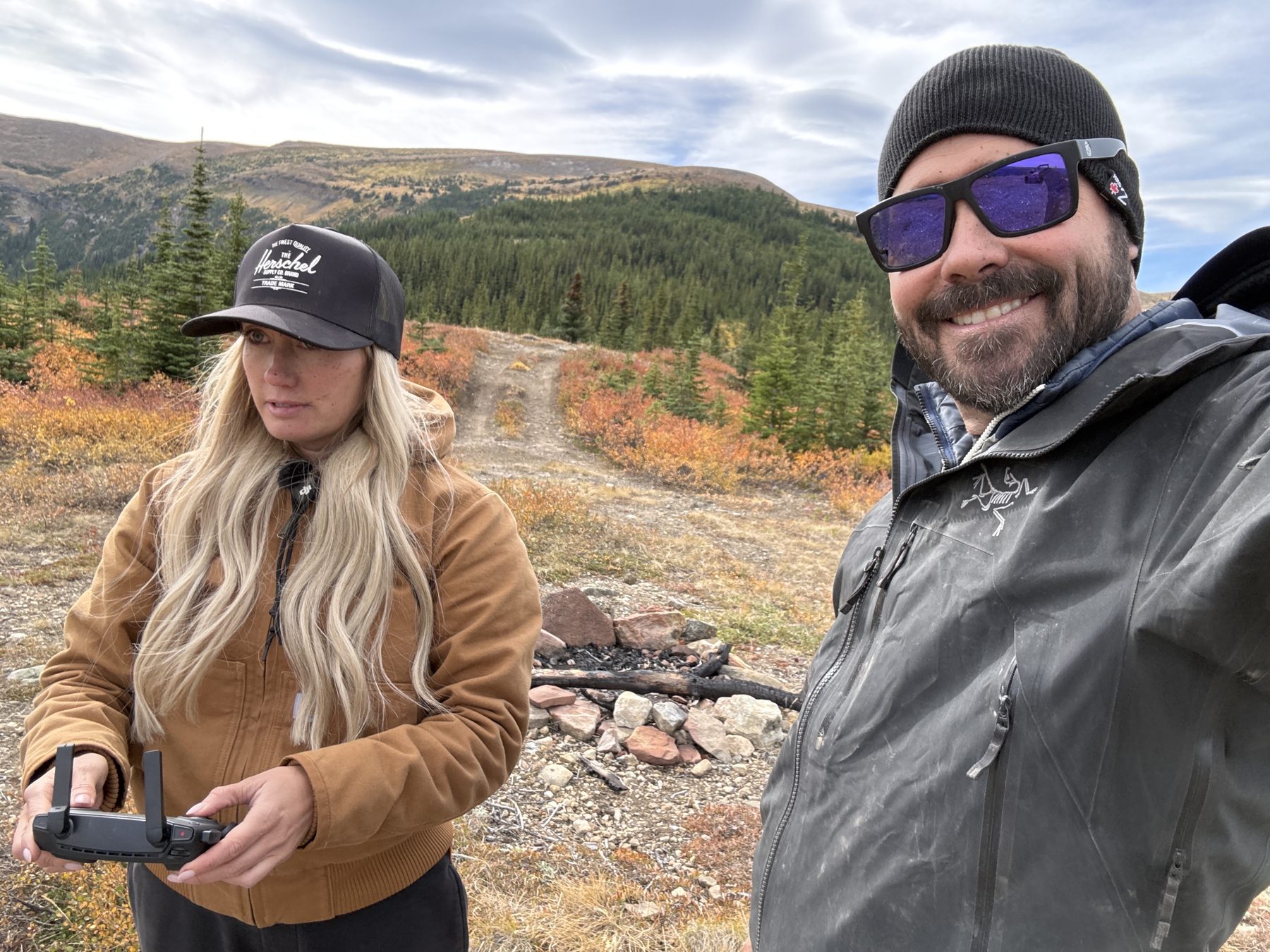
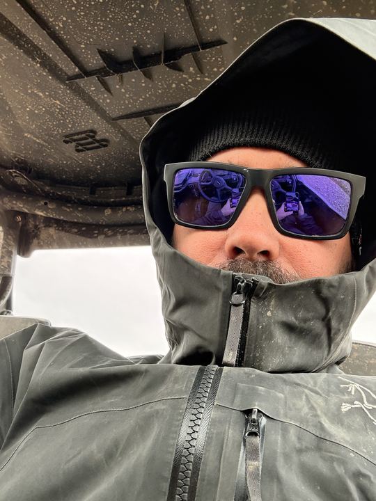
Bundled up against the cold, we rode back up. We found the Sneaky Campsite we had missed the day before and met a bighorn sheep on the cliffs. From the plateau we rode further along the ridge, south to our highest point of the trip at 2,154 m, then marked a high alpine camping spot on the way down.
We had to stop and launch the drone to catch the views stretching away in every direction. Then it came back down for a fist bump.
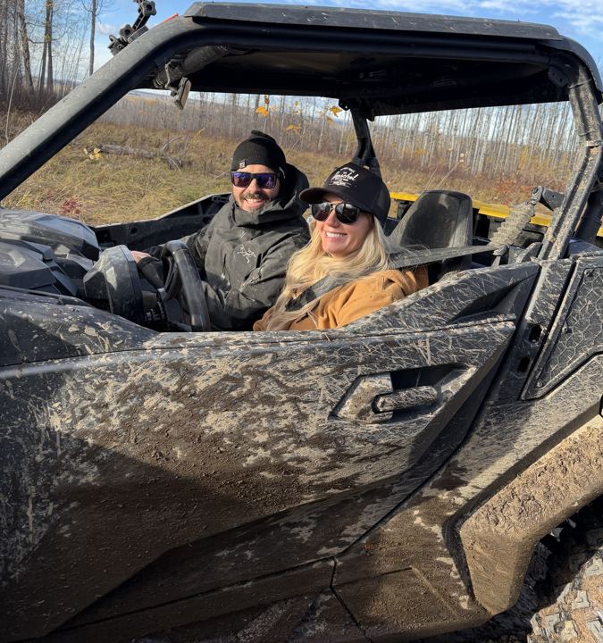
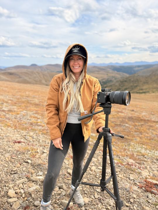
See Our PhotosOur photos from Beaverdam Road, the campsites, and the alpine, September 2026. Select any photo to open it full size.
The sources we used to plan, plus the maps we would download before losing signal.
 Backroad Mapbooks: Caw Ridge TrailCaw Ridge ATV trail listing and map
 Trailforks: Caw Ridge Multi TrailTrail map, uses, and recent reports
 Google MapsDirections to where the road splits for Caw Ridge (stay left), from our GPS
 Our GPX Tracks (ZIP)Our Gaia GPS (September 19 and 20), AllTrails, and Avenza Maps files
 Grande Cache Tourism and Interpretive CentreMaps and local advice on Highway 40. Open daily 9 to 5, 780-827-3300
 Public Lands Camping PassRequired to random camp on public land at Caw Ridge, 18 and older
 The Caw Ridge Mountain Goat StudySteeve Côté, Wild Lands Advocate, April 2010
 RidersWest: Grande Cache ATV TrailsCaw Ridge among eight Grande Cache rides, 2023
 511 AlbertaHighway 40 road conditions and closures
Caw Ridge is an alpine ridge north-west of Grande Cache, Alberta. It is reached from Highway 40 by Beaverdam Road and old mining roads. We camped about 14 km up Beaverdam Road and rode 38 km from camp to the second high point on the ridge.
Drive 8.1 km north of Grande Cache on Highway 40 to Beaverdam Road. Stay on Beaverdam Road through the coal mine property. About 30 km up the road, keep left for Caw Ridge, then follow the old mining roads up to the alpine. The MD of Greenview asks everyone to stay on Beaverdam Road through the mine.
Yes. The MD of Greenview lists Caw Ridge as a quadding route, and RidersWest calls it a pleasant ride for all skill levels. We rode it in a Can-Am Commander in September 2026. Alberta quads and dirt bikes over 50 cc must be licensed and registered. Stay on existing roads: the alpine is fragile.
Yes. There are no campgrounds on the ridge, but there are random camping spots on public land along the route. We marked six, from a big clearing on Beaverdam Road to a high alpine spot. Caw Ridge is inside Alberta's Public Lands Camping Pass area, so anyone 18 and older needs a pass to random camp: $20 per person for 3 days or $30 per year.
We had no cell service on Beaverdam Road or anywhere on the ridge in September 2026. We used a Starlink Mini for internet. Download your maps and the GPX tracks before you leave Grande Cache.
We saw a bighorn sheep on the cliffs near the ridgetop: Stacie spotted it first. Caw Ridge is also home to one of the longest-running studies of wild mountain goats in North America, started in 1989, and it is summer range for southern mountain caribou. Give wildlife plenty of room.
Summer to early fall. We rode it September 18 to 20, 2026, when the valleys were in full autumn colour and it was cold and windy on top. In recent years the first snow has reached the ridge between late September and late October.
Answers draw on the MD of Greenview, RidersWest, the Government of Alberta, the Alberta Wilderness Association, the Caw Ridge field guide and our own trip.
Trip stories, planning and gear posts from the Wild Latitude blog that cover Caw Ridge.
 Off-Grid Tech & Gear
One Trailer, Two Jobs: Our Rig and Our Camp
The Jumping Jack hauls the Commander in, then folds out into the place we sleep. How our rig and our camp come together.
 Trip Stories
Caw Ridge Delivered
Big mountain views, hidden campsites, a bighorn sheep, and trail after trail into the distance. Our three days above Grande Cache.
 Trip Planning
6 Adventures Near Grande Prairie, Alberta
From the Dunes on the edge of town to alpine lakes in Tumbler Ridge: the six trips we have full guides for, how far they are, and who they suit.
 Trip Planning
Grande Cache or Tumbler Ridge: Where to Start
Our backyard has two anchor towns. How Grande Cache and Tumbler Ridge compare for a first trip, and which adventures we would start with.
Every trip we take gets its own guide. Start with the others in northwestern Alberta.
Download the maps, pick a campsite, and follow along for the next adventure.